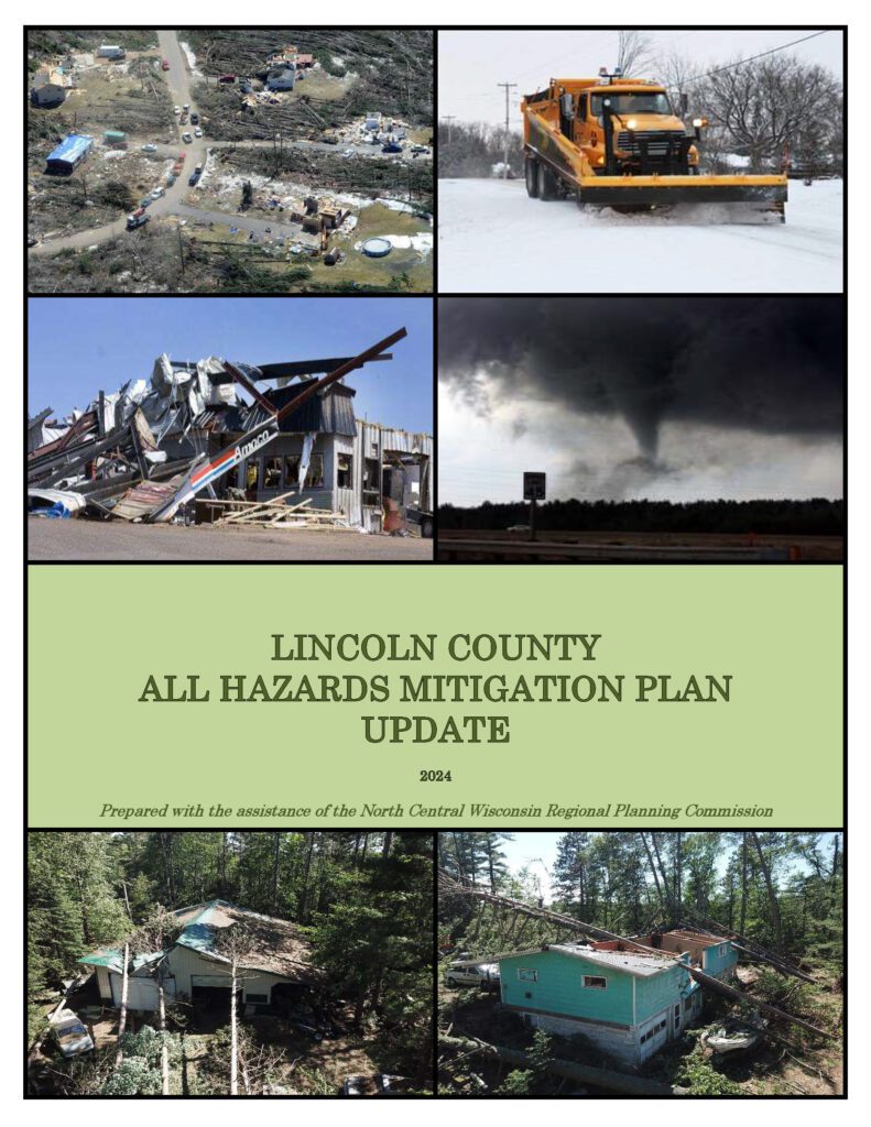
Lincoln County All Hazards Mitigation Plan Update 2024

Lincoln County All Hazards Mitigation Plan (AHMP) Update describes and documents the process used to develop the plan update. This includes how it was prepared and who (committee, organizations, departments, staff, consultants, etc.) was involved in the update process.  It also describes the local government involvement, the time period in which the update was prepared, and who to contact to answer questions and make recommendations for future amendments to the plan.
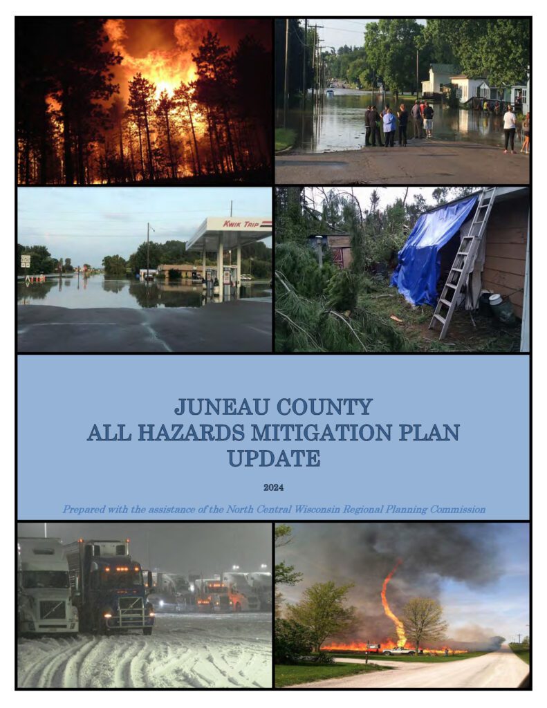
Juneau County All Hazards Mitigation Plan Update 2024

Juneau County All Hazards Mitigation Plan (AHMP) Update describes and documents the process used to develop the plan update. This includes how it was prepared and who (committee, organizations, departments, staff, consultants, etc.) was involved in the update process.  It also describes the local government involvement, the time period in which the update was prepared, and who to contact to answer questions and make recommendations for future amendments to the plan.

Langlade County Broadband Plan 2024

The objective of the Broadband Plan is to offer insights into the current state of broadband deployment in Langlade County. The information presented in this plan aims to help the county understand broadband, thus assisting local officials in making well-informed decisions in supporting the right broadband deployments. The plan is to help facilitate the optimal broadband connections to residents, taking into consideration the cost associated with these deployments. Access to quality and affordable high-speed internet opens new opportunities for economic development, education, public safety, entertainment, and healthcare for Langlade County.

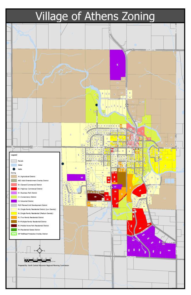
Village of Athens Zoning Map

Village of Athens zoning map, an updated zoning map was developed to reflect the latest land use regulations, community planning objectives, and growth patterns. The map serves as a critical tool for local government, and residents, ensuring clarity around zoning districts, permitted land uses, and development guidelines. This enhanced zoning map promotes better decision-making, more efficient land management, and clearer communication with stakeholders.

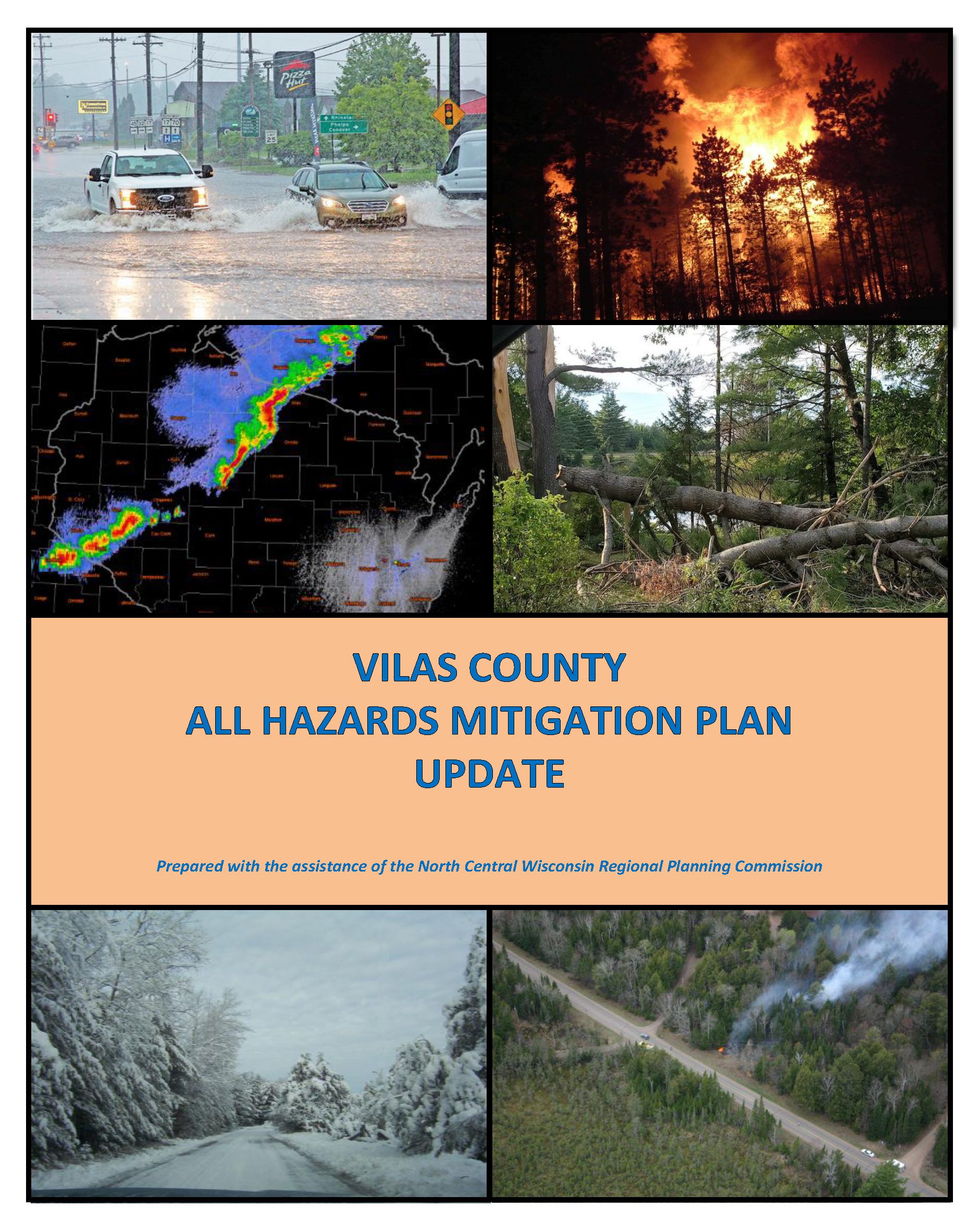
Vilas County All Hazards Mitigation Plan Update 2024

The federal Disaster Mitigation Act of 2000 mandates that mitigation plans be accomplished for all incorporated units of government as well as Native American tribes and updated on a five-year cycle. Although Vilas County collaborated with the Lac du Flambeau Tribe on the development of a joint hazard mitigation plan in 2008, its 2013 plan is considered the County’s initial All Hazards Mitigation Plan (AHMP) by FEMA. This is the second update to the plan. The next subsequent update will be due in 2029. An approved mitigation plan is required for a jurisdiction to be eligible for certain federal mitigation funding following a disaster. In addition, if a major disaster strikes a jurisdiction without a current plan, FEMA will require the jurisdiction to complete a plan.

Annual Report 2023

The Annual Report is prepared to provide interested local, state, and federal officials as well as citizens with an overview of the activities undertaken by the NCWRPC over the last year. The report highlights our five core work areas:

• Economic Development
• Geographic Information Systems
• Intergovernmental Cooperation
• Land Use, and
• Transportation

In addition, the report meets the requirements as outlined in Wisconsin Statute 66.0309(8)(b) for annual report preparation. This is our 50th Annual Report. With your continued support, we look forward to another successful year in 2024.