Vilas County All Hazards Mitigation Plan Update 2019

The federal Disaster Mitigation Act of 2000 mandates that mitigation plans be accomplished for all incorporated units of government as well as Native American tribes and updated on a five-year cycle. Although Vilas County collaborated with the Lac du Flambeau Tribe on the development of a joint hazard mitigation plan in 2008, its 2013 plan is considered the County’s initial All Hazards Mitigation Plan (AHMP) by FEMA. This is the first update to the plan. The next subsequent update will be due in 2024. An approved mitigation plan is required for a jurisdiction to be eligible for certain federal mitigation funding following a disaster. In addition, if a major disaster strikes a jurisdiction without a current plan, FEMA will require the jurisdiction to complete a plan.

Adams County Comprehensive Plan 2018

The purpose of a Comprehensive Plan is to guide future growth and development in the County over the next 10 to 20 years. A comprehensive plan provides the vision and direction for natural resource protection, housing and economic development, transportation and community facilities, land use, intergovernmental relations, and other factors that together form the community’s future. Comprehensive planning was enacted to encourage long-range planning for communities and provide consistency in land use decision making. The Comprehensive Plan is a guide that elected officials, residents, and business owners can use for directing growth and redevelopment in the community. The Comprehensive Plan is a long-range policy document consisting of goals, objectives, and policies prepared to meet the State’s definition of a comprehensive plan as defined under Section 66.1001.

Langlade County Scout Camp Concept Plan – 2019


The 522-acre camp was closed in 2015 and became available. The County researched and evaluated acquiring the site for a variety of potential uses. They then applied for funding from the Department of Natural Resources through the Knowles-Nelson Stewardship Land Acquisition program to help fund the purchase. The acquisition of the 522-acre site cost a total of $1.35 million, with $730,000 being provided from the Knowles-Nelson Stewardship Land Acquisition Program. Map 2: Site Boundary displays the boundaries of the entire site.

The County plans to utilize the site as a campground and to open public access to the two lakes on the site. The Langlade County Forestry Department will also manage the site’s wooded areas for timber production. The campground will be developed in phases over time and will provide for tent, cabin, and RV camping. This concept plan was prepared to provide a general development plan for the site, and to provide some general recommendations for the site.

On December 15, 2017, Langlade County purchased the Robert S. Lyle Scout Reservation, which is located east of Elcho in the northeast section of the County, from the Three Harbors Boy Scout Council of Milwaukee, Racine and Kenosha counties. For a representation of where the camp is located within Wisconsin, see Map 1: Location. The facility operated as a Boy Scout Camp for over 50 years.

Vilas County Outdoor Recreation Plan 2019-2023

The primary purpose of this recreation plan is to provide continued direction toward meeting the current and future recreation needs of the county. This is accomplished through an inventory and analysis of outdoor recreational facilities, and the establishment of recommendations to meet identified needs.

This Outdoor Recreation Plan (ORP) was prepared pursuant to Wisconsin Statute §23.30 Outdoor Recreation Program.  This section serves “to promote, encourage, coordinate, and implement a comprehensive long-range plan to acquire, maintain, and develop for public use, those areas of the state best adapted to the development of a comprehensive system of state and local outdoor recreation facilities and services…”
Adams County Outdoor Recreation Plan 2019-2023

Outdoor Recreation Plan

The primary purpose of this outdoor recreation plan is to provide continued direction toward meeting the current and future recreation needs of Adams County, Wisconsin

This Outdoor Recreation Plan (ORP) was prepared pursuant to Wisconsin Statute §23.30 Outdoor Recreation Program.  This section serves “to promote, encourage, coordinate, and implement a comprehensive long-range plan to acquire, maintain, and develop for public use, those areas of the state best adapted to the development of a comprehensive system of state and local outdoor recreation facilities and services…”
Oneida County Outdoor Recreation Plan 2019-2023

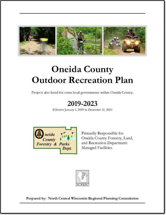
The primary purpose of this recreation plan is to provide continued direction toward meeting the current and future recreation needs of the county. This is accomplished through an inventory and analysis of outdoor recreational facilities, and the establishment of recommendations to meet identified needs.

This Outdoor Recreation Plan (ORP) was prepared pursuant to Wisconsin Statute §23.30 Outdoor Recreation Program.  This section serves “to promote, encourage, coordinate, and implement a comprehensive long-range plan to acquire, maintain, and develop for public use, those areas of the state best adapted to the development of a comprehensive system of state and local outdoor recreation facilities and services…”
Town of Harding, Wisconsin Road Surface Management Plan 2019 – 2023

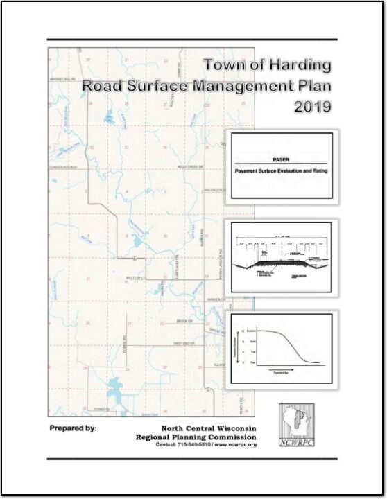
A road surface management plan for a local road network provides a town with the ability to plan for future road surface improvements. With a road surface management plan in place, the limited resources allocated to local roads can be better spent. The overall goal of the Road Surface Management Plan is to help the town make better decisions on the improvements to the local road system. This document contains information vital to the review and rating of the Town of Harding’s highway system. Thus, the Road Surface Management Plan will assist in preserving and rehabilitating the existing town road system in a timely and cost-effective manner.

Annual Report 2018

The Annual Report is prepared to provide interested local, state, and federal officials as well as citizens with an overview of the activities undertaken by the NCWRPC over the last year. The report highlights our five core work areas:

• Economic Development
• Geographic Information Systems
• Intergovernmental Cooperation
• Land Use, and
• Transportation

In addition, the report meets the requirements as outlined in Wisconsin Statute 66.0309(8)(b) for annual report preparation. This is our 45th Annual Report. With your continued support, we look forward to another successful year in 2019.

Adams-Juneau Flood Resiliency Study

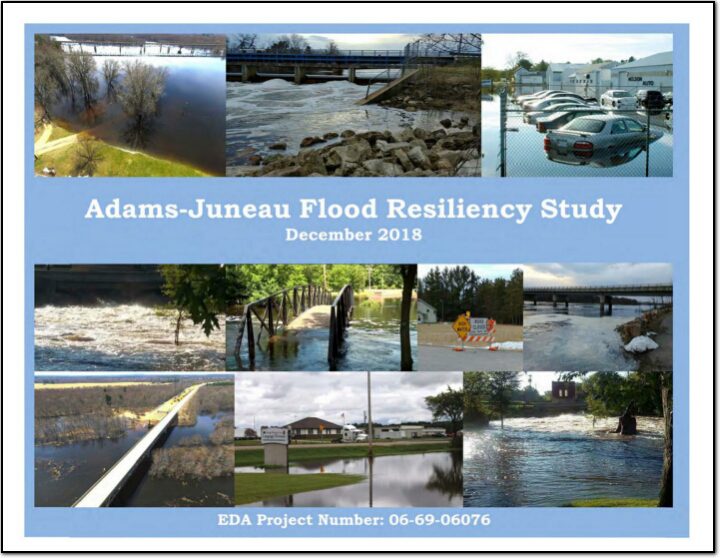
This study is in response to impacts suffered resulting from this flood event. The area had rainfall totals of 3 to 7 inches, while some localized areas experienced 9 to 11 inches total. At one Adams County location, a three day of total of 8.2 inches of rainfall was reported. The Wisconsin DNR issued warnings to residents and tourists urging them to avoid contact with flood waters, as well as notification to private property owners to be aware of possible well contamination. In Adams County, several homes were damaged. Additionally, numerous local and county road segments were closed due to water over the roads and culvert washouts, causing damages estimated to exceed $108,000. Reports of flooded parking lots impeded customer access to some businesses. Additionally, the County issued a press release to residents living in low lying areas and those living along the Wisconsin River/Castle Rock and Petenwell Flowages. Conditions above and below dams were considered dangerous, and recreationists and residents were urged to take extra precautionary measures and watch for rapidly rising water. In Juneau County, flooding occurred on the Yellow and Baraboo Rivers. Damages to residential and business properties was scattered throughout those basins. Public sector damages were in excess of $160,000. Several Town and county roads were closed due to high water.