Juneau County Locally Developed, Coordinated Public Transit-Human Service Transportation Plan 2019-2023

Federal transit law requires that any projects selected for funding under the Section 5310 Enhanced Mobility of Seniors and Individuals with Disabilities (formerly titled Elderly and Disabled Capital Assistance Program) must be derived from a “locally developed, coordinated public transit-human services transportation plan”. This requirement was implemented as part of the SAFETEA-LU legislation and the requirement continues under the new transportation legislation, FAST Act (Fixing America’s Surface Transportation). The purpose of the coordinated planning process is to have stakeholder involvement in the assessment of elderly and disabled transportation, and to provide strategies and goals to improve those transportation alternatives. These coordinated plans were last completed in 2013 and are due to be updated
for 2019.

City of Antigo Comprehensive Plan 2018

The City of Antigo Comprehensive Plan is intended to guide City decision-makers, property owners, developers, civic and non-profit organizations, and community members in the growth, development, and improvement of the City of Antigo. Each chapter of this plan documents existing conditions in the City and identifies primary issues or concerns the City may need to address in the future. It includes information on the City’s demographics, natural resources, land use, transportation, utilities, housing, cultural resources, community facilities, parks, economic development and intergovernmental cooperation.

Town of Cutler Comprehensive Plan 2018

The Town of Cutler Comprehensive Plan is intended to provide an overall framework for planning. Comprehensive Planning is defined in State Statue 66.1001. This plan follows closely the requirements outlined in that statute. A comprehensive plan is developed for a variety of reasons, including:

 Identifying areas appropriate for development and preservation over the next 20 years;
 For recommending land uses in specific areas of the town; and
 To guide elected officials with town derived objectives for making land use decisions.

Wausau Urban Area Sewer Service Area Plan 2040

This report is intended to update and replace the previous, 2025 Wausau Urban Area Sewer Service Plan for the City of Wausau and surrounding urban area. These types of plans are also known as areawide water quality management plans.

The general purpose of this areawide water quality management plan, herein referred to as Sewer Service Area Plan, is to maintain a twenty-year sanitary sewer service boundary for the Wausau Urban Area and an institutional structure for implementing the Plan and managing the extension of sanitary sewage services within this urban area. The urban sanitary sewer service area boundary identifies the geographic land area within which sanitary sewer service could be made available by the year 2040 in a costeffective, environmentally acceptable manner.

Village of Hatley Comprehensive Plan

The Village of Hatley Comprehensive Plan 2017 update documents existing conditions in the village as well as issues and concerns on a number of topics including future development, land use, transportation, housing, and economic development. Additionally this plan presents policies and actions to address those concerns and take future action. The 2017 update of this plan was guided by a Comprehensive Plan Steering Committee that consisted of five citizen members of the Village Plan Commission and two members of the Village Board. Public Input was sought at all stages of the planning process through public meetings and hosting the documents on the North Central Wisconsin Regional Planning Commission (NCWRPC) website. This plan is intended to guide village decision-makers on a variety of issues over the next twenty years.

Stettin Elementary Safe Routes to School Plan 2018

The City of Wausau and Town of Stettin both are aware of the safety issues of walkers, bicyclists, and school children using Stettin Drive from Brockmeyer Park northwest toward Stettin Elementary. After some communications with WisDOT, the City and the Town of Stettin brought on the Wausau School District to proceed with creating a SRTS plan for Stettin Elementary. Creating a SRTS plan provides a comprehensive review of the whole area to make walking and bicycling to school safer for children, while also improving community members’ overall quality of life since any new bike or pedestrian accommodations are open to all people at all times of the day.

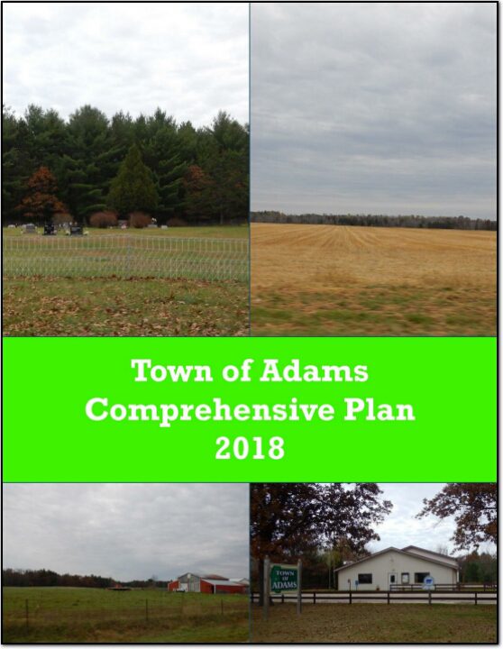
Town of Adams Comprehensive Plan 2018

The purpose of a Comprehensive Plan is to guide future growth and development in the Town over the next 10 to 20 years. A comprehensive plan provides the vision and direction for natural resource protection, housing and economic development, transportation and community facilities, land use, intergovernmental relations, and other factors that together form the community’s future. Comprehensive planning was enacted to encourage long-range planning for communities and provide consistency in land use decision making. The Comprehensive Plan is a guide that elected officials, residents, and business owners can use for directing growth and redevelopment in the community. The Comprehensive Plan is a long-range policy document consisting of goals, objectives, and policies prepared to meet the State’s definition of a comprehensive plan as defined under Section 66.1001.
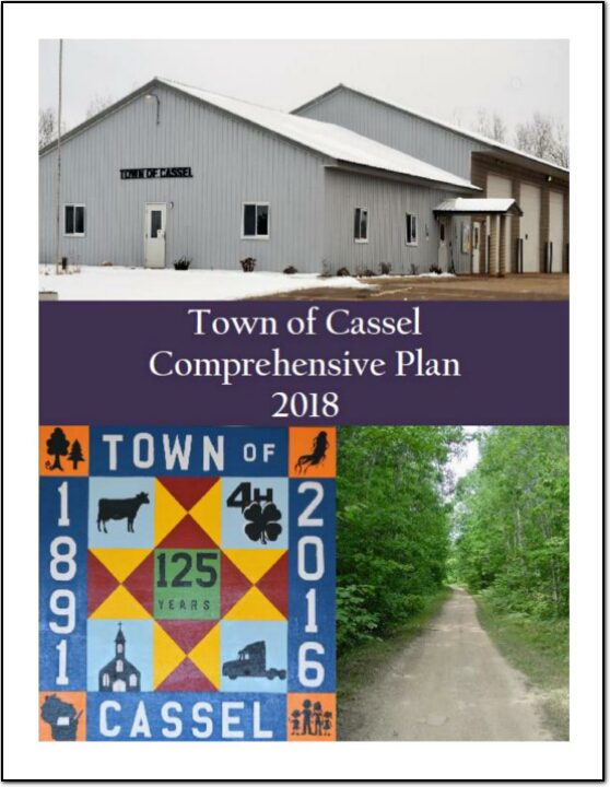
Town of Cassel Comprehensive Plan 2018

The Town of Cassel Comprehensive Plan documents existing conditions in the town, identifies primary issues or concerns the town may need to address in the future and includes goals and objectives to address those issues. It includes information on the town’s demographics, natural resources, land use, transportation, utilities, housing, cultural resources, community facilities, parks, economic development, and intergovernmental cooperation.

North Central Wisconsin Regional Bicycle and Pedestrian Plan

The North Central Wisconsin Regional Bicycle and Pedestrian Plan is one of the first steps to implementing the Regional Livability Plan. This plan will analyze bicycle and pedestrian transportation throughout the Region, and recommend policies, programs, and facilities to improve the safety, viability, convenience, and attractiveness of bicycling and walking for transportation.

This Regional Plan is intended to bridge the gap between the largely policy-based State plans and local community planning for bicycle and pedestrian networks. Many communities and counties within our Region have invested in bicycling and walking improvements, but these improvements often end at the boundary of the jurisdictions that planned them. This Regional Plan serves as a guide to help these communities and counties connect across their boundaries to form a complete Regional network of safe walking and bicycling.

Village of Friendship Comprehensive Plan 2018

The purpose of a Comprehensive Plan is to guide future growth and development in the village over the next 10 to 20 years. A comprehensive plan provides the vision and direction for natural resource protection, housing and economic development, transportation and community facilities, land use, intergovernmental relations, and other factors that together form the community’s future. Comprehensive planning was enacted to encourage long-range planning for communities and provide consistency in land use decision making. The Comprehensive Plan is a guide that elected officials, residents, and business owners can use for directing growth and redevelopment in the community. The Comprehensive Plan is a long-range policy document consisting of goals, objectives, and policies prepared to meet the State’s definition of a comprehensive plan as defined under Section 66.1001.