Every few years, NCWRPC updates basic demographic and economic development information in the form of County Profiles, which provide a snapshot of current economic trends and opportunities for economic growth. Included is a map of business park locations where acreage is available as well as contacts for various economic development agencies and programs.
Lincoln County Economic Profile 2024
Every few years, NCWRPC updates basic demographic and economic development information in the form of County Profiles, which provide a snapshot of current economic trends and opportunities for economic growth. Included is a map of business park locations where acreage is available as well as contacts for various economic development agencies and programs.
Oneida County Economic Profile 2024
Every few years, NCWRPC updates basic demographic and economic development information in the form of County Profiles, which provide a snapshot of current economic trends and opportunities for economic growth. Included is a map of business park locations where acreage is available as well as contacts for various economic development agencies and programs.
Portage County Economic Profile 2024
Every few years, NCWRPC updates basic demographic and economic development information in the form of County Profiles, which provide a snapshot of current economic trends and opportunities for economic growth. Included is a map of business park locations where acreage is available as well as contacts for various economic development agencies and programs.
Marathon County Locally Developed, Coordinated Public Transit-Human Service Transportation Plan 2024-2028
Federal transit law requires that any projects selected for funding under the Section 5310 Enhanced Mobility of Seniors and Individuals with Disabilities (formerly titled Elderly and Disabled Capital Assistance Program) must be derived from a “locally developed, coordinated public transit-human services transportation plan”. This requirement was implemented as part of the SAFETEA-LU legislation and the requirement continues under the new transportation legislation, FAST Act (Fixing America’s Surface Transportation). The purpose of the coordinated planning process is to have stakeholder involvement in the assessment of elderly and disabled transportation, and to provide strategies and goals to improve those transportation alternatives. These coordinated plans were last completed in 2019 and are due to be updated for 2023.
Vilas County Comprehensive Plan 2023
A comprehensive plan is a local government’s guide to community physical, social, and economic development. Comprehensive plans are not meant to serve as land use regulations in themselves; instead, they provide a rational basis for local land use decisions with a twenty-year horizon for future planning and community decisions.
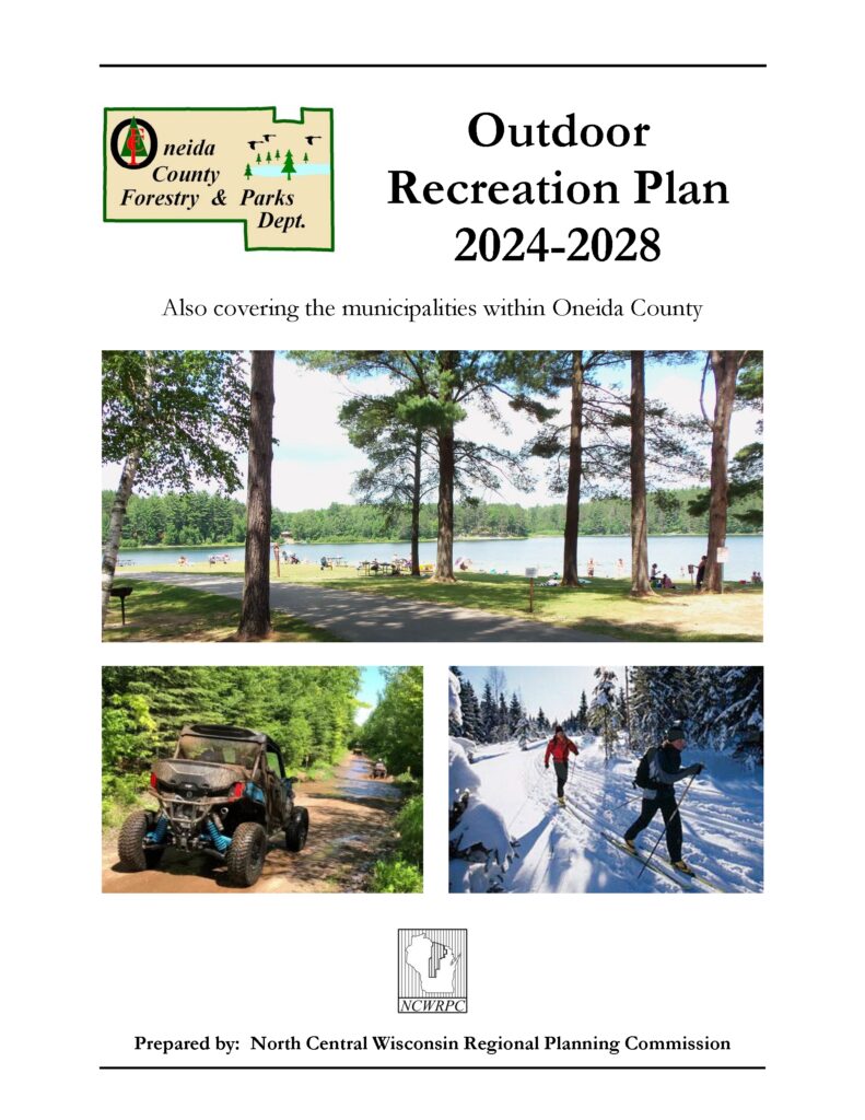
Oneida County Outdoor Recreation Plan 2024-2028
Oneida County Forestry, Land, and Recreation Department (FLRD) updates its Outdoor Recreation Plan every 5 years to identify outdoor recreation needs that affect the future of outdoor recreation in the County.
This Outdoor Recreation Plan (ORP) focuses upon FLRD managed outdoor recreation facilities, and also list projects within the towns. Rhinelander’s ORP will be referenced in this plan. All listed nature based and active recreation based projects become eligible for competitive federal and state outdoor recreation grant money when this plan is adopted by County or local municipality by resolution.
Non-profit groups, foundations, and the general public may also use this document to coordinate their own private efforts for developing outdoor recreation facilities.
If a local government is going to use the County Outdoor Recreation Plan as their own, then the local government needs to pass a resolution stating that the: “Oneida County Outdoor Recreation Plan, 2024-2028” is adopted as the local government’s plan too.
Make questions or comments about the plan here
(Email link to submit comments on this plan)
Adams County Broadband Plan
The broadband strategy presented at narrowing the digital divide in Adams County by enhancing broadband connectivity and accessibility. Additionally, this strategy will pinpoint obstacles and objectives related to expanding infrastructure and promoting broadband adoption. Consequently, Adams County will be in a stronger position to seek and, hopefully, secure BEAD funding for broadband deployment.
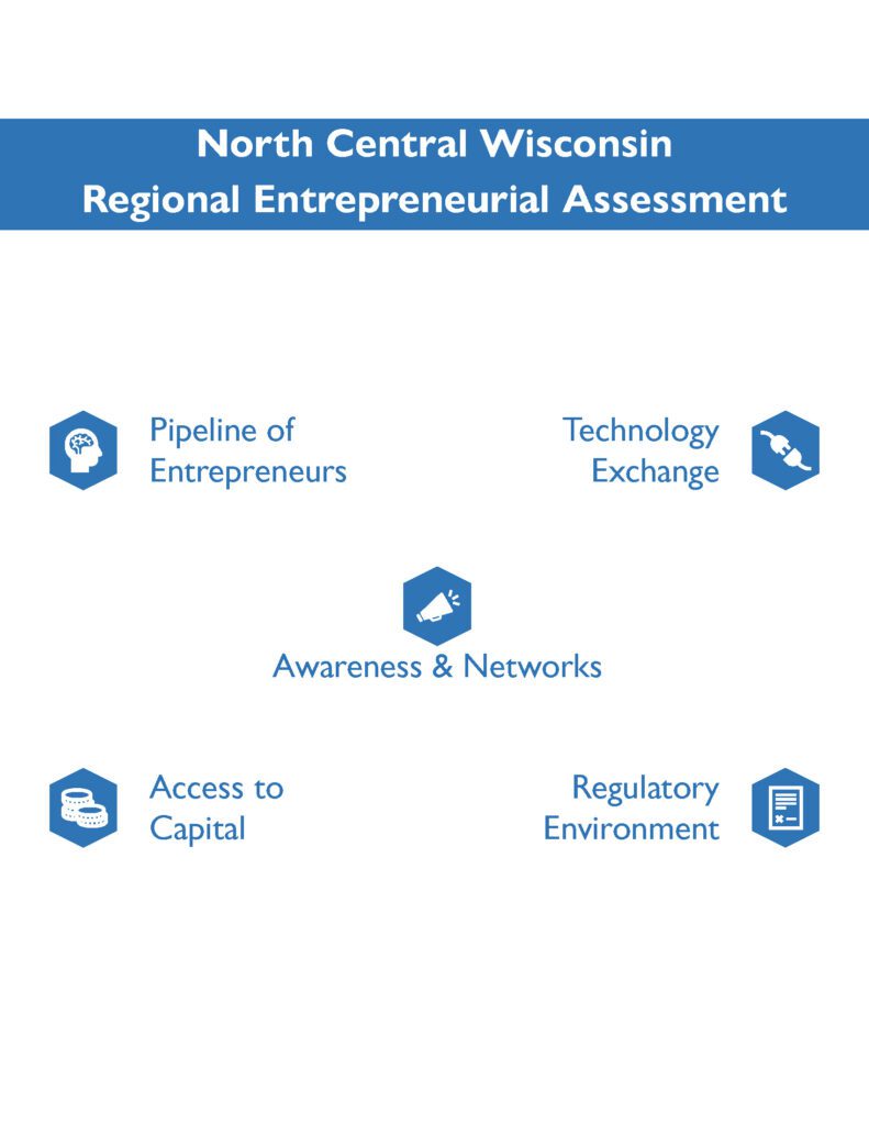
North Central Wisconsin Enterpreneurship Assessment
The North Central Wisconsin Regional Entrepreneurship Assessment examines how well the North Central Wisconsin Region is supporting entrepreneurs. The assessment contains a regional profile of the Region’s entrepreneurial ecosystem including business establishment trends, an overview of the five drivers of entrepreneurship and how they impact entrepreneurship throughout the Region, a summary of a survey sent out to local business owners throughout the Region, and recommendations intended to enhance the Region’s entrepreneurial ecosystem.
The objectives of this report are to provide a better understanding of the entrepreneurial ecosystem in the North Central Wisconsin Region, and to develop actionable recommendations based on the findings of the assessment. These recommendations will help guide the Region’s efforts towards fostering long-term economic and entrepreneurial development initiatives.
North Central Wisconsin Entrepreneurship Portal
North Central Wisconsin’s economy depends on entrepreneurs that are able to successfully start and manage companies, and on our ability to support existing businesses as well as attract new businesses. The North Central Wisconsin Entrepreneurship Portal supports entrepreneurs and business owners by providing access to information that can help them thrive.
The Entrepreneurship Portal identifies available funding opportunities for businesses; resources such as trainings, tools, and workshops & events to help support business development; organizations that support entrepreneurs and small businesses throughout the region; and available spaces such as co-working spaces and business incubators throughout North Central Wisconsin.
