In 2023, the Juneau County Health Department worked with the North Central Wisconsin Regional Planning Commission (NCWRPC) to produce this report in response to growing concerns over housing affordability and to update the 2018 Juneau County Housing Study. Housing affordability affects the County’s quality of life and ability to compete economically, and it affects the health, safety, and happiness of the County’s residents. This project consisted of robust data collection, public surveys, public open houses, and stakeholder interviews to understand which housing types are highest in demand, and what barriers prevent an adequate supply of desired housing. This assessment recommends a variety of strategies and programs that each individual community may explore depending on their own needs to encourage the construction and rehabilitation of needed housing.
Stevens Point Urban Area Sewer Service Area Plan 2040 Update
This report is intended to update and replace the previous, Urban Area Sewer Service Plan for the City of Stevens Point and surrounding urban area. These types of plans are also known as areawide water quality management plans.
The general purpose of this areawide water quality management plan, herein referred to as Sewer Service Area Plan, is to maintain a twenty-year sanitary sewer service boundary for the Stevens Point Urban Area and an institutional structure for implementing the Plan and managing the extension of sanitary sewage services within this urban area. The urban sanitary sewer service area boundary identifies the geographic land area within which sanitary sewer service could be made available by the year 2040 in a cost effective, environmentally acceptable manner.
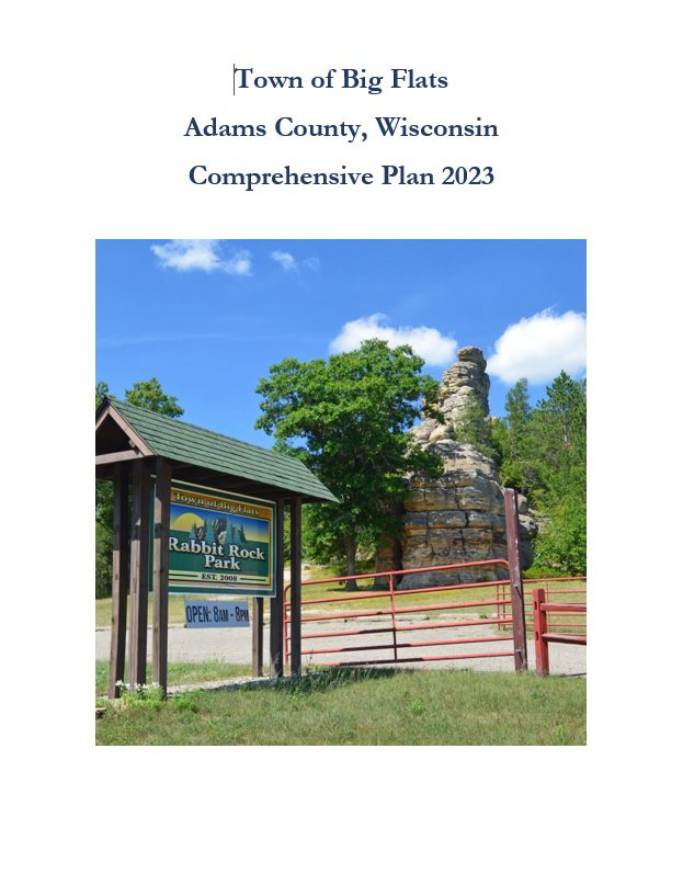
Town of Big Flats Comprehensive Plan 2023
The Comprehensive Plan explores potential issues that may have an impact upon the development of the Town over a 20-year planning period. As required by the state’s comprehensive planning law – 66.1001 – plans must be updated every ten years. The planning process for this comprehensive plan began as a public survey in late 2021, see Attachment F for details. In early 2022, the Town Plan Commission began a review of the survey and past plans and held a variety of Plan Commission meetings throughout 2023 to prepare the plan. A final Planning Commission meeting was held in Summer 2023 to review the final plan and recommend adoption of the plan by the Town Board, which adopted the plan September 2023.
Town of Plum Lake Comprehensive Plan 2023
A comprehensive plan is a local government’s guide to community physical, social, and
economic development. Comprehensive plans are not meant to serve as land use
regulations in themselves; instead, they provide a rational basis for local land use
decisions with a twenty-year horizon for future planning and community decisions.
Annual Report 2022
The Annual Report is prepared to provide interested local, state, and federal officials as well as citizens with an overview of the activities undertaken by the NCWRPC over the last year. The report highlights our five core work areas:
• Economic Development
• Geographic Information Systems
• Intergovernmental Cooperation
• Land Use, and
• Transportation
In addition, the report meets the requirements as outlined in Wisconsin Statute 66.0309(8)(b) for annual report preparation. This is our 49th Annual Report. With your continued support, we look forward to another successful year in 2023.
EMSI Analyst – Lightcast
Timely, accurate, and effective reports
EMSI / Lightcast delivers economic reports to regional planners who want expert analysis and detailed, hard-to-find data. Our consultants combine EMSI’s comprehensive labor market data and seasoned economic analysis to produce reports that analyze a broad range of workforce, education, and economic development issues. Unlike other consulting groups, we mine our own data and tailor it to create effective reports that communicate to all audiences. EMSI’s custom economic analysis includes the following major types:
- Impact studies (education, workforce, and industry)
- Targeted industry/cluster analyses
- Workforce/labor market analyses (including competency analyses)
- Econmic Gap analyses
- Asset mapping
Another way to think about the work EMSI does is in terms of the questions we frequently address:
- What is the economic impact of a particular institution or event?
- Which high-growth industries are most likely to promote a region’s economic development?
- What comprises the regional workforce (in terms of the industry mix, number of jobs, etc.)?
- What are the region’s major assets (e.g., population demographics, employment, etc.)?
REPORTS FROM AROUND THE REGION
Take the Broadband Speed Test
Christian Boulanger, AICP
Christian started work with the NCWRPC in 2023. He has a bachelor’s degree in public administration from UW-La Crosse and dual master’s degrees in public administration and urban planning from the UW-Milwaukee. He is a member of the American Institute of Certified Planners (AICP). Christian works mainly in the areas of economic development and land use.
715-849-5510 ext. 311
City of Rhinelander Outdoor Recreation Plan 2023-2027
The primary purpose of this outdoor recreation plan is to provide continued direction toward meeting the current and future recreation needs of the City of Rhinelander.
This Outdoor Recreation Plan (ORP) was prepared pursuant to Wisconsin Statute §23.30 Outdoor Recreation Program. This section serves “to promote, encourage, coordinate, and implement a comprehensive long-range plan to acquire, maintain, and develop for public use, those areas of the state best adapted to the development of a comprehensive system of state and local outdoor recreation facilities and services…”
Town of Saratoga Outdoor Recreation Plan 2023-2027
The primary purpose of this outdoor recreation plan is to provide continued direction toward meeting the current and future recreation needs of the Town of Saratoga.
This Outdoor Recreation Plan (ORP) was prepared pursuant to Wisconsin Statute §23.30 Outdoor Recreation Program. This section serves “to promote, encourage, coordinate, and implement a comprehensive long-range plan to acquire, maintain, and develop for public use, those areas of the state best adapted to the development of a comprehensive system of state and local outdoor recreation facilities and services…”