Great Pinery Heritage Waterway

The Great Pinery Heritage Waterway™ is a navigable water trail located in Northcentral Wisconsin. Situated on the Wisconsin River and its tributaries, the trail spans several counties and is 108 miles long.

The Great Pinery Heritage Waterway winds through scenic forests, urban landscapes and historic sites, inviting paddlers to immerse themselves in the natural beauty of the Great Pinery, learn about the native inhabitants and European settlers who once navigated these waters, and enjoy local attractions, food and happenings.

NCWRPC mapped the trail and features along the route.
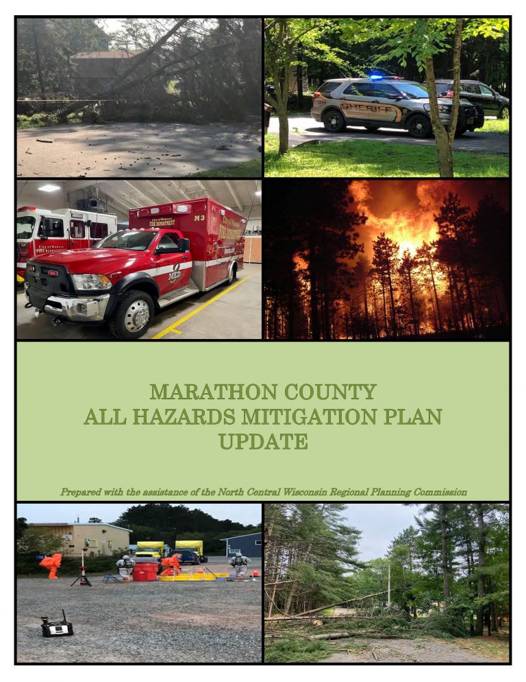
Marathon County All Hazards Mitigation Plan Update 2022

Marathon County All Hazards Mitigation Plan (AHMP) Update describes and documents the process used to develop the Plan Update. This includes how it was prepared and who (committee, organizations, departments, staff, consultants, etc.) was involved in the update process. It also describes the local government involvement, the time period in which the update was prepared, and who to contact to answer questions and make recommendations for future amendments to the Plan.

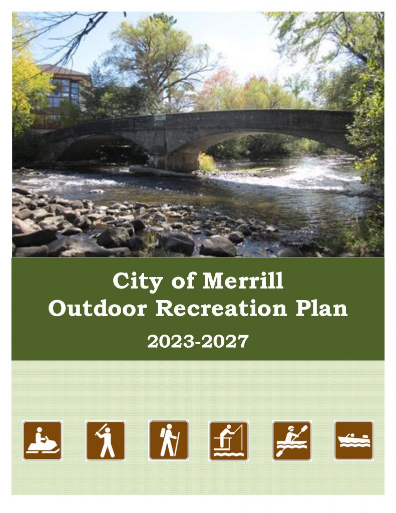
City of Merrill Outdoor Recreation Plan 2023-2027

The primary purpose of this outdoor recreation plan is to provide continued direction toward meeting the current and future recreation needs of the City of Merrill.

Adoption of this plan by the Merrill City Council and subsequent acceptance by the Wisconsin Department of Natural Resources (WDNR) will continue the City’s eligibility for Land and Water Conservation Fund (LAWCON), and Stewardship Fund money.

Non-profit groups, foundations, and the general public may also use this document to coordinate their own private efforts for developing outdoor recreation facilities.

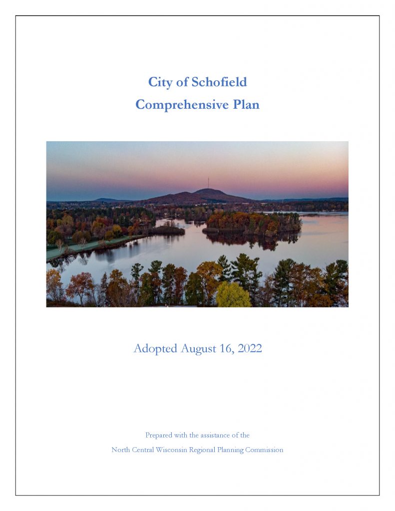
City of Schofield Comprehensive Plan 2022

The City of Schofield Comprehensive Plan is intended to guide City decision-makers, property owners, developers, civic and non-profit organizations, and community members in the growth, development, and improvement of the City of Elroy. Each chapter of this plan documents existing conditions in the City and identifies primary issues or concerns the City may need to address in the future. It includes information on the City’s demographics, natural resources, land use, transportation, utilities, housing, cultural resources, community facilities, parks, economic development and intergovernmental cooperation.

Wausau Metropolitan Area Regional Housing Assessment

The North Central Wisconsin Regional Planning Commission completed a regional housing assessment for the Town of Rib Mountain, Villages of Kronenwetter, Maine, Marathon City, Rothschild, and Weston, and Cities of Schofield and Wausau. This project uses Census data, real estate data, surveys, and interviews to find out what kinds of housing needs to be built in the region and what communities can do to help.

Economic Profiles 2022

Every few years, NCWRPC updates basic demographic and economic development information in the form of County Profiles, which provide a snapshot of current economic trends and opportunities for economic growth. Included is a map of business park locations where acreage is available as well as contacts for various economic development agencies and programs.

Adams County
Forest County
Juneau County
Langlade County
Lincoln County
Marathon County
Oneida County
Portage County
Vilas County
Wood County
Region

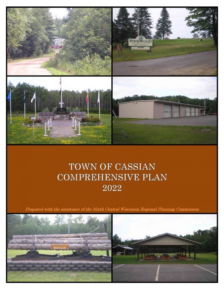
Town of Cassian Comprehensive Plan 2022

In the fall of 2021, the Town initiated a process to update its 2009 plan. The state planning law – 66.1001 – requires that a comprehensive plan be updated every ten years. A variety of Plan Commission meetings were held over the course of 2022 to prepare the plan. A final Plan Commission meeting was held in summer of 2022 to review the final draft and recommend adoption of the plan by the Town Board.

Marathon County Economic Profile 2022

Every few years, NCWRPC updates basic demographic and economic development information in the form of County Profiles, which provide a snapshot of current economic trends and opportunities for economic growth. Included is a map of business park locations where acreage is available as well as contacts for various economic development agencies and programs.