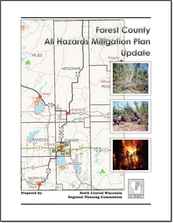
Forest County All Hazards Mitigation Plan 2015

Forest County All Hazards Mitigation Plan (AHMP) Update describes and documents the process used to develop the plan update. This includes how it was prepared and who (committee, organizations, departments, staff, consultants, etc.) was involved in the update process.  It also describes the local government involvement, the time period in which the update was prepared, and who to contact to answer questions and make recommendations for future amendments to the plan.
Northwoods NiiJii Enterprise Community, Inc. Comprehensive Strategic Plan – 2014

The Niijii Community is defined by the people who live and work there; the houses and businesses; the parks and cultural features. There are three tribes affiliated with the NiiJii Enterprise Community; they are the Lac du Flambeau Band of Lake Superior Chippewa, the Menominee Indian Tribe of Wisconsin and Sokaogon Chippewa Community (aka Mole Lake Band of Lake Superior Chippewa Indians), see MAP 1. The comprehensive plan provides guidance to the NiiJii Enterprise Community when making future decisions on key community elements. How a community changes, how that change is perceived and how change is managed are the subjects of community comprehensive planning. The plan will provide goals, objectives and policies to successfully grow and advance the communities in five key elements: Population and Housing; Economic Development; Utilities and Transportation; Agriculture, Natural Resources and Cultural; and Land Use. Goals and objectives include key livability principles ensuring future growth that accommodates community member’s needs and desires ultimately working towards a better more sustainable life for the NiiJii Enterprise Community.

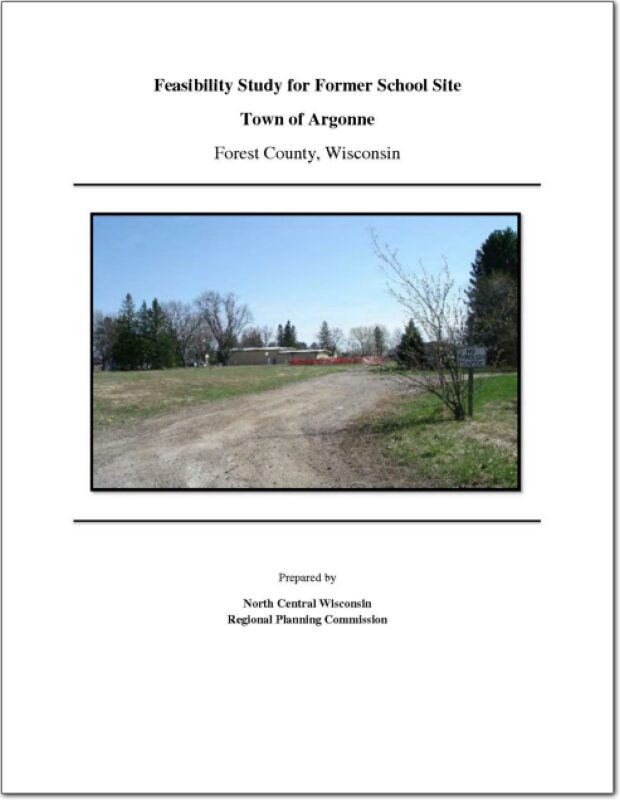
Feasibility Study for Former School Site Town of Argonne

The Town of Argonne was founded in 1887 when the Soo Line railroad built a depot. Today, the community has a population of just over 500 people. The center of the community is located at the intersection of State Highway 32 and 55. The community’s town hall, fire department, post office, community building and major business area is located within blocks of the intersection. The rail line is no longer active.

Forest, Oneida, Vilas County Locally Developed, Coordinated Public Transit-Human Service Transportation Plan 2014-2018

Federal transit law requires that any projects selected for funding under the Section 5310 Enhanced Mobility of Seniors and Individuals with Disabilities (formerly titled Elderly and Disabled Capital Assistance Program) must be derived from a “locally developed, coordinated public transit-human services transportation plan”. This requirement was implemented as part of the SAFETEA-LU legislation and the requirement continues under the new transportation legislation, MAP-21 (Moving Ahead for Progress in the 21st Century). The purpose of the coordinated planning process is to have stakeholder involvement in the assessment of elderly and disabled transportation, and to provide strategies and goals to improve those transportation alternatives. These coordinated plans were last completed in 2008 and are due to be updated in 2013.

Forest County Motorized Recreational Area – 2013

A top priority for Wisconsin Off-Road Vehicle Park Incorporated (WORVPI) is the development of a major destination Motorized Recreation Area (MRA) in Forest County. The feasibility study has six components: 1) Background, 2) Site Assessments, 3) MRA Connectivity, 4) Site Design, 5) Implementation, and 6) Conclusions. The overall goal of this study is to identify the best site for an MRA Park and a path to realize this vision in Forest County.

City of Crandon All Hazards Mitigation Plan Update 2012

Part I of the City of Crandon All Hazards Mitigation Plan (AHMP) Update describes and documents the process used to develop the plan update. This includes how it was prepared and who (committee, organizations, departments, staff, consultants, etc.) was involved in the update process. It also describes the involvement of adjacent units of government, the time period in which the update was prepared, and who to contact to answer questions and make recommendations for future amendments to the plan.
Forest County Outdoor Recreation Plan 2012-2016

Outdoor Recreation Plan

The primary purpose of this outdoor recreation plan is to provide continued direction toward meeting the current and future recreation needs of Forest County, Wisconsin

This Outdoor Recreation Plan (ORP) was prepared pursuant to Wisconsin Statute §23.30 Outdoor Recreation Program.  This section serves “to promote, encourage, coordinate, and implement a comprehensive long-range plan to acquire, maintain, and develop for public use, those areas of the state best adapted to the development of a comprehensive system of state and local outdoor recreation facilities and services…”

Forest County Potawatomi Comprehensive Plan – 2011

The Forest County Potawatomi community is a sovereign nation chartered by the Bureau of Indian Affairs, and is recognized federally as a Native American Tribal Nation and operates under a ratified constitution. The tribal lands are scattered within the Town of Lincoln in Forest County, Wisconsin. The Town of Lincoln the is a double township stacked atop each other, less the area taken up by the City of Crandon and two sections from the northeast and southwest corners. The Town lies in the southwest corner of Forest County, Wisconsin and surrounds the City of Crandon on three sides.

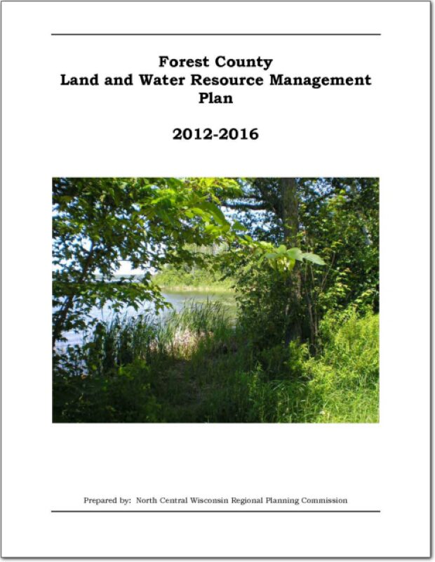
Forest County Land and Water Resource Management 2012-2016

The Forest County Land and Water Resource Management (LWRM) plan was developed to assist the county in managing and protecting the land and water resources throughout Forest County.

The goals and objectives in this plan will help resolve local natural resource problems as identified by the Citizens Advisory Committee (CAC).  These goals and objectives will also provide the basis for various private, local, state, and federal agencies to coordinate implementation of their programs of land and water management.  Additional advice was received from the Forest County Land and Water Committee during the course of meetings and in the form of motions or suggestions for items and issues to include in the plan.  

Forest County Comprehensive Plan 2011

Comprehensive plans incorporate a twenty-year vision and provide a rational basis for local land use decisions.

The comprehensive plan law (§66.1001 WI Stats. Adobe PDF 143 KB) defines the contents of a local comprehensive plan, and requires the plan to be updated at least every 10-years.

According to §66.1001 WI Stats., if a town, village, city, or county engages in official mapping, subdivision regulation, or zoning, those actions must be consistent with that community’s comprehensive plan.