Providing Economic Development, Geographic Information Systems, Intergovernmental Cooperation, Land Use Planning and Transportation Assistance since 1973
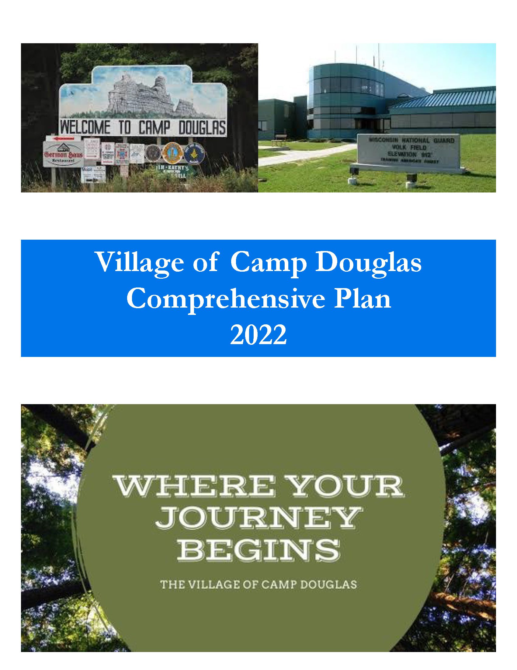
The Village of Camp Douglas Comprehensive Plan is intended to provide a guideline for development of the Village. Local officials shall use this document when making land use decisions. Numerous reasons exist for developing a comprehensive plan: To both assist in identifying and qualify for funding opportunities To identify areas appropriate for development and preservation over the next 20 years; To recommend land uses in specific areas of the Village; To establish community goals, objectives, and policies. This Comprehensive Plan was prepared to comply with the Comprehensive Plan State Statute 66.1001.
Every few years, NCWRPC updates basic demographic and economic development information in the form of County Profiles, which provide a snapshot of current economic trends and opportunities for economic growth. Included is a map of business park locations where acreage is available as well as contacts for various economic development agencies and programs.
The Wisconsin Regional Orthoimagery Consortium (WROC) is a multi-entity group. The goal of the consortium is to build and sustain a multi-participant program to acquire digital orthoimagery and elevation data throughout Wisconsin. The WROC approach brings a number of potential benefits to participants including cost savings, specifications and standards support, customized datasets, data sharing between members and partners, and procurement support.
The next round of WROC is underway. North Central Wisconsin Regional Planning Commission (NCWRPC) will once again coordinate and lead the Consortium. In 2021, the RPC extended its agreement with Ayres Associates to facilitate the Consortium and provide geospatial services to its members and partners.
There will be options for participation in 2023, 2024, and 2025. A number of member counties will be going to a 3-year cycle starting in 2023. Another group of counties will fly in 2024.The largest group will participate again in 2025, keeping the consistency of the 5-year cycle. Member counties flying in 2023, 2024, and 2025 will be eligible for partner funding.
The aerial mapping services provided under WROC will continue to evolve to meet the needs of local government members and partner organizations. This will be achieved through a coordinated, county-by-county approach over the next three years, with participation peaking in 2025. Program representatives will work with all private, federal, and state partners to build the program into regional datasets. WROC has a stated goal of achieving statewide coverage by the end of 2025.
WROC representatives will be hosting meetings across the state to discuss the consortium approach and participation options for 2023-25. If you are interested in meeting, please contact program managers Andy Faust or Zach Nienow
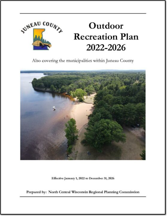
The primary purpose of this recreation plan is to provide continued direction toward meeting the current and future recreation needs of the county. This is accomplished through an inventory and analysis of outdoor recreational facilities, and the establishment of recommendations to meet identified needs.
Adoption of this plan by the Juneau County Board and subsequent acceptance by the Wisconsin Department of Natural Resources (WDNR), will continue eligibility of the county and its local units of government for Land and Water Conservation Fund (LAWCON), and Stewardship Funds. If a municipality wishes to cooperate with Juneau County and use this plan for grant applications it is not necessary for that municipality to adopt the plan individually. Local government grant applications have a better chance of approval if Juneau County applies on their behalf.
Non-profit groups, foundations, and the general public may also use this document to coordinate their own private efforts for developing outdoor recreation facilities.
This Outdoor Recreation Plan (ORP) was prepared pursuant to Wisconsin Statute §23.30 Outdoor Recreation Program. This section serves “to promote, encourage, coordinate, and implement a comprehensive long-range plan to acquire, maintain, and develop for public use, those areas of the state best adapted to the development of a comprehensive system of state and local outdoor recreation facilities and services…”
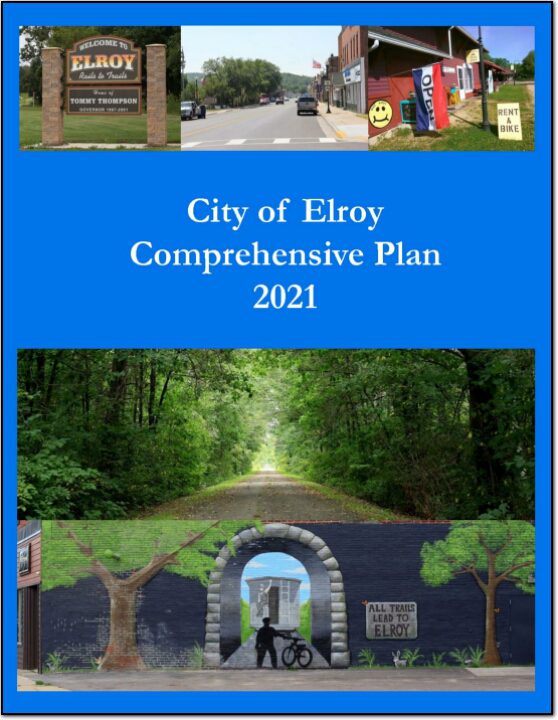
The City of Elroy Comprehensive Plan is intended to provide a guideline for development of the City. Local officials shall use this document when making land use decisions. Numerous reasons exist for developing a comprehensive plan: To both assist in identifying and qualify for funding opportunities To identify areas appropriate for development and preservation over the next 20 years; To recommend land uses in specific areas of the City; To establish community goals, objectives, and policies. This Comprehensive Plan was prepared to comply with the Comprehensive Plan State Statue 66.1001.
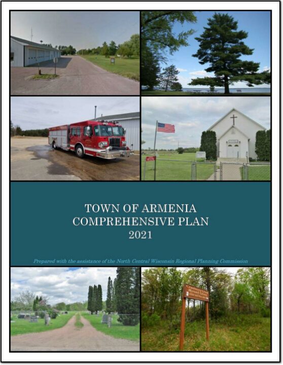
In the fall of 2020 the Town initiated a process to update its 2012 plan. The state planning law – 66.1001 – requires that a comprehensive plan be updated every ten years. A variety of Plan Commission meetings were held over the course of 2020 and 2021 to prepare the plan. A final Plan Commission meeting was held in early 2021 to review the final draft and recommend adoption of the plan by the Town Board.
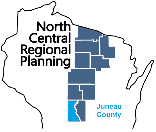
Juneau County is a county located in central Wisconsin. As of the 2020 census, the population was 26,718. The county seat is Mauston. Juneau County was created in 1857 and is named after Solomon Juneau, one of the founders of Milwaukee. The county is known for its rolling hills and valleys, as well as the Lemonweir and Wisconsin rivers. The county is home to the Castle Rock Lake, which is a popular spot for boating and fishing. Agriculture is the main industry in Juneau County, with dairy farming being particularly prevalent. Additionally, the county is home to several small communities and towns, including New Lisbon, Elroy and Necedah.