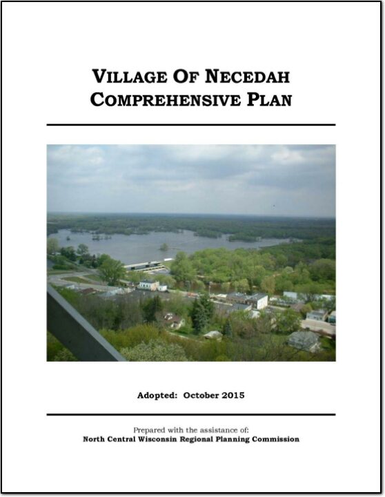
The Village of Necedah Comprehensive Plan guides the future growth, development and enhancement of the Village for the next 10 to 20 years. This plan incorporates more than just future land uses, but also direction for housing and neighborhood development, economic development, transportation, community facilities, protection of natural resources and intergovernmental cooperation. These crucial elements among others will shape the future of the Village.
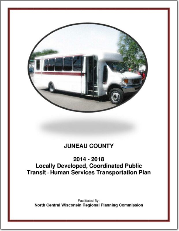
Juneau County Locally Developed, Coordinated Public Transit-Human Service Transportation Plan 2014-2018
Federal transit law requires that any projects selected for funding under the Section 5310 Enhanced Mobility of Seniors and Individuals with Disabilities (formerly titled Elderly and Disabled Capital Assistance Program) must be derived from a “locally developed, coordinated public transit-human services transportation plan”. This requirement was implemented as part of the SAFETEA-LU legislation and the requirement continues under the new transportation legislation, MAP-21 (Moving Ahead for Progress in the 21st Century). The purpose of the coordinated planning process is to have stakeholder involvement in the assessment of elderly and disabled transportation, and to provide strategies and goals to improve those transportation alternatives. These coordinated plans were last completed in 2008 and are due to be updated in 2013.
Juneau County Outdoor Recreation Plan 2012-2017
The primary purpose of this recreation plan is to provide continued direction toward meeting the current and future recreation needs of the county. This is accomplished through an inventory and analysis of outdoor recreational facilities, and the establishment of recommendations to meet identified needs.
Adoption of this plan by the Juneau County Board and subsequent acceptance by the Wisconsin Department of Natural Resources (WDNR), will continue eligibility of the county and its local units of government for Land and Water Conservation Fund (LAWCON), and Stewardship Funds. If a municipality wishes to cooperate with Juneau County and use this plan for grant applications it is not necessary for that municipality to adopt the plan individually. Local government grant applications have a better chance of approval if Juneau County applies on their behalf.
Non-profit groups, foundations, and the general public may also use this document to coordinate their own private efforts for developing outdoor recreation facilities.
This Outdoor Recreation Plan (ORP) was prepared pursuant to Wisconsin Statute §23.30 Outdoor Recreation Program. This section serves “to promote, encourage, coordinate, and implement a comprehensive long-range plan to acquire, maintain, and develop for public use, those areas of the state best adapted to the development of a comprehensive system of state and local outdoor recreation facilities and services…”
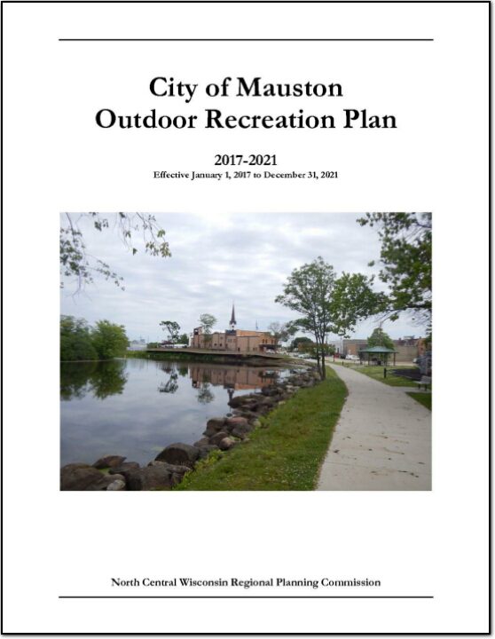
City of Mauston Outdoor Recreation Plan 2012-2016
The primary purpose of this outdoor recreation plan is to provide continued direction toward meeting the current and future recreation needs of the City of Mauston.
This Outdoor Recreation Plan (ORP) was prepared pursuant to Wisconsin Statute §23.30 Outdoor Recreation Program. This section serves “to promote, encourage, coordinate, and implement a comprehensive long-range plan to acquire, maintain, and develop for public use, those areas of the state best adapted to the development of a comprehensive system of state and local outdoor recreation facilities and services…”
Volk Field Hardwood Range Joint Land Use Study – 2011
A Joint Land Use Study (JLUS) is a collaborative effort between the military, local government, business, property owners, and other stakeholders. Since it was first established as a Military Reservation by the State of Wisconsin in 1888, what is now known as Volk Field has played an important role in state history, the economy of Central Wisconsin, and national security. A grant was approved by the Department of Defense in order to develop a JLUS that would address current and potential future encroachment that may threaten the mission of the Base, and as a way of fostering communication between the military and the community.
Northeast Juneau County Community Wildfire Protection Plan 2010
This plan is a Community Wildfire Protection Plan (CWPP) as defined in Title 1 of the Healthy Forest Restoration Act (HFRA) of 2003. The purpose of this CWPP is to provide the Towns of Armenia, Necedah and Germantown, the Village of Necedah, local fire departments, Juneau County, the Wisconsin Department of Natural Resources (WDNR), and the U.S. Fish and Wildlife Service (USFWS) with information and tools to help them reduce potential risks associated with wildfires and to collaboratively identify wildfire mitigation actions that will provide solutions to address the impacts of wildfire hazards. The plan will also assist the citizens of the area to prevent wildfires and be better prepared to deal with wildfire hazards. The plan develops strategies aimed at protecting life, property, and the natural environment.
Town of Wonewoc Plan 2009
The Town of Wonewoc Comprehensive Plan is intended to be the will-of-the-people in writing for land use planning. When the people’s desires in this community change, so too should this document. Local officials shall use this document to save time when making land use decisions. The Plan will also assist in development and management issues of public administration by addressing short-range and long-range concerns regarding development, and preservation of the community.
Town of Neva Comprehensive Plan – 2009
The Town of Neva is a standard 36-section township located in the central part of Langlade County, Wisconsin, north of the City of Antigo. It is bordered by Upham to the north, Price to the east, Peck to the west, and Antigo to the south. It is one of seventeen towns in the county.
Town of Elcho Comprehensive Plan – 2009
The Town of Elcho is a double township (72 total sections versus the standard 36) located in the northern part of Langlade County, Wisconsin about 15 minutes north of the City of Antigo. It is bordered by Enterprise and Schoepke in Oneida County to the north, Ainsworth to the east, Parrish to the west, and Upham to the south. It is one of seventeen towns in the county.
Village of Camp Douglas Comprehensive Plan 2009
The Village of Camp Douglas Comprehensive Plan is intended to be the will-of-the-people
in writing for land use planning. When the people’s desires in this community change, so
too should this document. Local officials shall use this document to save time when making
land use decisions. The Plan will also assist in development and management issues of
public administration by addressing short-range and long-range concerns regarding
development, and preservation of the community.