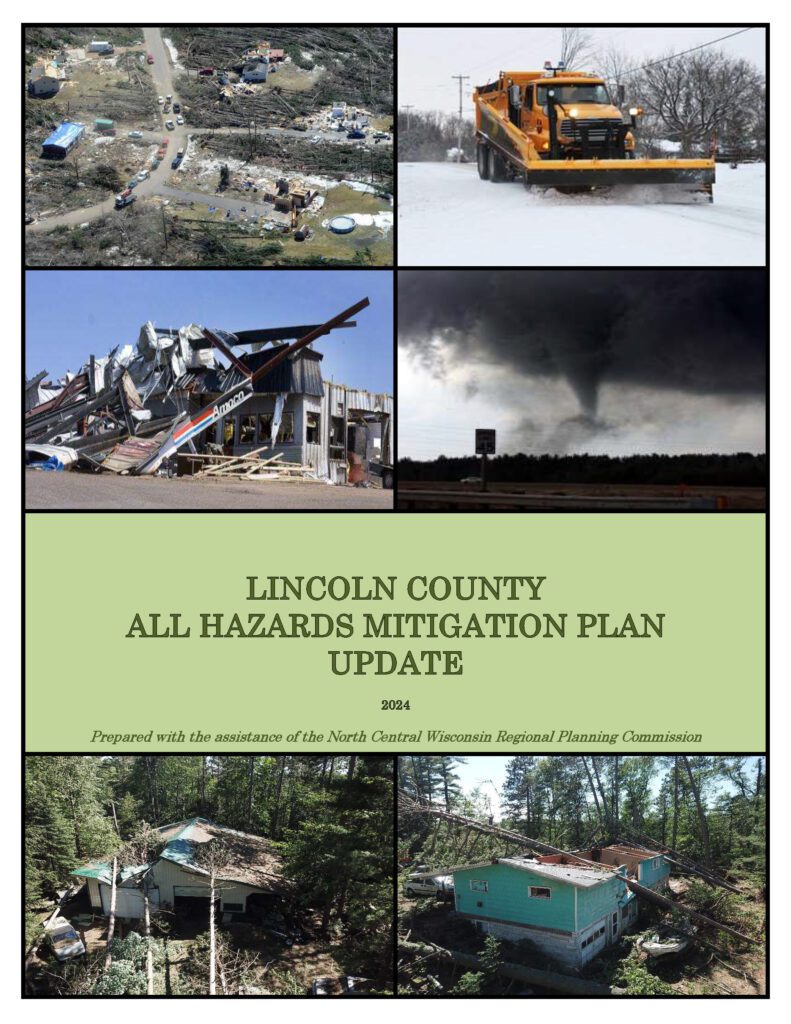
Lincoln County All Hazards Mitigation Plan (AHMP) Update describes and documents the process used to develop the plan update. This includes how it was prepared and who (committee, organizations, departments, staff, consultants, etc.) was involved in the update process. It also describes the local government involvement, the time period in which the update was prepared, and who to contact to answer questions and make recommendations for future amendments to the plan.
EMSI Reports – Economy Overview
We have been creating economy overviews for all ten of our counties along with Centergy and Grow North regions. We have reports from 2018 to 2024 – More information is about EMSI reports HERE. We also have historic reports back to 2013 if you are intrerested.
Lincoln County Broadband Plan
The objective of the Broadband Plan is to offer insights into the current state of broadband deployment in Lincoln County. The information presented in this plan aims to help the county understand broadband, thus assisting local officials in making well-informed decisions in supporting the right broadband deployments. The plan is to help facilitate the optimal broadband connections to residents, taking into consideration the cost associated with these deployments. Access to quality and affordable high-speed internet opens new opportunities for economic development, education, public safety, entertainment, and healthcare for Lincoln County.
Lincoln County Economic Profile 2024
Every few years, NCWRPC updates basic demographic and economic development information in the form of County Profiles, which provide a snapshot of current economic trends and opportunities for economic growth. Included is a map of business park locations where acreage is available as well as contacts for various economic development agencies and programs.
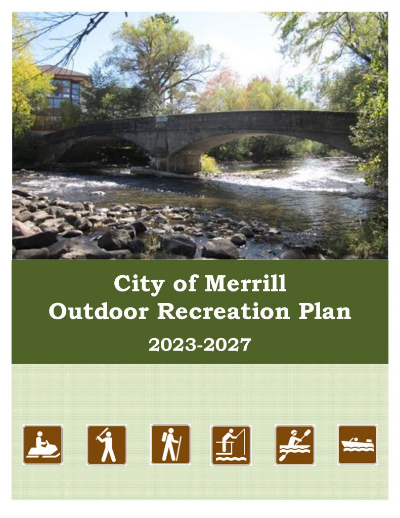
City of Merrill Outdoor Recreation Plan 2023-2027
The primary purpose of this outdoor recreation plan is to provide continued direction toward meeting the current and future recreation needs of the City of Merrill.
Adoption of this plan by the Merrill City Council and subsequent acceptance by the Wisconsin Department of Natural Resources (WDNR) will continue the City’s eligibility for Land and Water Conservation Fund (LAWCON), and Stewardship Fund money.
Non-profit groups, foundations, and the general public may also use this document to coordinate their own private efforts for developing outdoor recreation facilities.
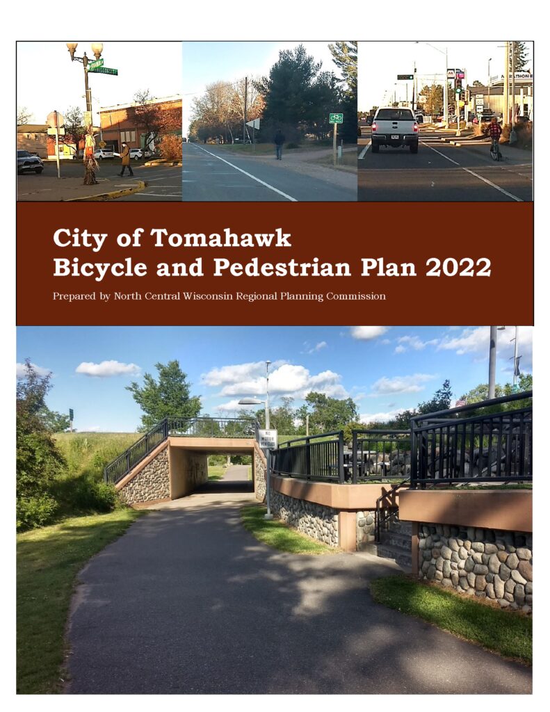
City of Tomahawk Bicycle and Pedestrian Plan 2022
The primary emphasis of this plan is to develop a more bicycle and pedestrian friendly transportation system in the City of Tomahawk. Biking and walking are essential to maintaining and promoting the quality of life for residents and visitors of Tomahawk.
Lincoln County Economic Profile 2022
Every few years, NCWRPC updates basic demographic and economic development information in the form of County Profiles, which provide a snapshot of current economic trends and opportunities for economic growth. Included is a map of business park locations where acreage is available as well as contacts for various economic development agencies and programs.
Town of Russell Road Surface Management Plan 2022-2026
Grow North Region Housing Study – 2021
Housing is a crucial component of livability and is critical for regional and local prosperity. Communities that can offer a variety of housing types that are affordable across a wide spectrum of income levels are significantly more capable of providing the conditions necessary to attract and retain residents of all life phases. Housing impacts more than just residents, as housing also impacts transportation, employment, economic development, land use patterns, and communities themselves. The connection between housing and work is a fundamental function of any transportation system, as many workers are required to travel to their jobs. This relationship between housing, employment, and transportation guides land use decisions, and fosters economic development and a sense of community within communities and the
Region.
Wisconsin Regional Orthoimagery Consortium (WROC)
The Wisconsin Regional Orthoimagery Consortium (WROC) is a multi-entity group. The goal of the consortium is to build and sustain a multi-participant program to acquire digital orthoimagery and elevation data throughout Wisconsin. The WROC approach brings a number of potential benefits to participants including cost savings, specifications and standards support, customized datasets, data sharing between members and partners, and procurement support.
Next round
The next round of WROC is underway. North Central Wisconsin Regional Planning Commission (NCWRPC) will once again coordinate and lead the Consortium. In 2021, the RPC extended its agreement with Ayres Associates to facilitate the Consortium and provide geospatial services to its members and partners.
There will be options for participation in 2023, 2024, and 2025. A number of member counties will be going to a 3-year cycle starting in 2023. Another group of counties will fly in 2024.The largest group will participate again in 2025, keeping the consistency of the 5-year cycle. Member counties flying in 2023, 2024, and 2025 will be eligible for partner funding.
The aerial mapping services provided under WROC will continue to evolve to meet the needs of local government members and partner organizations. This will be achieved through a coordinated, county-by-county approach over the next three years, with participation peaking in 2025. Program representatives will work with all private, federal, and state partners to build the program into regional datasets. WROC has a stated goal of achieving statewide coverage by the end of 2025.
WROC representatives will be hosting meetings across the state to discuss the consortium approach and participation options for 2023-25. If you are interested in meeting, please contact program managers Andy Faust or Zach Nienow