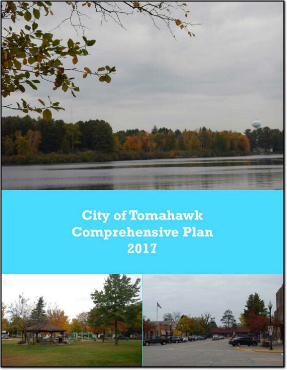
City of Tomahawk Comprehensive Plan 2017

The City of Tomahawk Comprehensive Plan is intended to guide city decision makers on a variety of issues over the next twenty years. This plan documents existing conditions in the city as well as issues and concerns to address in the future. Additionally this plan presents policies and actions to address those concerns. Lastly, it includes information that will assist in making decision about such topics as future development, land use, transportation, housing, and economic development.

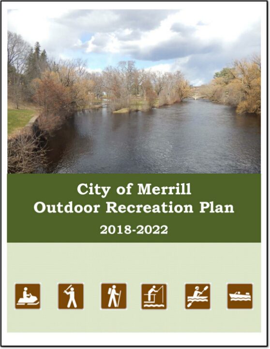
City of Merrill Outdoor Recreation Plan 2018-2022

The primary purpose of this outdoor recreation plan is to provide continued direction toward meeting the current and future recreation needs of the City of Merrill.

Adoption of this plan by the Merrill City Council and subsequent acceptance by the Wisconsin Department of Natural Resources (WDNR) will continue the City’s eligibility for Land and Water Conservation Fund (LAWCON), and Stewardship Fund money.

Non-profit groups, foundations, and the general public may also use this document to coordinate their own private efforts for developing outdoor recreation facilities.

Lincoln County Farmland Preservation Plan 2016

In 2010, agriculture constituted a $59 billion industry in Wisconsin. Farmland around the country is being lost at an alarming rate, and, once it is gone, we cannot get it back. Farmland preservation planning is crucial to preserve the agricultural land remaining in Wisconsin, because of the economic importance of agriculture in the State and the potential for loss of our agricultural land base.

Lincoln County Outdoor Recreation Plan 2017-2021

The primary purpose of this outdoor recreation plan is to provide continued direction toward meeting the current and future recreation needs of Lincoln County. This is accomplished through an inventory and analysis of outdoor recreational facilities, asking the public what they are looking for, and the establishment of recommendations to meet identified needs.

Lincoln County Comprehensive Plan 2012-2021

The Lincoln County Planning & Zoning Department appreciates the involvement of various community stakeholders in the creation of new Transportation, Housing, Agricultural and Natural Resources, and Economic Development plans for the county. The names and organizations of those persons participating in the planning processes are included in the appropriate section of this comprehensive plan.

STH 64/Pine Ridge Avenue Access Safety Study 2013

State Trunk Highway (STH) 64 (aka East Main Street) is one of the City of Merrill’s two principal arterials and is the major east-west corridor through the city. The other principal arterial is the north-south Center Avenue/County K (Bus. 51) corridor. The STH 64 / East Main Street and Pine Ridge Avenue intersection area is one of four major areas of employment in the city. Recent and proposed development on Pine Ridge Avenue have raised concerns about the effect of those changes on the operations and safety of STH 64 / E. Main Street and the interchange ramps from STH 64 to USH 51. The purpose of this study is to determine potential future mitigation measures and improvements on STH 64 as well as the local street network for safety and operations.

City of Tomahawk, Road Surface Management Plan – 2014

A roadway management plan for a local street system provides a community with the
ability to plan for future roadway improvements. With a roadway management plan in
place, the limited resources allocated to local roads can be better spent. The overall
goal of the Roadway Management Plan is to assist municipalities make better decisions
on the improvements to the local road system. This document contains information vital
to the review and rating of the City of Tomahawk’s roadway system. Thus, the
Roadway Management Plan will assist in preserving and rehabilitating the existing City
street system in a timely and cost-effective manner.

.