We have been creating economy overviews for all ten of our counties along with Centergy and Grow North regions. We have reports from 2018 to 2024 – More information is about EMSI reports HERE. We also have historic reports back to 2013 if you are intrerested.
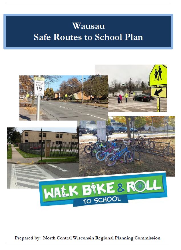
Wausau Safe Routes To School

Safe Routes to School (SRTS) programs are an opportunity to make walking and bicycling to school safer for children in grades K-8, and to increase the number of children who choose to walk and bicycle. On a broader level, SRTS programs can enhance children’s health and well-being, ease traffic congestion near the school, and improve community members’ overall quality of life.
Planning Process and Schedule
In 2018, the City of Wausau and the Wausau School District won a WisDOT SRTS planning grant to create a SRTS Plan.
In the fall of 2021, the City of Wausau and the Wausau School District began SRTS Planning with the assistance of the North Central Wisconsin Regional Planning Commission (NCWRPC). The NCWRPC is guiding the Wausau SRTS Task Force through the planning process.
Data collection occurred in spring & summer 2022. Further analysis with the SRTS Task Force will occur throughout the 2022-2023 school year.
Plan development occurred in 2023.
Plan review and revision will occur throughout the 2023-2024 school year.
Plan adoption is anticipated in spring/summer 2024.
Implementation of the Wausau SRTS Plan can begin anytime thereafter into many years later.
Schools in Wausau SRTS Plan:
| John Muir Middle School Thomas Jefferson Elementary Grant Elementary G.D. Jones Elementary Lincoln Elementary | Horace Mann Middle School Riverview Elementary Franklin Elementary Hawthorn Hills Elementary John Marshall Elementary |
Make questions or comments about the planning here.
(Email link to submit comments on this plan.)
Athens Elementary Safe Routes To School

Safe Routes to School (SRTS) programs are an opportunity to make walking and bicycling to school safer for children in grades K-8, and to increase the number of children who choose to walk and bicycle. On a broader level, SRTS programs can enhance children’s health and well-being, ease traffic congestion near the school, and improve community members’ overall quality of life.
Planning Process
In 2022, the North Central Wisconsin Regional Planning Commission and School District of Athens won a WisDOT SRTS planning grant to create a SRTS Plan for Athens Elementary. In the fall of 2023, the Village and Athens Elementary began SRTS Planning with the assistance of the North Central Wisconsin Regional Planning Commission (NCWRPC). The NCWRPC guided the Athens Elementary SRTS Task Force through the planning process.
Athens Elementary SRTS Task Force
Joy Redmann, Athens Elementary Principal
Jamey Handschke, Buildings and Grounds Supervisor
Andrea Sheridan, Superintendent
Tanner Nowacki, Evening Custodian
Julie Weideman, Parent
Carla Nowak, Kindergarten Teacher
Kathy Luther, Grade 2 Teacher
Beth Steinke, Business Office Manager
Bridget Kottke, Parent
Officer Aaron Stencil, Athens Police Department
Lisa Czech, Clerk, Village of Athens
Fred Heider, Planner, North Central Wisconsin Regional Planning Commission
School Data
Athens Elementary
-Parent Survey Results
Map 3 – Site Assessment (Not available yet.)
Map 4 – Transportation (Not available yet.)
Map 5 – School Routes (Not available yet.)
Map 6 – Recommendations (Not available yet.)
Make questions or comments about the planning here.
(Email link to submit comments on this plan.)
Spencer Safe Routes To School

Safe Routes to School (SRTS) programs are an opportunity to make walking and bicycling to school safer for children in grades K-8, and to increase the number of children who choose to walk and bicycle. On a broader level, SRTS programs can enhance children’s health and well-being, ease traffic congestion near the school, and improve community members’ overall quality of life.
Regional SRTS Home | Pedestrian Safety | Resources | Bicycle Safety | PSAs
Planning Process
In 2022, the North Central Wisconsin Regional Planning Commission and School District of Spencer won a WisDOT SRTS planning grant to create a SRTS Plan for Spencer Elementary and Spencer Middle/High School. In the fall of 2022, Spencer and Spencer Public Schools began SRTS Planning with the assistance of the North Central Wisconsin Regional Planning Commission (NCWRPC). The NCWRPC guided the Spencer SRTS Task Force through the planning process.
Spencer SRTS Task Force
Mike Endreas, District Administrator
Paul Hensch, Village Administrator/Clerk/Treasurer
Barb Wesle, Spencer School Board
Brooke Krause, Spencer PTA/Parent
Brad Bauer, Spencer Police Department
Edward Ikert, Spencer Elementary School Principal
Fred Heider, Planner, North Central Wisconsin Regional Planning Commission
.
Make questions or comments about the planning here.
(Email link to submit comments on this plan.)
Weston Elementary Safe Routes To School

Safe Routes to School (SRTS) programs are an opportunity to make walking and bicycling to school safer for children in grades K-8, and to increase the number of children who choose to walk and bicycle. On a broader level, SRTS programs can enhance children’s health and well-being, ease traffic congestion near the school, and improve community members’ overall quality of life.
Contact Us | Pedestrian Safety | Resources | Bicycle Safety | PSAs
.
Planning Process
In 2022, the North Central Wisconsin Regional Planning Commission and Weston Elementary won a WisDOT SRTS planning grant to create a SRTS Plan for Weston Elementary. In the fall of 2022, Weston Elementary began SRTS Planning with the assistance of the North Central Wisconsin Regional Planning Commission (NCWRPC). The NCWRPC is guiding the Weston Elementary SRTS Task Force through the planning process.
Weston Elementary SRTS Task Force
Kelly Ziegelbauer, Principal
Jason Jablonski, DCE Buildings and Grounds
Chris Nichols, DCE Finance Department
Tiffany Wurz, Parent
Greg Schremp, School Resource Officer
Karen Wegge, DCE K-12 Physical Education/Health Curriculum Coordinator
Yee Xiong, DCE School Board member
Michael Wodalski, Village Director of Public Works
Fred Heider, Planner, North Central Wisconsin Regional Planning Commission
.
Make questions or comments about the planning here.
(Email link to submit comments on this plan.)
Marathon County Economic Profile 2024
Every few years, NCWRPC updates basic demographic and economic development information in the form of County Profiles, which provide a snapshot of current economic trends and opportunities for economic growth. Included is a map of business park locations where acreage is available as well as contacts for various economic development agencies and programs.
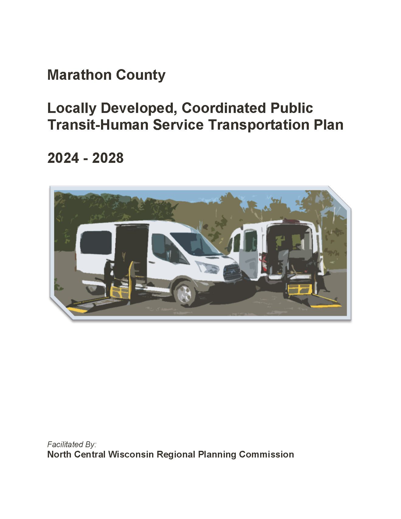
Marathon County Locally Developed, Coordinated Public Transit-Human Service Transportation Plan 2024-2028
Federal transit law requires that any projects selected for funding under the Section 5310 Enhanced Mobility of Seniors and Individuals with Disabilities (formerly titled Elderly and Disabled Capital Assistance Program) must be derived from a “locally developed, coordinated public transit-human services transportation plan”. This requirement was implemented as part of the SAFETEA-LU legislation and the requirement continues under the new transportation legislation, FAST Act (Fixing America’s Surface Transportation). The purpose of the coordinated planning process is to have stakeholder involvement in the assessment of elderly and disabled transportation, and to provide strategies and goals to improve those transportation alternatives. These coordinated plans were last completed in 2019 and are due to be updated for 2023.
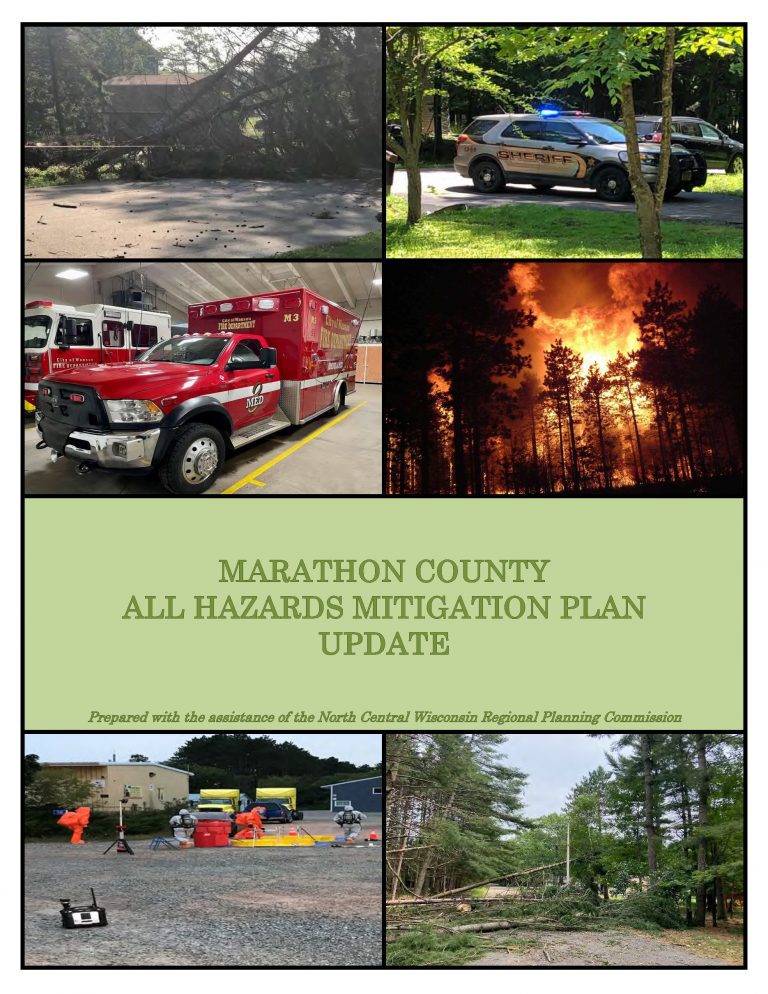
Marathon County All Hazards Mitigation Plan Update 2022
Marathon County All Hazards Mitigation Plan (AHMP) Update describes and documents the process used to develop the Plan Update. This includes how it was prepared and who (committee, organizations, departments, staff, consultants, etc.) was involved in the update process. It also describes the local government involvement, the time period in which the update was prepared, and who to contact to answer questions and make recommendations for future amendments to the Plan.
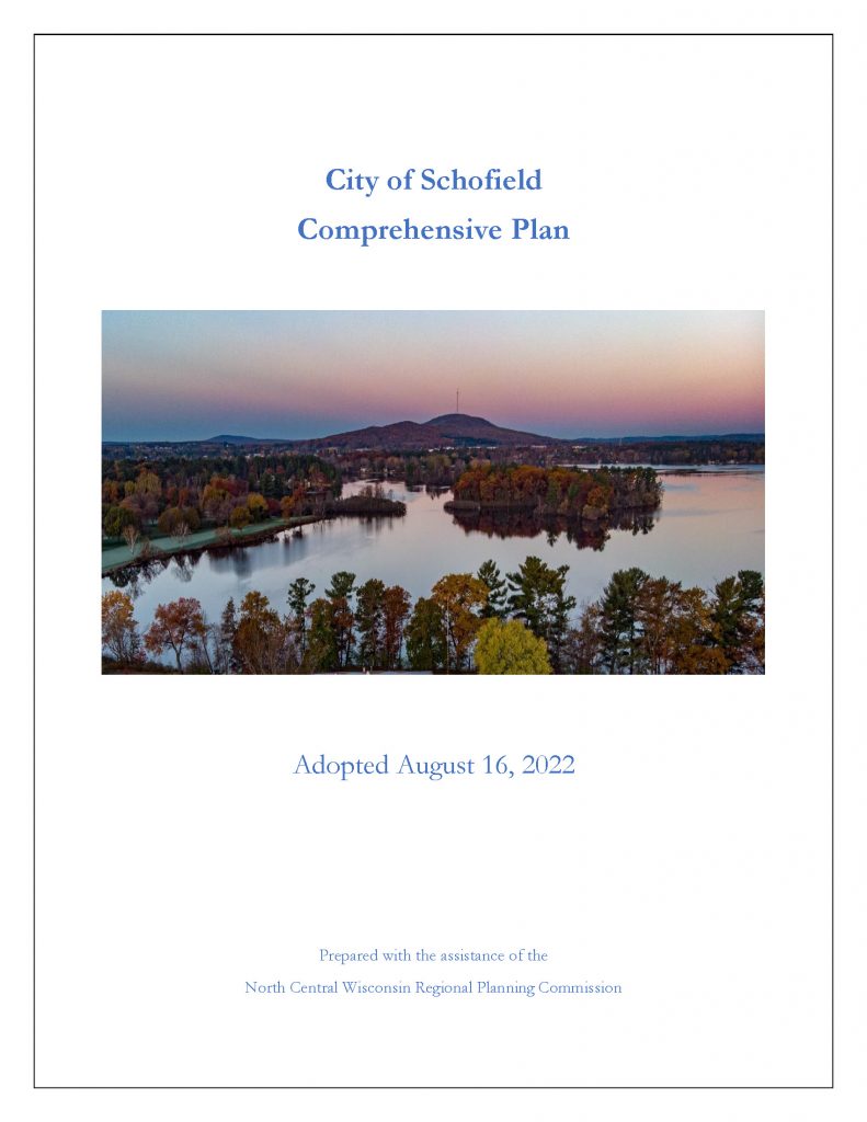
City of Schofield Comprehensive Plan 2022
The City of Schofield Comprehensive Plan is intended to guide City decision-makers, property owners, developers, civic and non-profit organizations, and community members in the growth, development, and improvement of the City of Elroy. Each chapter of this plan documents existing conditions in the City and identifies primary issues or concerns the City may need to address in the future. It includes information on the City’s demographics, natural resources, land use, transportation, utilities, housing, cultural resources, community facilities, parks, economic development and intergovernmental cooperation.
Jami Gebert
Marathon County