The Village of Spencer requested traffic counting services from the North Central Wisconsin Regional Planning Commission for three locations within the Village.
North Central Wisconsin Regional Planning Commission
Providing Economic Development, Geographic Information Systems, Intergovernmental Cooperation, Land Use Planning and Transportation Assistance since 1973
The Village of Spencer requested traffic counting services from the North Central Wisconsin Regional Planning Commission for three locations within the Village.
The primary purpose of this outdoor recreation plan is to provide continued direction toward meeting the current and future recreation needs of the Village of Rothschild.
The primary purpose of this outdoor recreation plan is to provide continued direction toward meeting the current and future recreation needs of the Town of Rib Mountain.
This Outdoor Recreation Plan (ORP) was prepared pursuant to Wisconsin Statute §23.30 Outdoor Recreation Program. This section serves “to promote, encourage, coordinate, and implement a comprehensive long-range plan to acquire, maintain, and develop for public use, those areas of the state best adapted to the development of a comprehensive system of state and local outdoor recreation facilities and services…”
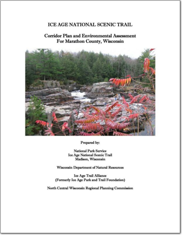
This document analyzes alternatives for locating and developing the Ice Age National Scenic Trail (NST) through southern Marathon County in Wisconsin and proposes implementation of the “Preferred” alternative.
On October 3, 1980, an amendment to the National Trails System (16 U.S.C. 1241 et seq.) authorized establishment of the Ice Age Trail as a National Scenic Trail (NST). To date, Congress has authorized the establishment of eleven NSTs—“extended trails so located as to provide for maximum outdoor recreation potential and for the conservation and enjoyment of the nationally significant scenic, historic, natural, or cultural qualities of the areas through which such trails may pass.” These trails are patterned after the renowned Appalachian NST. NSTs are intended to provide superlative experiences compared to other trails.
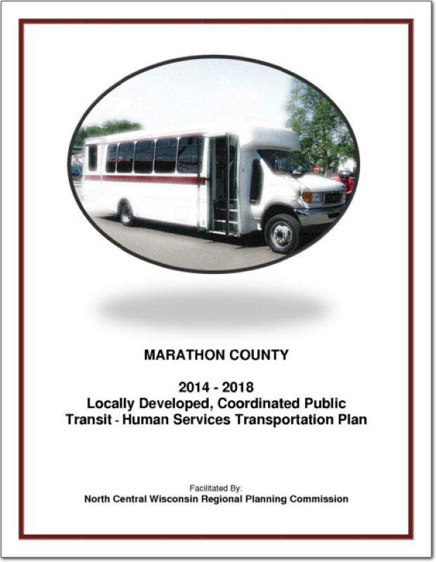
Federal transit law requires that any projects selected for funding under the Section 5310 Enhanced Mobility of Seniors and Individuals with Disabilities (formerly titled Elderly and Disabled Capital Assistance Program) must be derived from a “locally developed, coordinated public transit-human services transportation plan”. This requirement was implemented as part of the SAFETEA-LU legislation and the requirement continues under the new transportation legislation, FAST Act (Fixing America’s Surface Transportation). The purpose of the coordinated planning process is to have stakeholder involvement in the assessment of elderly and disabled transportation, and to provide strategies and goals to improve those transportation alternatives. These coordinated plans were last completed in 2008 and are due to be updated
for 2013.
The primary purpose of this outdoor recreation plan is to provide continued direction toward meeting the current and future recreation needs of the Village of Kronenwetter.
This Outdoor Recreation Plan (ORP) was prepared pursuant to Wisconsin Statute §23.30 Outdoor Recreation Program. This section serves “to promote, encourage, coordinate, and implement a comprehensive long-range plan to acquire, maintain, and develop for public use, those areas of the state best adapted to the development of a comprehensive system of state and local outdoor recreation facilities and services…”
The Village of Brokaw requested traffic counting services from the North Central Wisconsin Regional Planning Commission for County Highway WW.
Business growth in downtown Mosinee has been stagnant for many years. However, there has been recent activity as the result of a major transportation improvement project which included a new bridge and a roundabout. In addition, the Wisconsin Department of Transportation conducted a circulation study for Highway 153 through the downtown. That study and its recommendations helped spur more discussion about the downtown. As a result, community leaders identified the need to prepare a downtown development plan.
This report is intended to update and replace the original 2000-2020 sewer service area plan for the City of Marshfield and surrounding area. These types of plans are also known as areawide water quality management plans. The general purpose of this areawide water quality management plan, herein referred to as Sewer Service Area Plan, is to maintain a twenty year sanitary sewer service boundary for the Marshfield Urban Area and an institutional structure for implementing the Plan and managing the extension of sanitary sewage services within this urban area. The urban sanitary sewer service area boundary identifies the geographic land area within which sanitary sewer service could be made available by the year 2030 through a cost-effective, environmentally acceptable manner.