In 2010, agriculture constituted a $59 billion industry in Wisconsin. Farmland around the country is being lost at an alarming rate, and, once it is gone, we cannot get it back. Farmland preservation planning is crucial to preserve the agricultural land remaining in Wisconsin, because of the economic importance of agriculture in the State and the potential for loss of our agricultural land base.
City of Rhinelander Outdoor Recreation Plan 2015-2020
The focus of this plan is to enhance the viability of bicycling and walking as forms of transportatioThe primary purpose of this outdoor recreation plan is to provide continued direction toward meeting the current and future recreation needs of the City of Rhinelander.
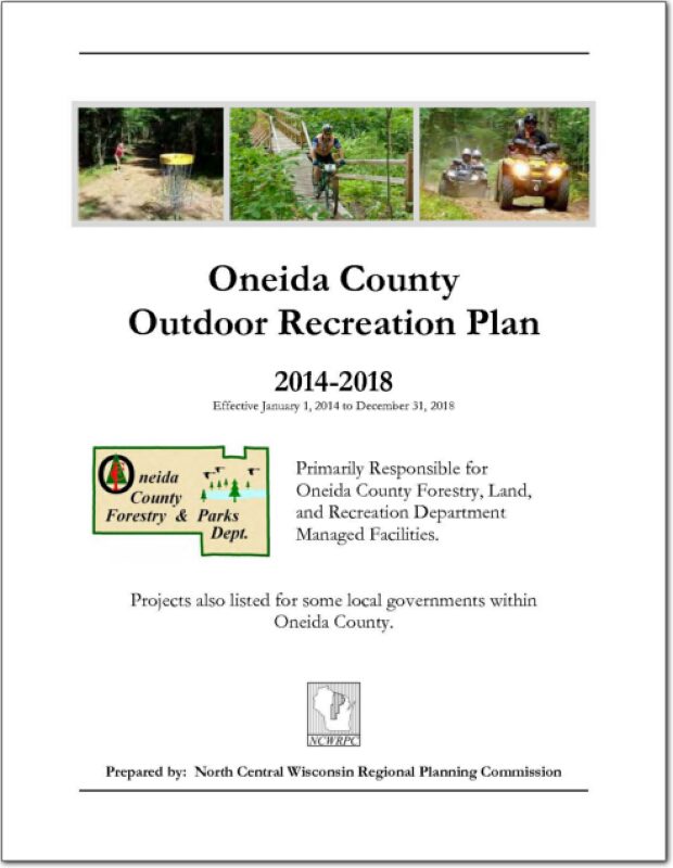
Oneida County Outdoor Recreation Plan 2014-2018
Outdoor Recreation Plan
The primary purpose of this recreation plan is to provide continued direction toward meeting the current and future recreation needs of the county. This is accomplished through an inventory and analysis of outdoor recreational facilities, and the establishment of recommendations to meet identified needs.
This Outdoor Recreation Plan (ORP) was prepared pursuant to Wisconsin Statute §23.30 Outdoor Recreation Program. This section serves “to promote, encourage, coordinate, and implement a comprehensive long-range plan to acquire, maintain, and develop for public use, those areas of the state best adapted to the development of a comprehensive system of state and local outdoor recreation facilities and services…”
Town of Lake Tomahawk, Road Surface Management Plan – 2014
A road surface management plan for a local road network provides a town with the ability to plan for future road surface improvements. With a road surface management plan in place, the limited resources allocated to local roads can be better spent. The overall goal of the Road Surface Management Plan is to help the town make better decisions on the improvements to the local road system. This document contains information vital to the review and rating of the Town of Lake Tomahawk’s roadway system. Thus, the Road Surface Management Plan will assist in preserving and rehabilitating the existing town road system in a timely and cost-effective manner.
.
Northwoods NiiJii Enterprise Community, Inc. Comprehensive Strategic Plan – 2014
The Niijii Community is defined by the people who live and work there; the houses and businesses; the parks and cultural features. There are three tribes affiliated with the NiiJii Enterprise Community; they are the Lac du Flambeau Band of Lake Superior Chippewa, the Menominee Indian Tribe of Wisconsin and Sokaogon Chippewa Community (aka Mole Lake Band of Lake Superior Chippewa Indians), see MAP 1. The comprehensive plan provides guidance to the NiiJii Enterprise Community when making future decisions on key community elements. How a community changes, how that change is perceived and how change is managed are the subjects of community comprehensive planning. The plan will provide goals, objectives and policies to successfully grow and advance the communities in five key elements: Population and Housing; Economic Development; Utilities and Transportation; Agriculture, Natural Resources and Cultural; and Land Use. Goals and objectives include key livability principles ensuring future growth that accommodates community member’s needs and desires ultimately working towards a better more sustainable life for the NiiJii Enterprise Community.
Town of Cassian Traffic Count Report – 2013
The Town of Cassian requested traffic counting services from the North Central Wisconsin Regional Planning Commission for three locations within the Town.
Oneida County Comprehensive Plan 2013
This is the first of nine elements that comprise the Oneida County Comprehensive Plan. The plan provides detailed information on the county and also includes all twenty towns and the City of Rhinelander. Oneida County is located in northeastern Wisconsin and is bounded on the north by Vilas County, on the east by Forest County, on the south by Lincoln and Langlade counties, and on the west by Price County. The county is a predominantly rural area with a large proportion of its land in forests, wetlands, and agriculture. Residents and visitors from both near and far utilize its more than 1,100 lakes and expansive natural areas for recreational purposes. The City of Rhinelander is the county seat and largest community in the county with a population of about 8,200. See the planning context map.
Forest, Oneida, Vilas County Locally Developed, Coordinated Public Transit-Human Service Transportation Plan 2014-2018
Federal transit law requires that any projects selected for funding under the Section 5310 Enhanced Mobility of Seniors and Individuals with Disabilities (formerly titled Elderly and Disabled Capital Assistance Program) must be derived from a “locally developed, coordinated public transit-human services transportation plan”. This requirement was implemented as part of the SAFETEA-LU legislation and the requirement continues under the new transportation legislation, MAP-21 (Moving Ahead for Progress in the 21st Century). The purpose of the coordinated planning process is to have stakeholder involvement in the assessment of elderly and disabled transportation, and to provide strategies and goals to improve those transportation alternatives. These coordinated plans were last completed in 2008 and are due to be updated in 2013.
Rhinelander Safe Routes to School Plan – 2012-2017
The City of Rhinelander and the School District of Rhinelander created a Safe Routes To School Task Force to apply for a planning grant. All of the public elementary schools in the City, the middle school, the police, city administration, and local citizens were all part of the Task Force. The approved planning grant paid 100% of NCWRPC’s planning services to assist with creating a Safe Routes To School plan.
Oneida County Land and Water Resource Management 2012-2016
The Oneida County Land and Water Resource Management (LWRM) plan was developed to assist the county’s citizens and natural resource agencies with managing and protecting the land and water resources throughout Oneida County.
The goals and objectives in this plan will help resolve local natural resource problems as identified by the Citizens Advisory Committee (CAC). These goals and objectives will also provide the basis for various local, state, and federal agencies to coordinate implementation of their programs of land and water management.