Portage County Outdoor Recreation Plan 2025-2029

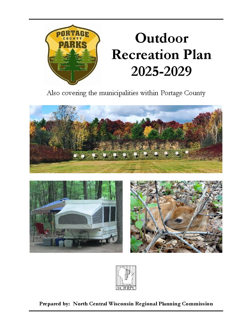
Portage County’s Parks Department updates its Outdoor Recreation Plan every 5 years to identify essential outdoor recreation needs that affect the future of outdoor recreation in the County.

This Outdoor Recreation Plan (ORP) focuses upon County managed outdoor recreation facilities, and also list projects within the towns and villages. The City of Stevens Point and Village of Plover both have ORPs which will both be referenced in this plan. All listed nature based and active recreation based projects become eligible for competitive federal and state outdoor recreation grant money when this plan is adopted by County or local municipality by resolution.

All communities that want to use this plan to apply for grants, must adopt it by resolution.

Non-profit groups, foundations, and the general public may also use this document to coordinate their own private efforts for developing outdoor recreation facilities.
2024 Planning Timeline

Winter/Spring 2024 – Staff park analysis, plans reviewed, & demographic data analysis.

Spring 2024 – Survey received 182 responses. See Summary Results HERE (21 pages).
See Detailed Results HERE (127 pages).

Summer 2024 – Goals & Objectives developed.

Fall 2024 – Draft Plan ready for review.

Winter 2024/2025 – Plan ready for approval by Park Commission and adoption by County Board.

Plan Maps

Map 1 – Outdoor Recreation
Map 2 – County Administered Outdoor Recreation
Map 3 – Legacy Places and Potential Trails
Map 4 – Urban Area Outdoor Recreation
Map 5 – Town Parks and School Forests
Map 6 – Nelsonville, Amherst Junction, & Amherst Outdoor Recreation
Map 7 – Almond Outdoor Recreation
Map 8 – Junction City Outdoor Recreation
Map 9 – Rosholt Outdoor Recreation

Plan Attachments

Attachment A – Park Design and Location Criteria
Attachment B – Facility Development Standards
Attachment C – State & Federal Financial Assistance Programs
Attachment D – SCORP Western Sands Region Analysis
Attachment E – Green Circle State Trail Map
Attachment F – Tomorrow River State Trail Map (Portage County section)
Attachment G – County Bike Plan Maps
Attachment H – Bicycle Campground Guide
Attachment I – Bicycle Campground Signage
Attachment J – Forest Legacy Areas 2024 Portage County

Portage County Outdoor Recreation Plan
placeholder for: DRAFT 2025-2029 Plan (Not available yet.)

Portage County Broadband Plan

The broadband strategy presented at narrowing the digital divide in Portage County by enhancing broadband connectivity and accessibility. Additionally, this strategy will pinpoint obstacles and objectives related to expanding infrastructure and promoting broadband adoption. Consequently, Portage County will be in a stronger position to seek and, hopefully, secure BEAD funding for broadband deployment.

Portage County Economic Profile 2024

Every few years, NCWRPC updates basic demographic and economic development information in the form of County Profiles, which provide a snapshot of current economic trends and opportunities for economic growth. Included is a map of business park locations where acreage is available as well as contacts for various economic development agencies and programs.

Stevens Point Urban Area Sewer Service Area Plan 2040 Update

This report is intended to update and replace the previous, Urban Area Sewer Service Plan for the City of Stevens Point and surrounding urban area. These types of plans are also known as areawide water quality management plans.

The general purpose of this areawide water quality management plan, herein referred to as Sewer Service Area Plan, is to maintain a twenty-year sanitary sewer service boundary for the Stevens Point Urban Area and an institutional structure for implementing the Plan and managing the extension of sanitary sewage services within this urban area. The urban sanitary sewer service area boundary identifies the geographic land area within which sanitary sewer service could be made available by the year 2040 in a cost effective, environmentally acceptable manner.

Portage County Economic Profile 2022

Every few years, NCWRPC updates basic demographic and economic development information in the form of County Profiles, which provide a snapshot of current economic trends and opportunities for economic growth. Included is a map of business park locations where acreage is available as well as contacts for various economic development agencies and programs.

Wisconsin Regional Orthoimagery Consortium (WROC)

The Wisconsin Regional Orthoimagery Consortium (WROC) is a multi-entity group. The goal of the consortium is to build and sustain a multi-participant program to acquire digital orthoimagery and elevation data throughout Wisconsin. The WROC approach brings a number of potential benefits to participants including cost savings, specifications and standards support, customized datasets, data sharing between members and partners, and procurement support.

Next round

The next round of WROC is underway. North Central Wisconsin Regional Planning Commission (NCWRPC) will once again coordinate and lead the Consortium. In 2021, the RPC extended its agreement with Ayres Associates to facilitate the Consortium and provide geospatial services to its members and partners.

There will be options for participation in 2023, 2024, and 2025. A number of member counties will be going to a 3-year cycle starting in 2023. Another group of counties will fly in 2024.The largest group will participate again in 2025, keeping the consistency of the 5-year cycle. Member counties flying in 2023, 2024, and 2025 will be eligible for partner funding.

The aerial mapping services provided under WROC will continue to evolve to meet the needs of local government members and partner organizations. This will be achieved through a coordinated, county-by-county approach over the next three years, with participation peaking in 2025. Program representatives will work with all private, federal, and state partners to build the program into regional datasets. WROC has a stated goal of achieving statewide coverage by the end of 2025.

WROC representatives will be hosting meetings across the state to discuss the consortium approach and participation options for 2023-25. If you are interested in meeting, please contact program managers Andy Faust or Zach Nienow

Portage County

Portage County is a county located in central Wisconsin. As of the 2020 census, the population was 70,377. The county seat is Stevens Point. Portage County was created in 1839 and is named after the Fox-Wisconsin Waterway, a historic portage route used by Native Americans and European settlers. The county is known for its many lakes, rivers, and outdoor recreational opportunities, including the Tomorrow River State Trail, the Wisconsin River and the Ice Age Trail. The county is home to the city of Stevens Point, which is the county’s largest city and the regional center for commerce, industry, healthcare, and education. The county also has several small towns and communities, including Plover, Rosholt, and Amherst. The county has a diverse economy, with healthcare, manufacturing, and service industries being the main drivers.

TitleDate
Portage County Outdoor Recreation Plan 2025-2029October 7, 2024
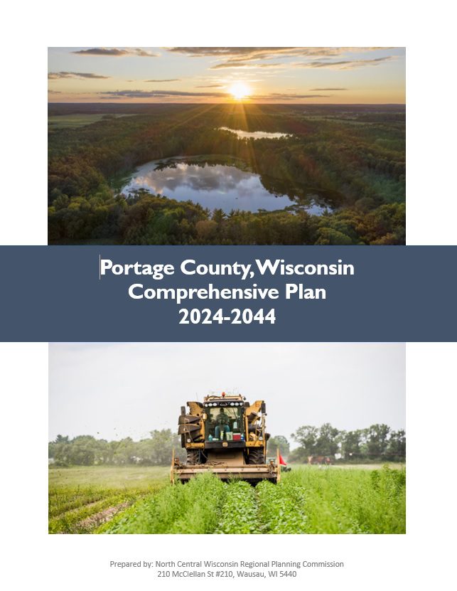
Portage County Comprehensive Plan 2024August 14, 2024
EMSI Reports – Economy OverviewJuly 17, 2024
Portage County Broadband PlanFebruary 27, 2024
Portage County Economic Profile 2024January 22, 2024
Stevens Point Urban Area Sewer Service Area Plan 2040 UpdateJuly 13, 2023
Portage County Economic Profile 2022January 1, 2022
Portage County Locally Developed, Coordinated Public Transit-Human Service Transportation Plan 2019-2023August 31, 2018
Portage County Locally Developed, Coordinated Public Transit-Human Service Transportation Plan 2014-2018July 11, 2013
Almond-Bancroft Safe Routes to School Plan 2012-2017April 1, 2012

NEWCOM

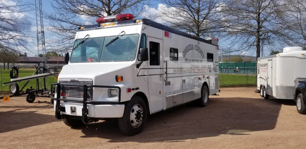
The counties of northeastern Wisconsin have a long history of working cooperatively to address the public safety needs of the area. This latest effort, called the North East Wisconsin Public Safety COMmunications or NEWCOM, will create a group that will identify the communication needs for the area, so the 500 plus law enforcement and public safety organizations can communicate effectively throughout the Region.

The group formed under Intergovernmental Agreement §66.0301, Wis. Stats in 2006

Meetings 2024
February 1st
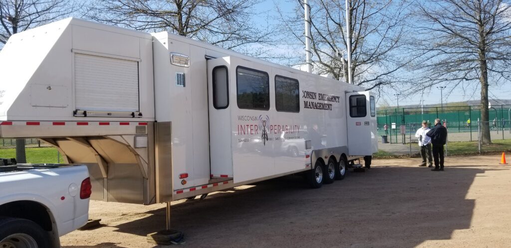
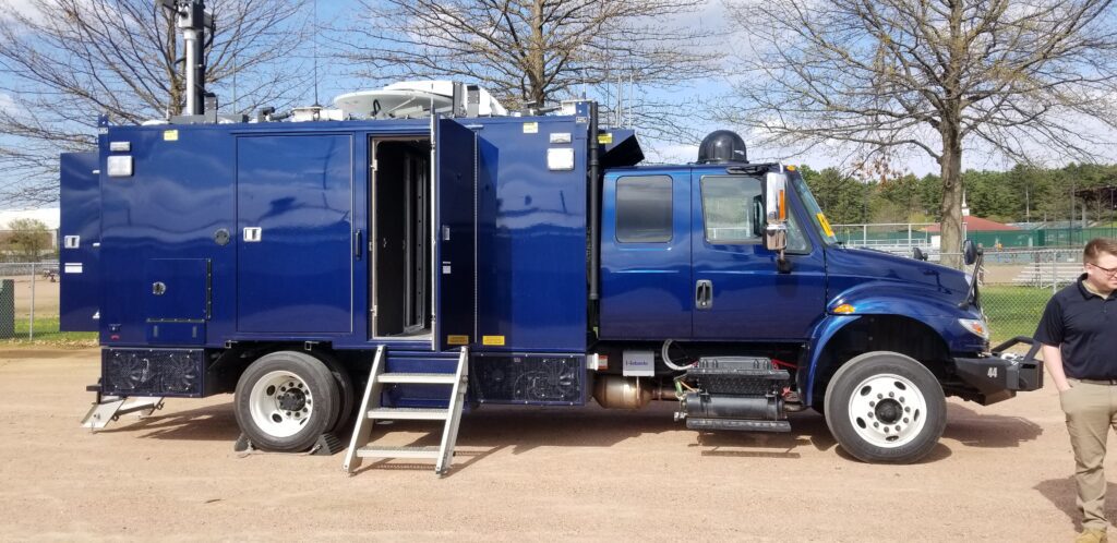
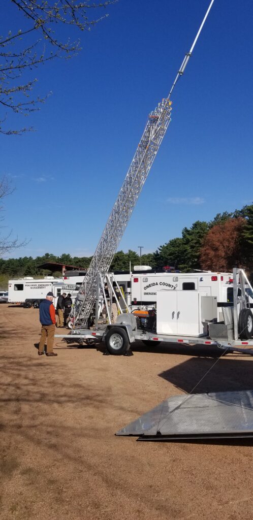
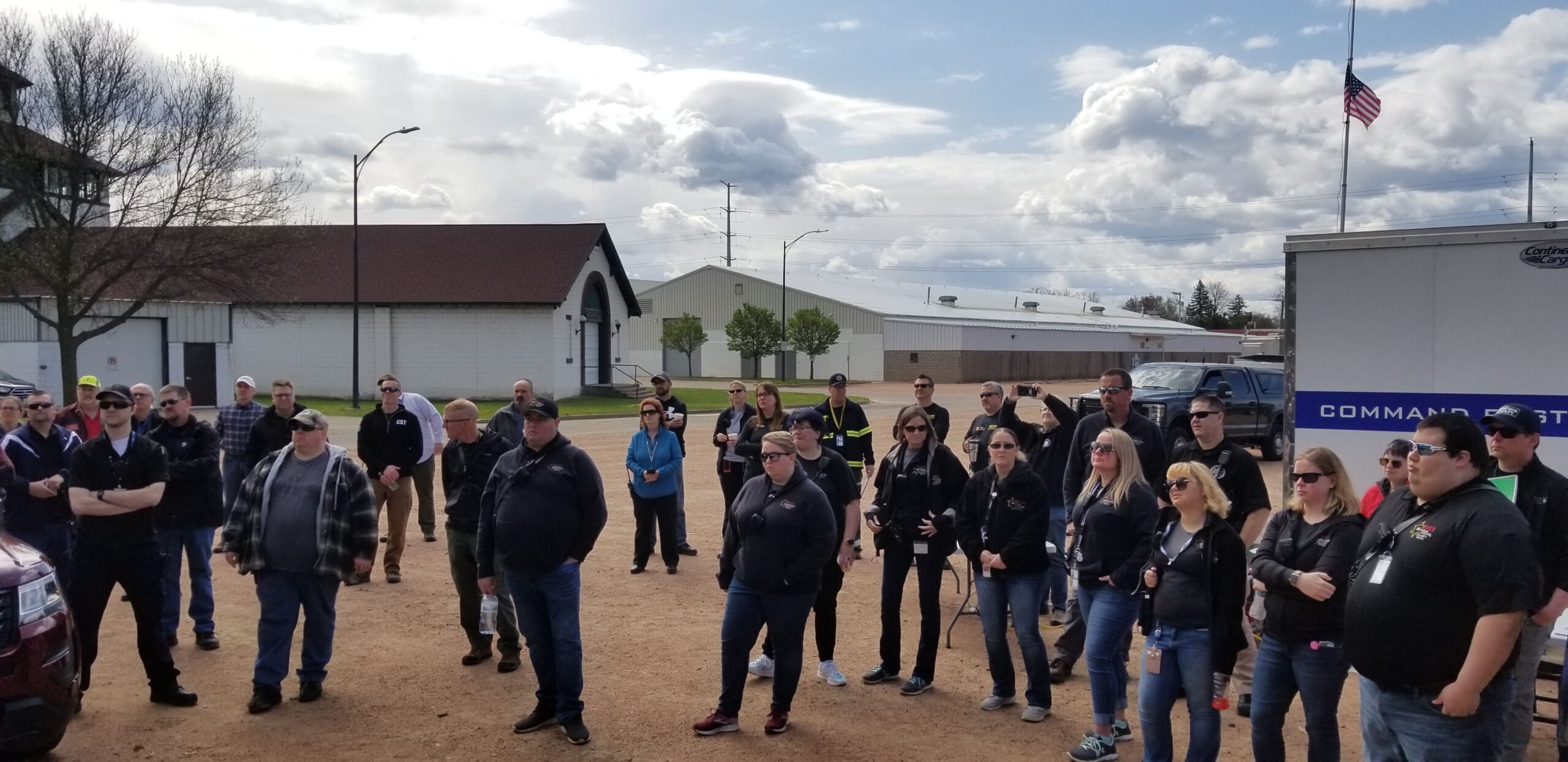
May 23rd – Merrill – NEWCOM Mobile Communication Event
August 1st
November 7th

Meetings 2025
February 6th
May 1st
August 7th
November 6th

Sherri CongletonVilas CountyChair
Ryan BerdalMarathon CountyVice-Chair
Rozanne KahanPrice CountySecretary- Treasurer
Andy FaustNCWRPCNEWCOM Contact