Vilas County Land and Water Resource Management, 2025

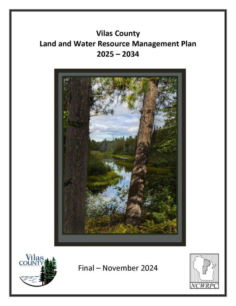
The Vilas County Land and Water Resource Management (LWRM) Plan is a 10-year plan (2025-2034) that provides an assessment of county water quality and soil erosion conditions, identifies local conservation priorities, and establishes conservation goals in a Work Plan.

Adopted LWRM plans ensure county eligibility for grant funding of county conservation staff and cost sharing for conservation practices.

PUBLIC HEARING NOTICE

November 14, 2024
9:00 am
Conference Room #B of the Vilas County Courthouse, 330 Court Street, Eagle River, Wisconsin, 54521

2024 LWRM Plan Update Process

Winter 2023 – County Land & Water Conservation Committee appoints Resource Advisory Committee.

January 2024 & September 2024 – 2 meetings for Resource Advisory Committee to assist with determining resource management direction for next 10-years.

Fall 2024 – Draft LWRM Plan assembled & reviewed by DATCP.

Fall 2024 – Draft LWRM Plan is reviewed by County Land & Water Conservation Committee for public hearing.

Fall 2024 – Draft LWRM Plan is open for public review and comment.

November 14, 2024 – Public Hearing.

Fall 2024 – Draft LWRM Plan is reviewed by Land & Water Board in Madison for approval.

Winter 2024 – LWRM Plan is adopted by County Board.

2025-2034 Plan Maps

Map 1 – Land Use
Map 2 – Land Management
Map 3 – General Soils
Map 4 – Groundwater Contamination Susceptibility
Map 5 – Soil Erosion Vulnerability
Map 6 – Basins & Watersheds
Map 7 – Designated Waters
Map 8 – Phosphorus Trends
Map 9 – Priority AIS

2025-2034 Plan Appendices

Appendix A – Public Hearing Notice
Appendix B – Nutrient Management Conservation Practice Standard
Appendix C – NR151 Performance Standards and Prohibitions Fact Sheets
Appendix D – Conservation Cost Share Program Policy – Tier Level Practices
Appendix E – Wetland Plants of Concern
Appendix F – Healthy Watersheds, High Quality Waters Maps & Tables
Appendix G – Wetland Natural Communities Table
Appendix H – Impaired Waters List – 303(d)
Appendix I – Soil Organic Carbon Maps
Appendix J – Soil Erosion Control Waiver & Resolution
Appendix K – List of Conservation Practices

DRAFT – 2025-2034 Vilas County Land & Water Resource Management Plan (5 MB)
Plan without maps or appendices. Download those above.

DRAFT with Maps & Appendices – 2025-2034 Vilas County Land & Water Resource Management Plan (40 MB)
All maps and appendices are included.

************

The current 2015-2024 LWRM Plan is available HERE.

Vilas County All Hazards Mitigation Plan Update 2024

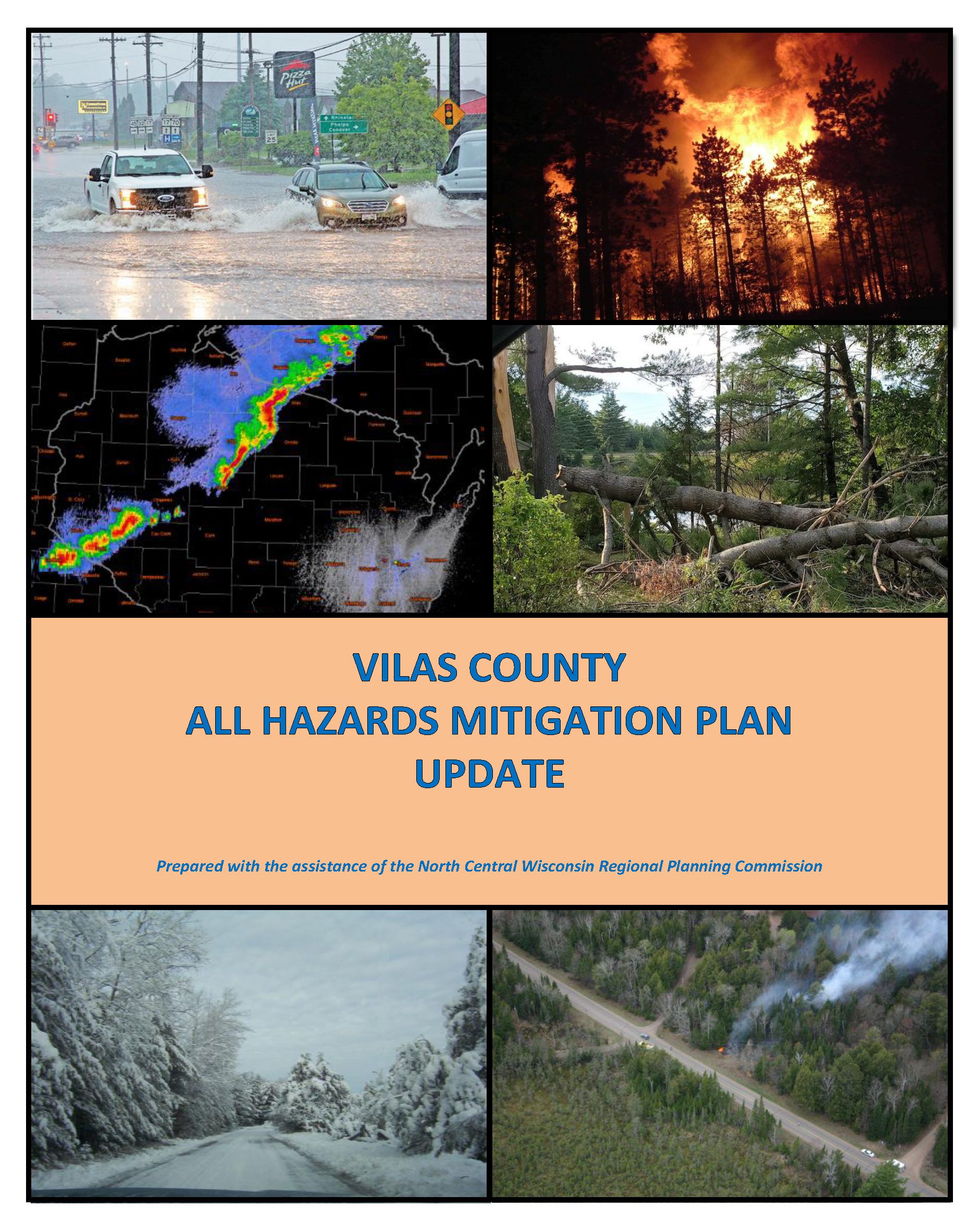
The federal Disaster Mitigation Act of 2000 mandates that mitigation plans be accomplished for all incorporated units of government as well as Native American tribes and updated on a five-year cycle. Although Vilas County collaborated with the Lac du Flambeau Tribe on the development of a joint hazard mitigation plan in 2008, its 2013 plan is considered the County’s initial All Hazards Mitigation Plan (AHMP) by FEMA. This is the second update to the plan. The next subsequent update will be due in 2029. An approved mitigation plan is required for a jurisdiction to be eligible for certain federal mitigation funding following a disaster. In addition, if a major disaster strikes a jurisdiction without a current plan, FEMA will require the jurisdiction to complete a plan.

Vilas County Economic Profile 2024

Every few years, NCWRPC updates basic demographic and economic development information in the form of County Profiles, which provide a snapshot of current economic trends and opportunities for economic growth. Included is a map of business park locations where acreage is available as well as contacts for various economic development agencies and programs.

Vilas County Comprehensive Plan 2023

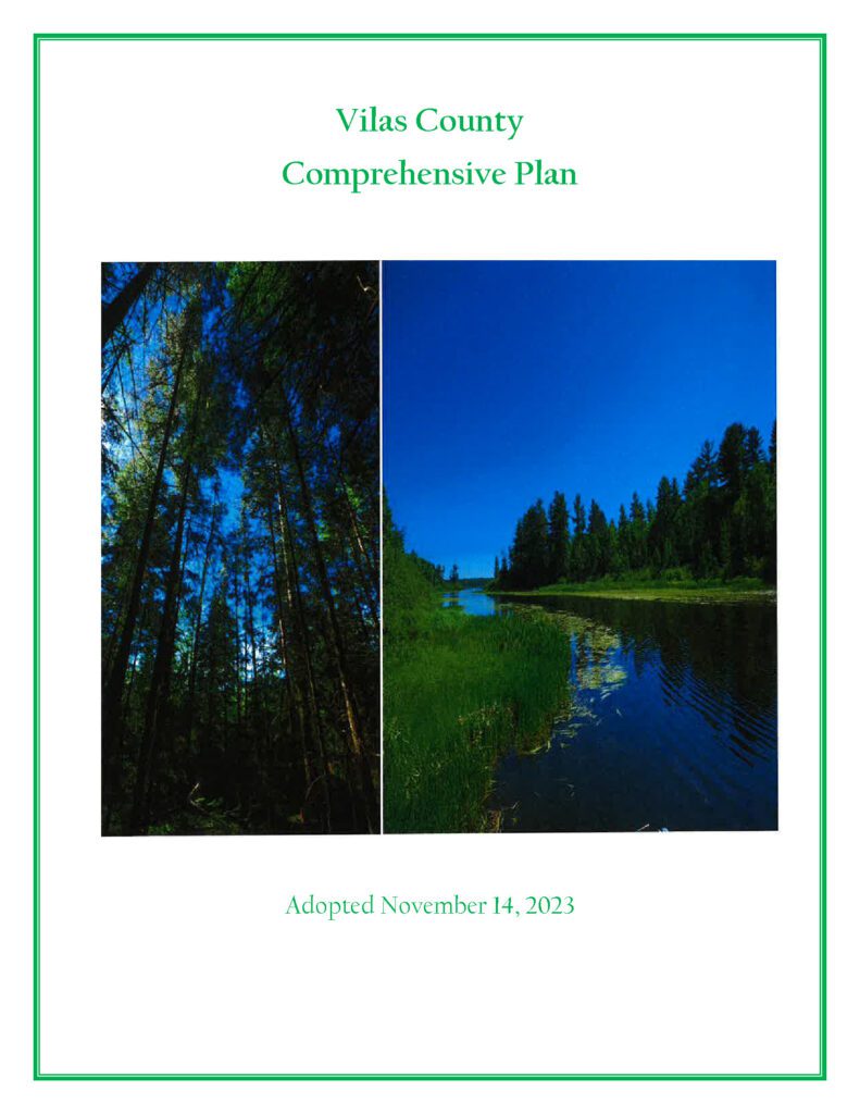
A comprehensive plan is a local government’s guide to community physical, social, and economic development. Comprehensive plans are not meant to serve as land use regulations in themselves; instead, they provide a rational basis for local land use decisions with a twenty-year horizon for future planning and community decisions.

Town of Plum Lake Comprehensive Plan 2023

A comprehensive plan is a local government’s guide to community physical, social, and
economic development. Comprehensive plans are not meant to serve as land use
regulations in themselves; instead, they provide a rational basis for local land use
decisions with a twenty-year horizon for future planning and community decisions.

Image of 2023 Town of Plum Lane Comprehensive Plan cover

Vilas County Outdoor Recreation Plan 2023-2027

The primary purpose of this recreation plan is to provide continued direction toward meeting the current and future recreation needs of the county. This is accomplished through an inventory and analysis of outdoor recreational facilities, and the establishment of recommendations to meet identified needs.

This Outdoor Recreation Plan (ORP) was prepared pursuant to Wisconsin Statute §23.30 Outdoor Recreation Program.  This section serves “to promote, encourage, coordinate, and implement a comprehensive long-range plan to acquire, maintain, and develop for public use, those areas of the state best adapted to the development of a comprehensive system of state and local outdoor recreation facilities and services…”

Town of Conover Comprehensive Plan 2022

A primary reason for a community to prepare a comprehensive plan is to establish a framework for the future, especially as it relates to decisions regarding growth and regulation of development to protect and maintain the health, safety and welfare of the community. A plan also helps to set priorities for public expenditures.

Vilas County Economic Profile 2022

Every few years, NCWRPC updates basic demographic and economic development information in the form of County Profiles, which provide a snapshot of current economic trends and opportunities for economic growth. Included is a map of business park locations where acreage is available as well as contacts for various economic development agencies and programs.

Grow North Region Housing Study – 2021

Housing is a crucial component of livability and is critical for regional and local prosperity. Communities that can offer a variety of housing types that are affordable across a wide spectrum of income levels are significantly more capable of providing the conditions necessary to attract and retain residents of all life phases. Housing impacts more than just residents, as housing also impacts transportation, employment, economic development, land use patterns, and communities themselves. The connection between housing and work is a fundamental function of any transportation system, as many workers are required to travel to their jobs. This relationship between housing, employment, and transportation guides land use decisions, and fosters economic development and a sense of community within communities and the
Region.