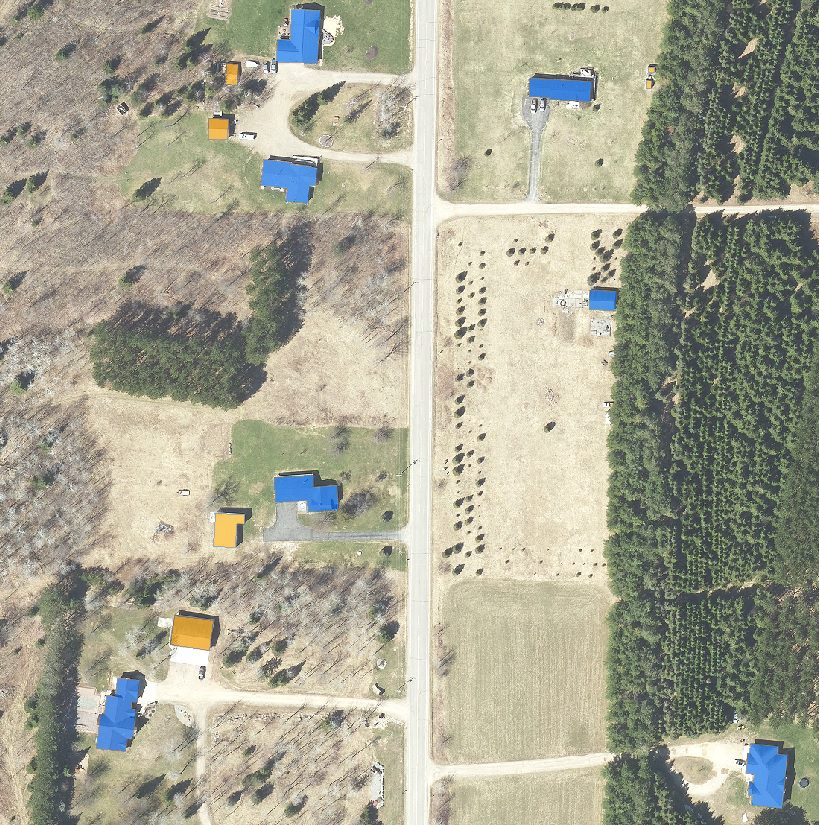
Delineation of building outlines from orthoimagery. Map all buildings from 2020 imagery to be used in county 911 system. Projected project completion June 2022.

North Central Wisconsin Regional Planning Commission
Providing Economic Development, Geographic Information Systems, Intergovernmental Cooperation, Land Use Planning and Transportation Assistance since 1973
Delineation of building outlines from orthoimagery. Map all buildings from 2020 imagery to be used in county 911 system. Projected project completion June 2022.
