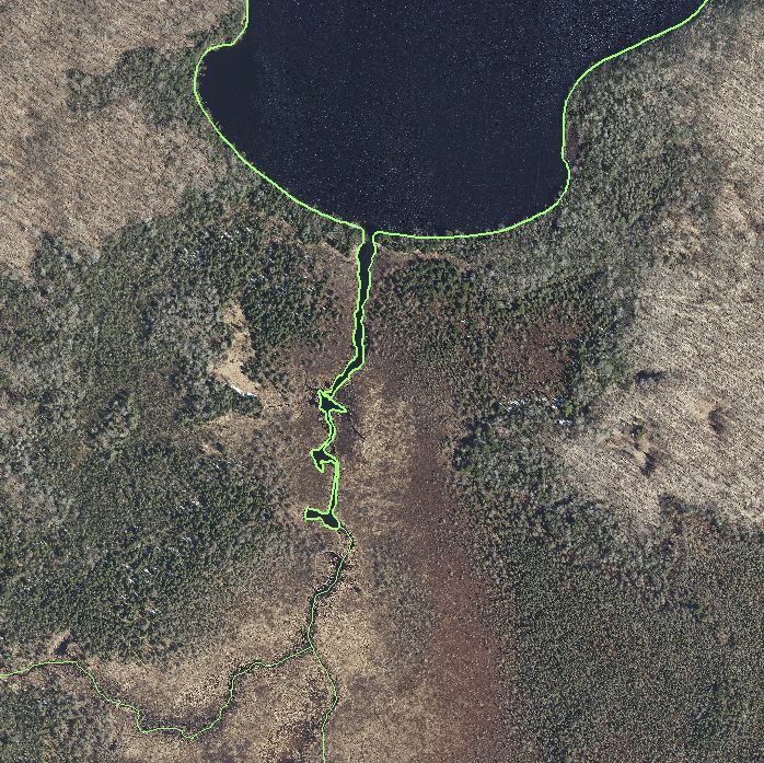
Enhance the Forest County GIS hydrology layer through the utilization of LiDAR and imagery data by the GIS team, ensuring the accurate update of stream and water body delineations. Anticipated project completion by June 2022.

North Central Wisconsin Regional Planning Commission
Providing Economic Development, Geographic Information Systems, Intergovernmental Cooperation, Land Use Planning and Transportation Assistance since 1973
Enhance the Forest County GIS hydrology layer through the utilization of LiDAR and imagery data by the GIS team, ensuring the accurate update of stream and water body delineations. Anticipated project completion by June 2022.
