The purpose of a Comprehensive Plan is to guide future growth and development in the Town over the next 10 to 20 years. A comprehensive plan provides the vision and direction for natural resource protection, housing and economic development, transportation and community facilities, land use, intergovernmental relations, and other factors that together form the community’s future. Comprehensive planning was enacted to encourage long-range planning for communities and provide consistency in land use decision making. The Comprehensive Plan is a guide that elected officials, residents, and business owners can use for directing growth and redevelopment in the community. The Comprehensive Plan is a long-range policy document consisting of goals, objectives, and policies prepared to meet the State’s definition of a comprehensive plan as defined under Section 66.1001.
Adams County Economic Profile 2022
Every few years, NCWRPC updates basic demographic and economic development information in the form of County Profiles, which provide a snapshot of current economic trends and opportunities for economic growth. Included is a map of business park locations where acreage is available as well as contacts for various economic development agencies and programs.
Rick Pease
Adams County
Rocky Gilner
Adams County
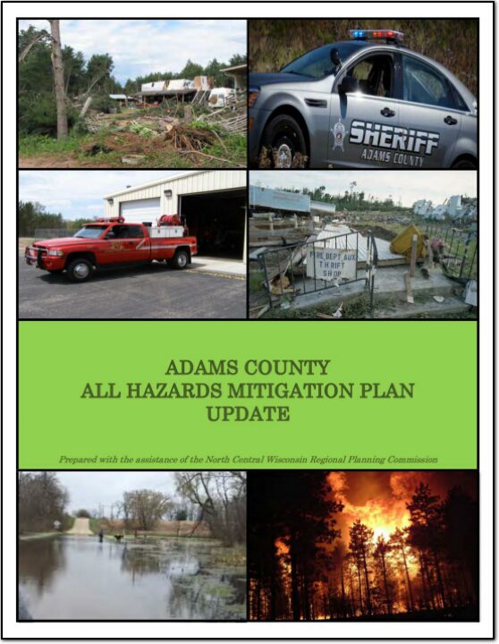
Adams County All Hazards Mitigation Plan Update 2020
Adams County All Hazards Mitigation Plan (AHMP) Update describes and documents the process used to develop the plan update. This includes how it was prepared and who (committee, organizations, departments, staff, consultants, etc.) was involved in the update process. It also describes the local government involvement, the time period in which the update was prepared, and who to contact to answer questions and make recommendations for future amendments to the plan.
Adams County Strategic Plan
Strategic planning is an organizational management activity that is used to set priorities, focus energy and resources, strengthen operations, ensure that everyone is working toward common goals and general agreement action items. It is a disciplined effort that produces fundamental decisions and actions that shape and guide what an organization is, who it serves, what it does, and why it does it, with a focus on the future.
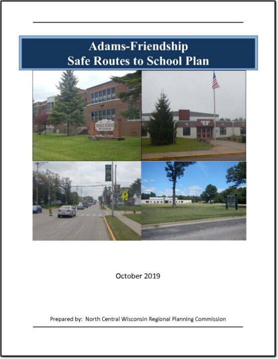
Adams-Friendship Safe Routes to School Plan
This plan was developed by NCWRPC in conjunction with the Nekoosa School District, City oThis plan was developed by NCWRPC in conjunction with the Adams-Friendship Area School District, City of Adams, Village of Friendship, and the Adams-Friendship Area SRTS Task Force as part of the North Central Wisconsin Regional Safe Routes to School Program. This Regional program was made possible in part by a Transportation Alternatives Program grant from the Wisconsin Department of Transportation. Additional funding provided by the NCWRPC.
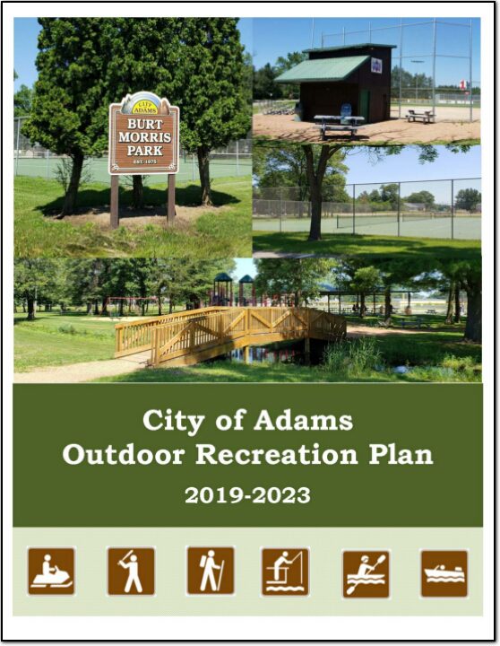
City of Adams Outdoor Recreation Plan 2019-2023
The primary purpose of this outdoor recreation plan is to provide continued direction toward meeting the current and future recreation needs of the City of Adams.
This Outdoor Recreation Plan (ORP) was prepared pursuant to Wisconsin Statute §23.30 Outdoor Recreation Program. This section serves “to promote, encourage, coordinate, and implement a comprehensive long-range plan to acquire, maintain, and develop for public use, those areas of the state best adapted to the development of a comprehensive system of state and local outdoor recreation facilities and services…”
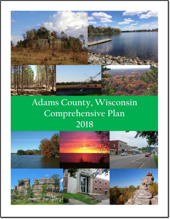
Adams County Comprehensive Plan 2018
The purpose of a Comprehensive Plan is to guide future growth and development in the County over the next 10 to 20 years. A comprehensive plan provides the vision and direction for natural resource protection, housing and economic development, transportation and community facilities, land use, intergovernmental relations, and other factors that together form the community’s future. Comprehensive planning was enacted to encourage long-range planning for communities and provide consistency in land use decision making. The Comprehensive Plan is a guide that elected officials, residents, and business owners can use for directing growth and redevelopment in the community. The Comprehensive Plan is a long-range policy document consisting of goals, objectives, and policies prepared to meet the State’s definition of a comprehensive plan as defined under Section 66.1001.
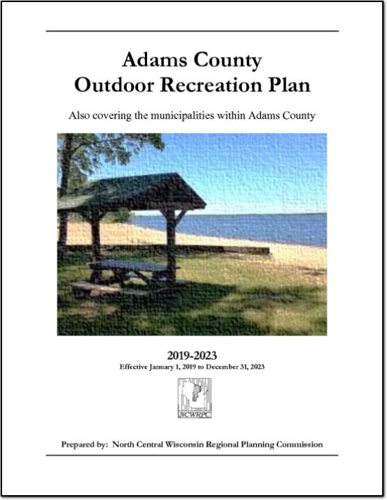
Adams County Outdoor Recreation Plan 2019-2023
Outdoor Recreation Plan
The primary purpose of this outdoor recreation plan is to provide continued direction toward meeting the current and future recreation needs of Adams County, Wisconsin
This Outdoor Recreation Plan (ORP) was prepared pursuant to Wisconsin Statute §23.30 Outdoor Recreation Program. This section serves “to promote, encourage, coordinate, and implement a comprehensive long-range plan to acquire, maintain, and develop for public use, those areas of the state best adapted to the development of a comprehensive system of state and local outdoor recreation facilities and services…”