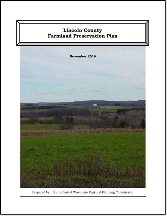
Lincoln County Farmland Preservation Plan 2016

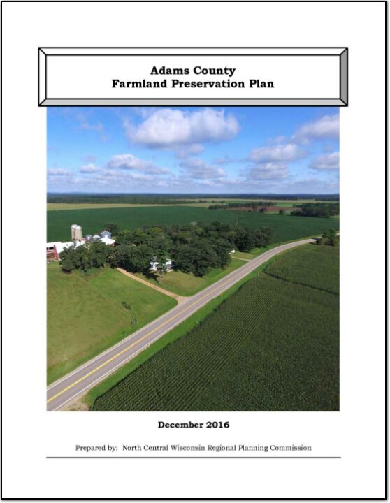
In 2010, agriculture constituted a $59 billion industry in Wisconsin. Farmland around the country is being lost at an alarming rate, and, once it is gone, we cannot get it back. Farmland preservation planning is crucial to preserve the agricultural land remaining in Wisconsin, because of the economic importance of agriculture in the State and the potential for loss of our agricultural land base.

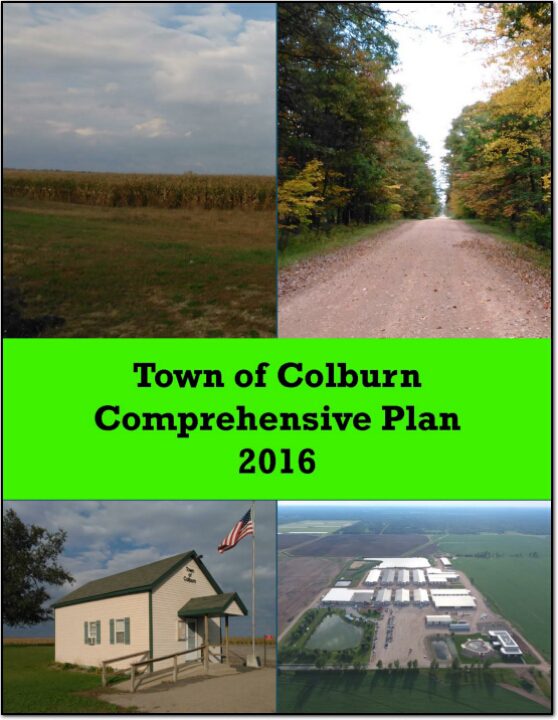
Town of Colburn Comprehensive Plan 2016

The Comprehensive Planning Process was overseen by the Plan Commission, who met several times with staff from North Central Wisconsin Regional Planning Commission to review the 2006 plan, analyze updated data, draft new goals, and develop a new Future Land Use map. This process took approximately nine months, culminating in the adoption of this Plan

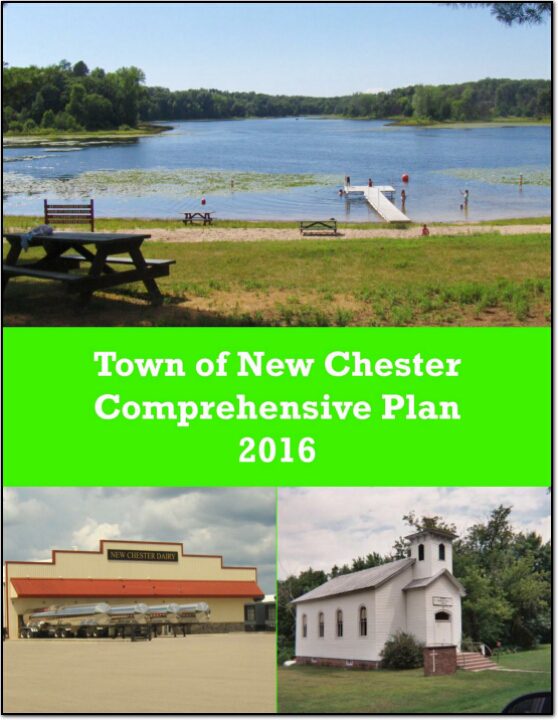
Town of New Chester Comprehensive Plan 2016

The Comprehensive Planning Process was overseen by the Plan Commission, who met several times with staff from North Central Wisconsin Regional Planning Commission to review the 2006 plan, analyze updated data, draft new goals, and develop a new Future Land Use map. This process took approximately nine months, culminating in the adoption of this Plan

Town of Rome Comprehensive Plan 2016

The Comprehensive Planning Process was overseen by the Plan Commission, who met several times with staff from North Central Wisconsin Regional Planning Commission to review the 2004 plan, analyze updated data, draft new goals, and develop a new Future Land Use map. This process took approximately nine months, culminating in the adoption of this Plan.

Adams County Land and Water Resource Management Plan 2010-2015

The Adams County Land and Water Resource Management (LWRM) plan was developed to assist the county in managing and protecting the land and water resources throughout Forest County.

The goals and objectives in this plan will help resolve local natural resource problems as identified by the Citizens Advisory Committee (CAC).  These goals and objectives will also provide the basis for various private, local, state, and federal agencies to coordinate implementation of their programs of land and water management.  Additional advice was received from the Adams County Land and Water Committee during the course of meetings and in the form of motions or suggestions for items and issues to include in the plan.  

Adams County All Hazards Mitigation Plan Update 2015

Adams County All Hazards Mitigation Plan (AHMP) Update describes and documents the process used to develop the plan update. This includes how it was prepared and who (committee, organizations, departments, staff, consultants, etc.) was involved in the update process.  It also describes the local government involvement, the time period in which the update was prepared, and who to contact to answer questions and make recommendations for future amendments to the plan.

Lincoln County Comprehensive Plan 2012-2021

The Lincoln County Planning & Zoning Department appreciates the involvement of various community stakeholders in the creation of new Transportation, Housing, Agricultural and Natural Resources, and Economic Development plans for the county. The names and organizations of those persons participating in the planning processes are included in the appropriate section of this comprehensive plan.

2014-2018 Locally Developed, Coordinated Public Transit – Human Services Transportation Plan

Federal transit law requires that any projects selected for funding under the Section 5310 Enhanced Mobility of Seniors and Individuals with Disabilities (formerly titled Elderly and Disabled Capital Assistance Program) must be derived from a “locally developed, coordinated public transit-human services transportation plan”. This requirement was implemented as part of the SAFETEA-LU legislation and the requirement continues under the new transportation legislation, MAP-21 (Moving Ahead for Progress in the 21st Century). The purpose of the coordinated planning process is to have stakeholder involvement in the assessment of elderly and disabled transportation, and to provide strategies and goals to improve those transportation alternatives. These coordinated plans were last completed in 2008 and are due to be updated in 2013.

Town of Big Flats Comprehensive Plan 2013

The Town of Big Flats is an eight-mile by six-mile town with 48 sections, located in thev north-central part of Adams County, Wisconsin. The Town of Rome to the north, the Town of Colburn to the east, the Town of Monroe to the west, and the Towns of Strongs Prairie and Preston to the south bound the town. It is one of the seventeen towns in the county. Over the years the town has been dominated by swampland conifers and lowland hardwood forest types, and some agricultural uses. Scattered residential development also has been locating in the town.