Providing Economic Development, Geographic Information Systems, Intergovernmental Cooperation, Land Use Planning and Transportation Assistance since 1973
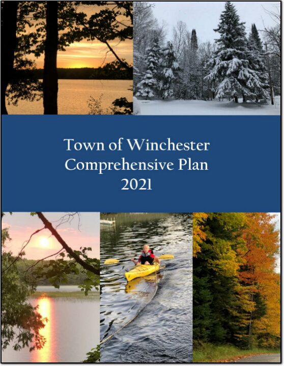
A primary reason for a community to prepare a comprehensive plan is to establish a framework for the future, especially as it relates to decisions regarding growth and regulation of development to protect and maintain the health, safety and welfare of the community. A plan also helps to set priorities for public expenditures.
NCWRPC continues to support Forest County with their land records modernization. General parcel maintenance, road centerline and address point updates for the county 911 system.
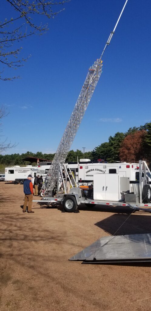
The counties of northeastern Wisconsin have a long history of working cooperatively to address the public safety needs of the area. This latest effort, called the North East Wisconsin Public Safety COMmunications or NEWCOM, will create a group that will identify the communication needs for the area, so the 500 plus law enforcement and public safety organizations can communicate effectively throughout the Region.
The group formed under Intergovernmental Agreement §66.0301, Wis. Stats in 2006
Meetings 2026 February 5th May 7th August 6th November 5th
The NCWRPC offers a wide range of mapping and graphic products to support communities and organizations. From aerial imagery to wetland and land use maps, we provide both standard and customized mapping solutions, including:
Parcel Mapping
Zoning Maps
Natural Features Maps
Address Maps
Land Use Mapping
We also assist communities with Land Records Modernization Plans, grant applications, and RFPs for GIS services. Custom data sets and map products can be created to meet specific community needs.
Regional Data Resources
NCWRPC maintains an extensive collection of regional data, available upon request. Our resources include:
U.S. Census Data (1980–2020)
Economic Census
Employment and Labor Statistics
Census Tract Maps
Planning Library Materials
Aerial Imagery
Wetland and Land Use Data
Historical Data and Maps
As a Wisconsin Data Center Affiliate Organization, we serve as a central resource for communities seeking regional planning and demographic data.
GIS Software & Technical Support
Our team is equipped with the latest GIS software, including:
ArcInfo
ArcMap
ArcGIS Pro
We also provide specialized services such as:
Database management
Survey analysis and design
Who We Serve
NCWRPC provides GIS and mapping services primarily to the ten counties and local governments within our region. These services are available to NCWRPC members and are also extended to other public and private sector agencies through contract arrangements.also extended to other public and private sector agencies through contract arrangements.
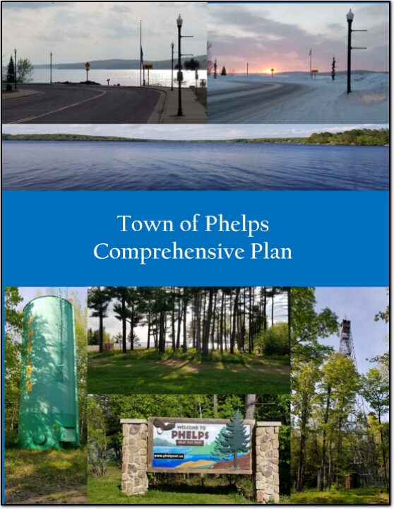
A primary reason for a community to prepare a comprehensive plan is to establish a framework for the future, especially as it relates to decisions regarding growth and regulation of development to protect and maintain the health, safety and welfare of the community. A plan also helps to set priorities for public expenditures.
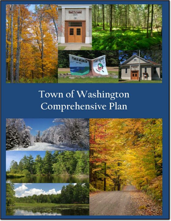
A primary reason for a community to prepare a comprehensive plan is to establish a framework for the future, especially as it relates to decisions regarding growth and regulation of development to protect and maintain the health, safety and welfare of the community. A plan also helps to set priorities for public expenditures.
A primary reason for a community to prepare a comprehensive plan is to establish a framework for the future, especially as it relates to decisions regarding growth and regulation of development to protect and maintain the health, safety and welfare of the community. A plan also helps to set priorities for public expenditures.
A primary reason for a community to prepare a comprehensive plan is to establish a framework for the future, especially as it relates to decisions regarding growth and regulation of development to protect and maintain the health, safety and welfare of the community. A plan also helps to set priorities for public expenditures.
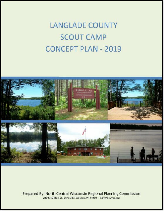
The 522-acre camp was closed in 2015 and became available. The County researched and evaluated acquiring the site for a variety of potential uses. They then applied for funding from the Department of Natural Resources through the Knowles-Nelson Stewardship Land Acquisition program to help fund the purchase. The acquisition of the 522-acre site cost a total of $1.35 million, with $730,000 being provided from the Knowles-Nelson Stewardship Land Acquisition Program. Map 2: Site Boundary displays the boundaries of the entire site.
The County plans to utilize the site as a campground and to open public access to the two lakes on the site. The Langlade County Forestry Department will also manage the site’s wooded areas for timber production. The campground will be developed in phases over time and will provide for tent, cabin, and RV camping. This concept plan was prepared to provide a general development plan for the site, and to provide some general recommendations for the site.
On December 15, 2017, Langlade County purchased the Robert S. Lyle Scout Reservation, which is located east of Elcho in the northeast section of the County, from the Three Harbors Boy Scout Council of Milwaukee, Racine and Kenosha counties. For a representation of where the camp is located within Wisconsin, see Map 1: Location. The facility operated as a Boy Scout Camp for over 50 years.
In the fall of 2014, the Village of Kronenwetter engaged the North Central Wisconsin Regional Planning Commission (NCWRPC) to evaluate development potential centered near I-39 and Maple Ridge Road. In 2013, the interchange located on Maple Ridge Road and I-39 was rebuilt by the Department of Transportation resulting in new infrastructure and development opportunities for the area.