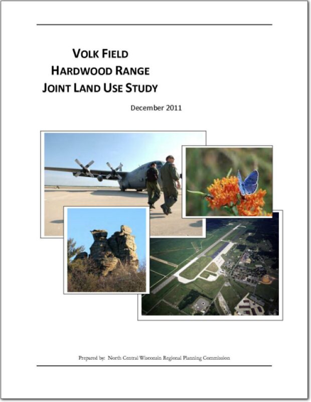
Volk Field Hardwood Range Joint Land Use Study – 2011
A Joint Land Use Study (JLUS) is a collaborative effort between the military, local government, business, property owners, and other stakeholders. Since it was first established as a Military Reservation by the State of Wisconsin in 1888, what is now known as Volk Field has played an important role in state history, the economy of Central Wisconsin, and national security. A grant was approved by the Department of Defense in order to develop a JLUS that would address current and potential future encroachment that may threaten the mission of the Base, and as a way of fostering communication between the military and the community.
NCWRPC News Winter 2011 – Issue 46
Forest County Potawatomi Comprehensive Plan – 2011
The Forest County Potawatomi community is a sovereign nation chartered by the Bureau of Indian Affairs, and is recognized federally as a Native American Tribal Nation and operates under a ratified constitution. The tribal lands are scattered within the Town of Lincoln in Forest County, Wisconsin. The Town of Lincoln the is a double township stacked atop each other, less the area taken up by the City of Crandon and two sections from the northeast and southwest corners. The Town lies in the southwest corner of Forest County, Wisconsin and surrounds the City of Crandon on three sides.
NCWRPC News Fall 2011 – Issue 45
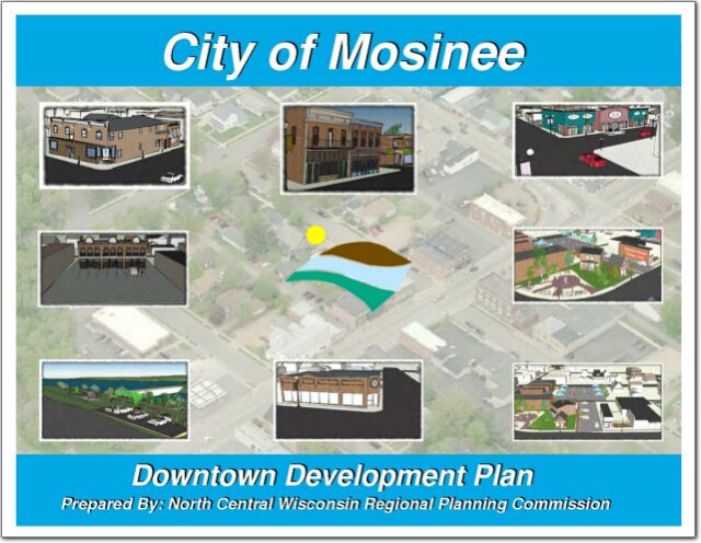
City of Mosinee Downtown Development Plan – 2011
Business growth in downtown Mosinee has been stagnant for many years. However, there has been recent activity as the result of a major transportation improvement project which included a new bridge and a roundabout. In addition, the Wisconsin Department of Transportation conducted a circulation study for Highway 153 through the downtown. That study and its recommendations helped spur more discussion about the downtown. As a result, community leaders identified the need to prepare a downtown development plan.
Community Economic Recovery Guidebook – 2011
This Guide is designed for Economic Development Organizations, Civic Leaders & Elected Officials and Chamber of commerce & Business Support Groups.
These core stakeholders are flanked by small business owners who could be affected by disaster and by emergency managers who provide preparedness and response leadership for the community. Coordination between them is essential for stabilization an preservation of the local economy after a natural disaster.
Annual Report 2011
We are pleased to provide you with the 2011 Annual Report of the North Central Wisconsin Regional Planning Commission (NCWRPC), which provides a summary of regional projects; local projects completed by county, and audited financial information. Also included is information for the North Central Wisconsin Development Corporation.
Wisconsin Shoreland Zoning Revision NR 115 Guidebook – 2011
Wisconsin County Code Administrators (WCCA) received a contract from the Wisconsin Department of Natural Resources (DNR) in 2010 to develop guidance for county zoning staff and county zoning committees for the implementation of the administrative rule NR 115 Wisconsin’s shoreland protection program. Through this guidebook WCCA intends to: 1) Provide its membership guidance on the model shoreland protection ordinance. 2) Attempt to explain NR 115 and make it clear where we feel there is ambiguity and address how counties can continue to provide greater protection for the resource. 3) Provide a menu of policy and procedure options for zoning staff to use in developing their revised county shoreland ordinances and in administering them.
Sokaogon Chippewa Community Comprehensive Plan – 2011
The Sokaogon Chippewa Community is a sovereign nation chartered by the Bureau of Indian Affairs, and is recognized federally as a Native American Tribal Nation and operates under a ratified constitution. The Sokaogon Chippewa Community tribal lands are located in the Town of Nashville in Forest County. The Town of Nashville is a double township offset from each other. The Mole Lake reservation is located in the northern section of Nashville, which occupies the southwest corner of Forest County, Wisconsin. The City of Crandon lies kitty-corner, north and east, of the Town.
