Providing Economic Development, Geographic Information Systems, Intergovernmental Cooperation, Land Use Planning and Transportation Assistance since 1973
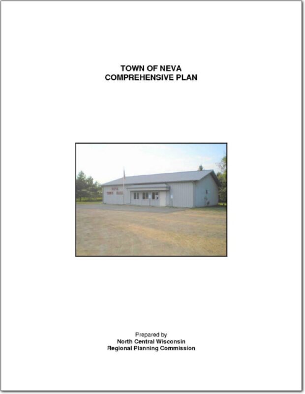
The Town of Neva is a standard 36-section township located in the central part of Langlade County, Wisconsin, north of the City of Antigo. It is bordered by Upham to the north, Price to the east, Peck to the west, and Antigo to the south. It is one of seventeen towns in the county.
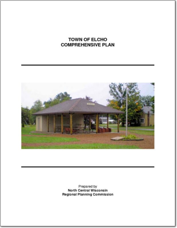
The Town of Elcho is a double township (72 total sections versus the standard 36) located in the northern part of Langlade County, Wisconsin about 15 minutes north of the City of Antigo. It is bordered by Enterprise and Schoepke in Oneida County to the north, Ainsworth to the east, Parrish to the west, and Upham to the south. It is one of seventeen towns in the county.
Langlade County is located in northeastern Wisconsin and is bounded on the north by Forest and Oneida counties, on the east by Oconto County, on the south by Marathon, Shawano, and Menominee counties, and on the west by Lincoln County. See the planning context map. The county is a predominantly rural area with a large proportion of its land in agriculture, wetlands, and forests. Residents and visitors from both near and far utilize its water and expansive natural areas for recreational purposes. The City of Antigo is the county seat and largest community in the county with a population of about 8,600.
The feasibility study was designed to determine how to revive Downtown Eagle River’s economy through the development of home-grown businesses. It focused on assessing the feasibility of a community small business incubator as a means of enhancing downtown revitalization efforts and promoting new business and job growth. The study examined the feasibility of providing business incubator services and physical space for the creative community including artists and fine artisans, and professional services and other small business entrepreneurs.
The Town of Cassian is a double township except for 4 sections in the northeast corner. The Town is located in the west central part of Oneida County, Wisconsin west of the City of Rhinelander. It is bordered by Hazelhurst and Lake Tomahawk to the north, Newbold to the east, Little Rice to the west, and Nokomis and Woodboro to the south. It is one of twenty towns in the county.
In 1999, the Governor signed into law Wisconsin Act 9, the Budget Bill, containing substantial revisions of existing planning related statutes and established the current comprehensive planning law (§66.1001 WI Stats.). Basically the law provides a definition of a plan, and should address demographic trends, natural resources, housing, transportation, economic development, and land use, among others. In addition, the law requires consistency between the local plan and local implementation tools of official mapping, subdivision ordinances and zoning ordinances; and requires public participation. Most important, is that it maintains that the process be locally driven so all local units of government decide their own future.
The Town of Plymouth Comprehensive Plan is intended to be the will-of-the-people in writing for land use planning. When the people’s desires in this community change, so too should this document. Local officials shall use this document to save time when making land use decisions. The Plan will also assist in development and management issues of public administration by addressing short-range and long-range concerns regarding development, and preservation of the community.
The Town of Nashville Comprehensive Plan of 2009 is a document that describes who we are as a community and public and private resources that are available to us in planning our future. The Plan gives us a comprehensive statistical profile of our community as of 2000 and makes a comparison of change since 1990 on a town, county and state level.
The Plan is a tool and not a description of end results or future planning goals. Citizens of the town and the Town Board and its Plan Commission can draw from the information in the Plan to shape the future development of the community and set realistic goals in planning decisions. What the town’s future will look like remains the determination of its citizenry. The Plan serves as a database and guide for this process.