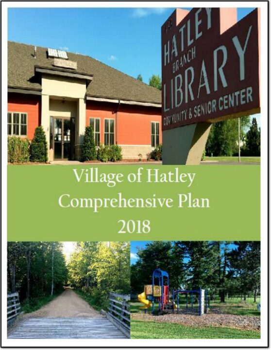
Village of Hatley Comprehensive Plan

The Village of Hatley Comprehensive Plan 2017 update documents existing conditions in the village as well as issues and concerns on a number of topics including future development, land use, transportation, housing, and economic development. Additionally this plan presents policies and actions to address those concerns and take future action. The 2017 update of this plan was guided by a Comprehensive Plan Steering Committee that consisted of five citizen members of the Village Plan Commission and two members of the Village Board. Public Input was sought at all stages of the planning process through public meetings and hosting the documents on the North Central Wisconsin Regional Planning Commission (NCWRPC) website. This plan is intended to guide village decision-makers on a variety of issues over the next twenty years.

Stettin Elementary Safe Routes to School Plan 2018

The City of Wausau and Town of Stettin both are aware of the safety issues of walkers, bicyclists, and school children using Stettin Drive from Brockmeyer Park northwest toward Stettin Elementary. After some communications with WisDOT, the City and the Town of Stettin brought on the Wausau School District to proceed with creating a SRTS plan for Stettin Elementary. Creating a SRTS plan provides a comprehensive review of the whole area to make walking and bicycling to school safer for children, while also improving community members’ overall quality of life since any new bike or pedestrian accommodations are open to all people at all times of the day.

Town of Adams Comprehensive Plan 2018

The purpose of a Comprehensive Plan is to guide future growth and development in the Town over the next 10 to 20 years. A comprehensive plan provides the vision and direction for natural resource protection, housing and economic development, transportation and community facilities, land use, intergovernmental relations, and other factors that together form the community’s future. Comprehensive planning was enacted to encourage long-range planning for communities and provide consistency in land use decision making. The Comprehensive Plan is a guide that elected officials, residents, and business owners can use for directing growth and redevelopment in the community. The Comprehensive Plan is a long-range policy document consisting of goals, objectives, and policies prepared to meet the State’s definition of a comprehensive plan as defined under Section 66.1001.

Town of Cassel Comprehensive Plan 2018

The Town of Cassel Comprehensive Plan documents existing conditions in the town, identifies primary issues or concerns the town may need to address in the future and includes goals and objectives to address those issues. It includes information on the town’s demographics, natural resources, land use, transportation, utilities, housing, cultural resources, community facilities, parks, economic development, and intergovernmental cooperation.

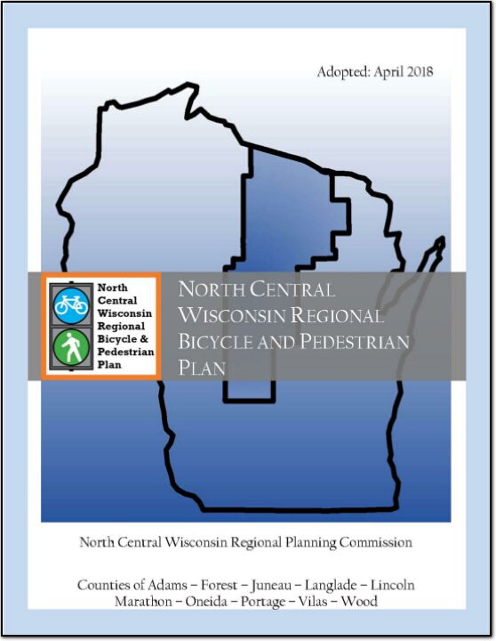
North Central Wisconsin Regional Bicycle and Pedestrian Plan

The North Central Wisconsin Regional Bicycle and Pedestrian Plan is one of the first steps to implementing the Regional Livability Plan. This plan will analyze bicycle and pedestrian transportation throughout the Region, and recommend policies, programs, and facilities to improve the safety, viability, convenience, and attractiveness of bicycling and walking for transportation.

This Regional Plan is intended to bridge the gap between the largely policy-based State plans and local community planning for bicycle and pedestrian networks. Many communities and counties within our Region have invested in bicycling and walking improvements, but these improvements often end at the boundary of the jurisdictions that planned them. This Regional Plan serves as a guide to help these communities and counties connect across their boundaries to form a complete Regional network of safe walking and bicycling.

Village of Friendship Comprehensive Plan 2018

The purpose of a Comprehensive Plan is to guide future growth and development in the village over the next 10 to 20 years. A comprehensive plan provides the vision and direction for natural resource protection, housing and economic development, transportation and community facilities, land use, intergovernmental relations, and other factors that together form the community’s future. Comprehensive planning was enacted to encourage long-range planning for communities and provide consistency in land use decision making. The Comprehensive Plan is a guide that elected officials, residents, and business owners can use for directing growth and redevelopment in the community. The Comprehensive Plan is a long-range policy document consisting of goals, objectives, and policies prepared to meet the State’s definition of a comprehensive plan as defined under Section 66.1001.

Juneau County Housing Study

Employers, employees, and municipalities have recently voiced concerns about the lack of adequate housing options in the county for the expanding workforce. As a result, the Juneau County Economic Development Corporation (JCEDC) formed a subcommittee on housing and the discussions revealed the need for more data and analysis on housing market issues for three subpopulations:

1) low-income households
2) workforce force households
3) senior households

Juneau County All Hazards Mitigation Plan Update 2018

Juneau County All Hazards Mitigation Plan (AHMP) Update describes and documents the process used to develop the plan update. This includes how it was prepared and who (committee, organizations, departments, staff, consultants, etc.) was involved in the update process.  It also describes the local government involvement, the time period in which the update was prepared, and who to contact to answer questions and make recommendations for future amendments to the plan.

Comprehensive Economic Development Strategy 2018 Annual Performance Report

An assessment of economic development activities of the North Central Wisconsin Regional Planning Commission over the last decade and the past year. The report’s seven sections describe the CEDS Committee, Past Year’s Activities, the Physical Region, Changes in the Region’s Population, changes in the Region’s Economy, a Regional Development Strategy, and an Economic Development Work Plan. Also included is a list of potential public works projects. This CEDS process maintains the Region’s eligibility as an Economic Development District (EDD) with the U.S. Economic Development Administration. The District consists of ten counties. These counties are Adams, Forest, Juneau, Langlade, Lincoln, Marathon, Oneida, Portage, Vilas, and Wood. However, Portage, and Wood Counties do not fully participate in the EDD – only some local communities with these two Counties participate.