Marathon County, Ice Age National Scenic Trail – 2014

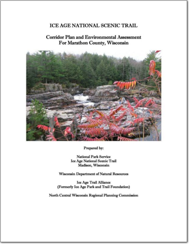
This document analyzes alternatives for locating and developing the Ice Age National Scenic Trail (NST) through southern Marathon County in Wisconsin and proposes implementation of the “Preferred” alternative.

On October 3, 1980, an amendment to the National Trails System (16 U.S.C. 1241 et seq.) authorized establishment of the Ice Age Trail as a National Scenic Trail (NST). To date, Congress has authorized the establishment of eleven NSTs—“extended trails so located as to provide for maximum outdoor recreation potential and for the conservation and enjoyment of the nationally significant scenic, historic, natural, or cultural qualities of the areas through which such trails may pass.” These trails are patterned after the renowned Appalachian NST. NSTs are intended to provide superlative experiences compared to other trails.
City of Tomahawk, Road Surface Management Plan – 2014

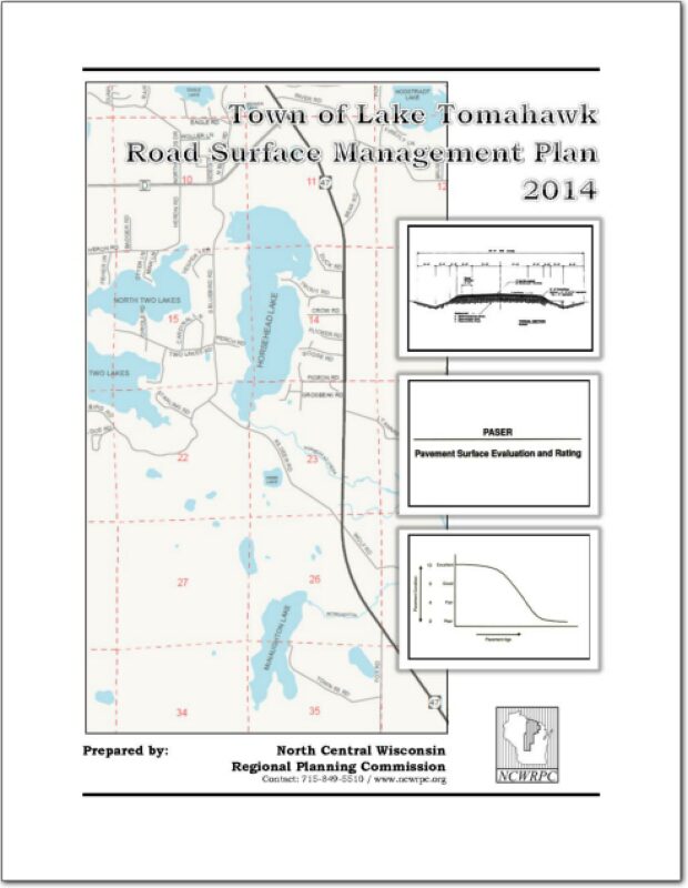
A roadway management plan for a local street system provides a community with the
ability to plan for future roadway improvements. With a roadway management plan in
place, the limited resources allocated to local roads can be better spent. The overall
goal of the Roadway Management Plan is to assist municipalities make better decisions
on the improvements to the local road system. This document contains information vital
to the review and rating of the City of Tomahawk’s roadway system. Thus, the
Roadway Management Plan will assist in preserving and rehabilitating the existing City
street system in a timely and cost-effective manner.

.

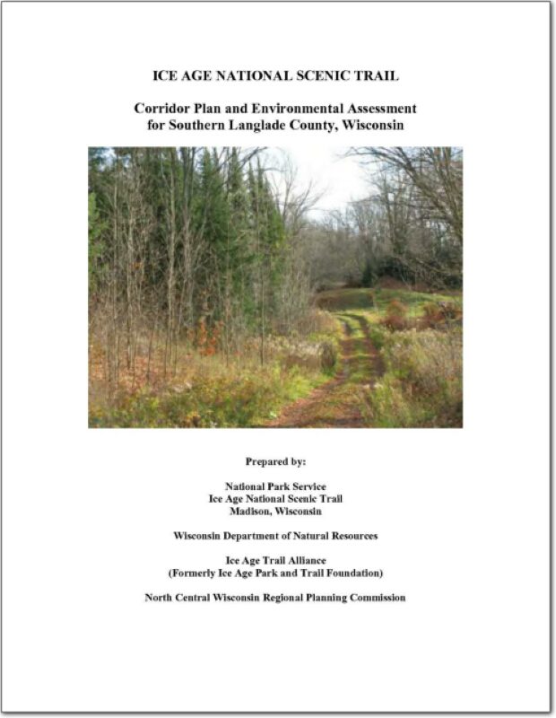
Langlade County, Ice Age National Scenic Trail – 2014

This document analyzes alternatives for locating and developing the Ice Age National Scenic Trail (NST) through southern Langlade County in Wisconsin and proposes implementation of the “Preferred” alternative.

On October 3, 1980, an amendment to the National Trails System (16 U.S.C. 1241 et seq.) authorized establishment of the Ice Age Trail as a National Scenic Trail (NST). To date, Congress has authorized the establishment of eleven NSTs—“extended trails so located as to provide for maximum outdoor recreation potential and for the conservation and enjoyment of the nationally significant scenic, historic, natural, or cultural qualities of the areas through which such trails may pass.” These trails are patterned after the renowned Appalachian NST. NSTs are intended to provide superlative experiences compared to other trails.
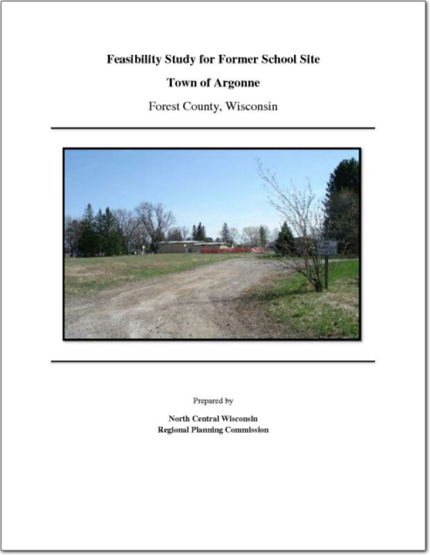
Feasibility Study for Former School Site Town of Argonne

The Town of Argonne was founded in 1887 when the Soo Line railroad built a depot. Today, the community has a population of just over 500 people. The center of the community is located at the intersection of State Highway 32 and 55. The community’s town hall, fire department, post office, community building and major business area is located within blocks of the intersection. The rail line is no longer active.

Comprehensive Economic Development Strategy 2014

An assessment of economic development activities of the North Central Wisconsin Regional Planning Commission over the last decade and the past year. The report’s seven sections describe the CEDS Committee, Past Year’s Activities, the Physical Region, Changes in the Region’s Population, Changes in the Region’s Economy, a Regional Development Strategy, and an Economic Development Work Plan. Also included is a list of potential public works projects.

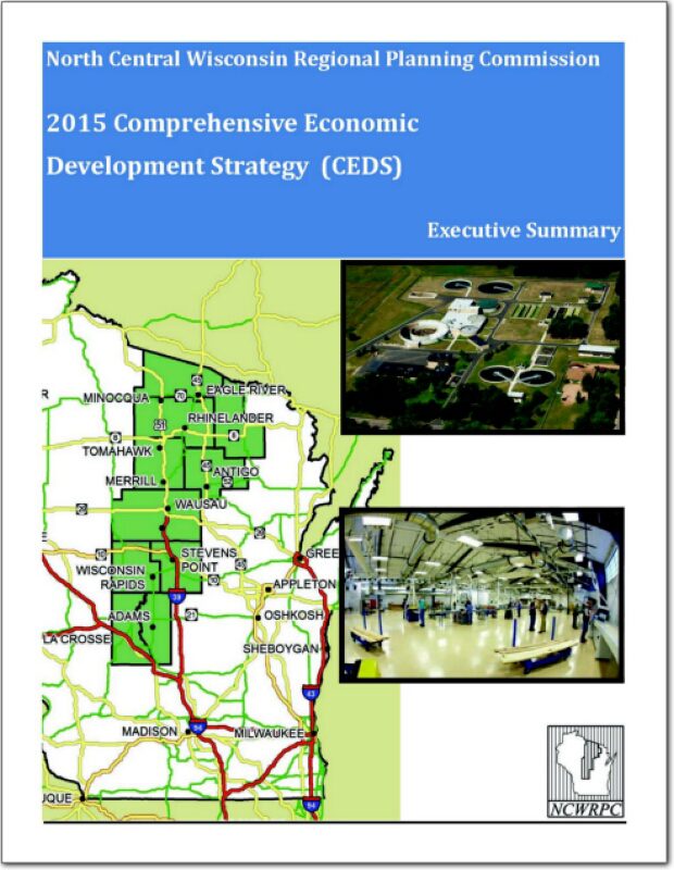
2015 Comprehensive Economic Development Strategy – Executive Summary

The North Central Wisconsin Regional Planning Commission (NCWRPC) is designated as an Economic Development District (EDD) by the U. S. Department of Commerce, Economic Development Administration (EDA). Current members of the EDD are Adams, Forest, Juneau, Langlade, Lincoln, Marathon, Oneida, and Vilas Counties, as well as parts of Portage and Wood Counties. The EDA provides Financial assistance to designated districts in part, for the purpose of developing a Comprehensive Economic Development Strategy (CEDS), the Region’s economic roadmap to diversify and strengthen the regional economy

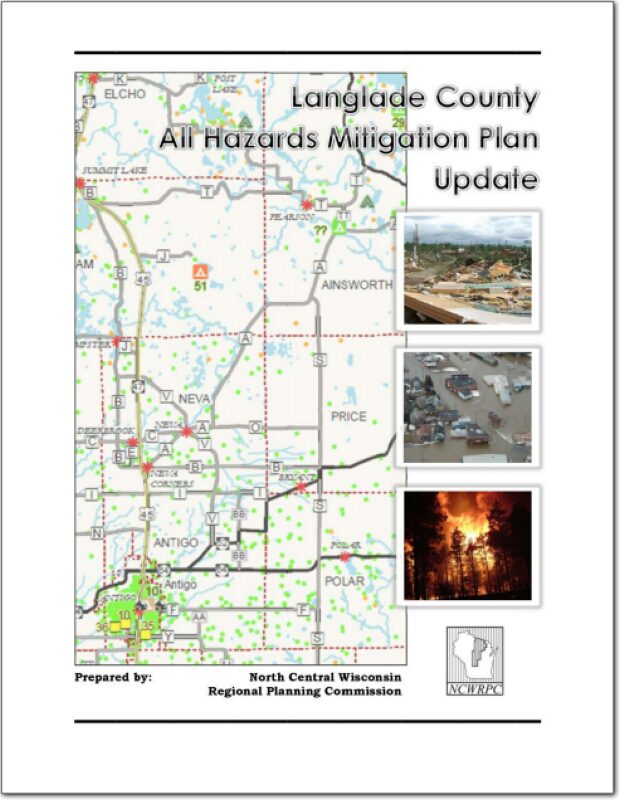
Langlade County All Hazards Mitigation Plan Update 2013

Part I of the Langlade County All Hazards Mitigation Plan (AHMP) Update describes and documents the process used to develop the plan update. This includes how it was prepared and who (committee, organizations, departments, staff, consultants, etc.) was involved in the update process. It also describes the local government’s involvement, the time period in which the update was prepared, and who to contact to answer questions and make recommendations for future amendments to the plan.