Providing Economic Development, Geographic Information Systems, Intergovernmental Cooperation, Land Use Planning and Transportation Assistance since 1973
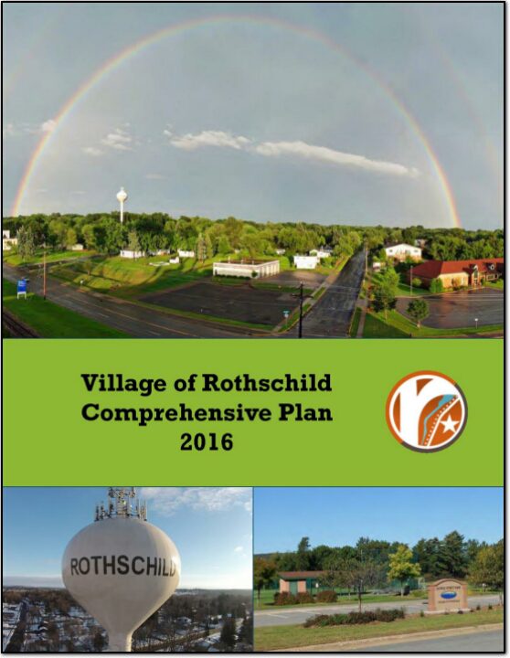
In the fall of 2015, the Village initiated a process to update its 2006 plan. The state planning law – 66.1001 – requires that a comprehensive plan be updated every 10 years.
A variety of Village Plan Commission meetings were held over the course of 2015 and 2016 to prepare the plan. A final Plan Commission meeting was held in early 2016 to review the final draft and recommend adoption of the plan to the Village Board.
The Comprehensive Planning Process was overseen by the Plan Commission, who met several times with staff from North Central Wisconsin Regional Planning Commission to review the 2004 plan, analyze updated data, draft new goals, and develop a new Future Land Use map. This process took approximately nine months, culminating in the adoption of this Plan.
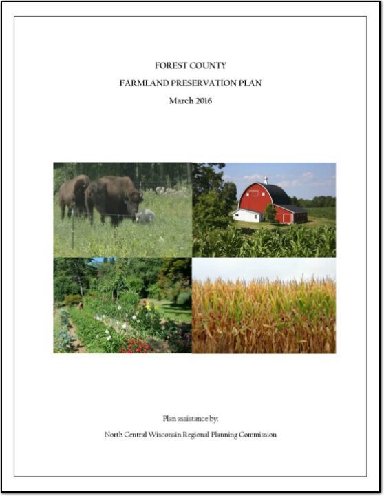
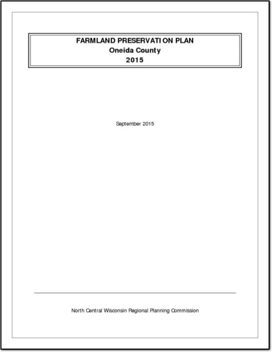
In 2010, agriculture constituted a $59 billion industry in Wisconsin. Farmland around the country is being lost at an alarming rate, and, once it is gone, we cannot get it back. Farmland preservation planning is crucial to preserve the agricultural land remaining in Wisconsin, because of the economic importance of agriculture in the State and the potential for loss of our agricultural land base.
An assessment of economic development activities of the North Central Wisconsin Regional Planning Commission over the last decade and the past year. The report’s seven sections describe the CEDS Committee, Past Year’s Activities, the Physical Region, Changes in the Region’s Population, changes in the Region’s Economy, a Regional Development Strategy, and an Economic Development Work Plan. Also included is a list of potential public works projects. This CEDS process maintains the Region’s eligibility as an Economic Development District (EDD) with the U.S. Economic Development Administration. The District consists of ten counties. These counties are Adams, Forest, Juneau, Langlade, Lincoln, Marathon, Oneida, Portage, Vilas, and Wood. However, Portage, and Wood Counties do not fully participate in the EDD – only some local communities with these two Counties participate.
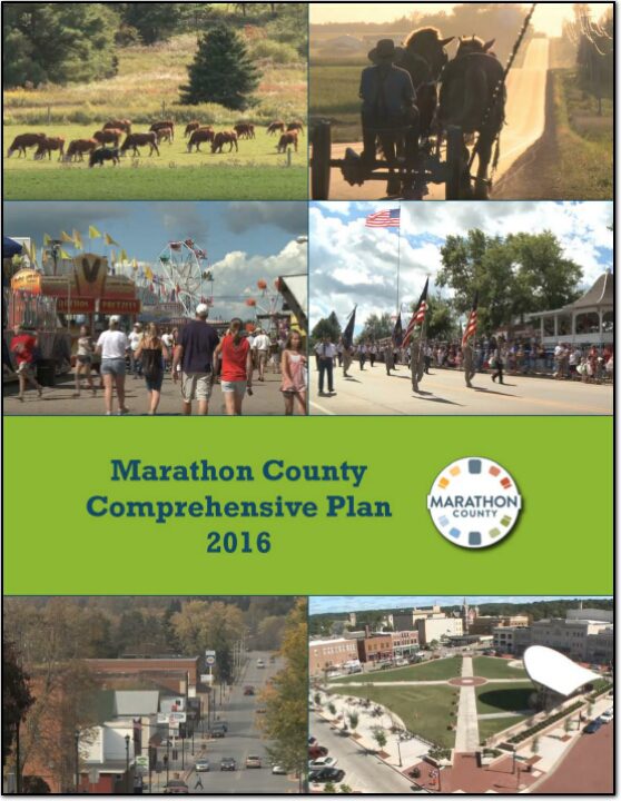
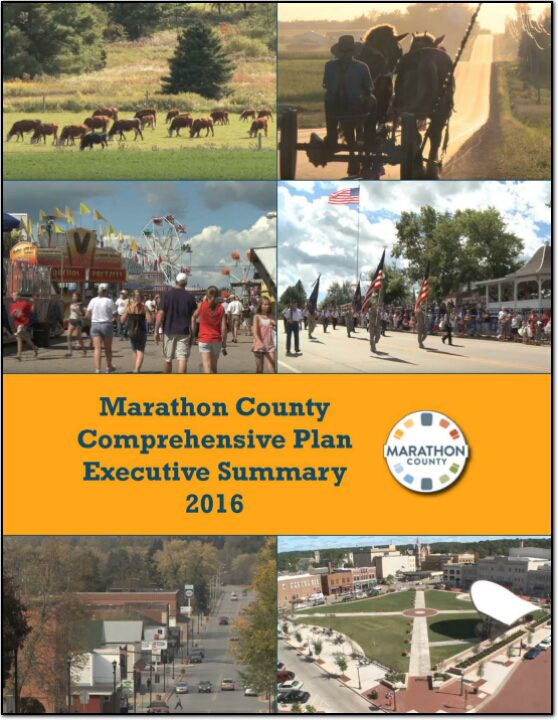
The Marathon County Comprehensive Plan will help guide County decision makers on a wide array of issues over the next twenty years. It will also provide guidance to the 41 towns, 15 villages and 6 cities within the County. All these communities, working together, make Marathon County a special place.
Currently, the 135,000 County residents enjoy economic opportunity, quality schools, and strong communities, along with access to a wide variety of recreational options. Although, the County compares well when compared to other counties there is still room for improvement. An overarching goal of Marathon County is to become the Healthiest, Safest and Most Prosperous County in the State. Therefore, the intent of this plan is to provide the foundation for that improvement.
The Executive Summary includes a brief overview of the Marathon County Comprehensive Plan which was adopted in February, 2016. The purpose of this summary is to provide a snapshot of the plan and provide guidance on where to look in the full plan for more detailed information and direction.
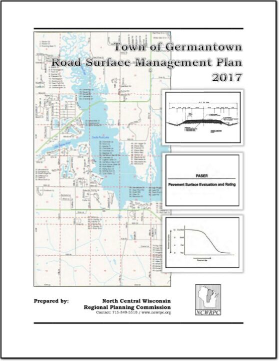
A road surface management plan for a local road network provides a town with the ability to plan for future road surface improvements. With a road surface management plan in place, the limited resources allocated to local roads can be better spent. The overall goal of the Road Surface Management Plan is to help the town make better decisions on the improvements to the local road system. This document contains information vital to the review and rating of the Town of Harding’s highway system. Thus, the Road Surface Management Plan will assist in preserving and rehabilitating the existing town road system in a timely and cost-effective manner.
In 2010, agriculture constituted a $59 billion industry in Wisconsin. Farmland around the country is being lost at an alarming rate, and, once it is gone, we cannot get it back. Farmland preservation planning is crucial to preserve the agricultural land remaining in Wisconsin, because of the economic importance of agriculture in the State and the potential for loss of our agricultural land base.