The Town requested general information with regard to traffic volumes on specific roads.
North Central Wisconsin Regional Planning Commission
Providing Economic Development, Geographic Information Systems, Intergovernmental Cooperation, Land Use Planning and Transportation Assistance since 1973
The Town requested general information with regard to traffic volumes on specific roads.
The Town requested general information with regard to traffic volumes on these roads. The attached reports summarize the data from these sites.
The Comprehensive Economic Development Strategy (CEDS) Annual Report serves to summarize and assess the past year’s economic development activities and present new and modified program strategies for the upcoming year. It follows the CEDS format as suggested by the U. S. Department of Commerce, Economic Development Administration.
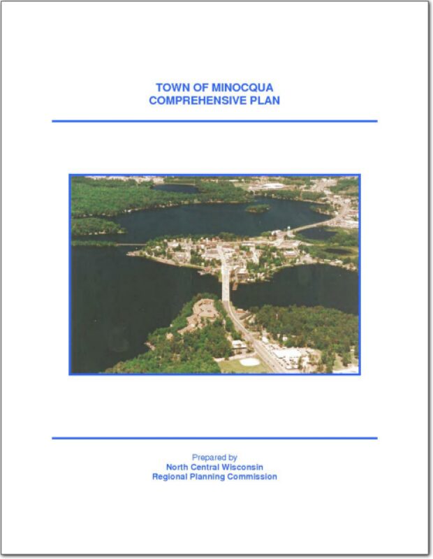
The Town of Minocqua is a large township, nearly five standard townships in area. The Town occupies the northwest corner of Oneida County, Wisconsin. The City of Rhinelander lies southeast of the Town. The Town of Minocqua is bordered by the towns of Woodruff, Hazelhurst, Little Rice and Lynne in Oneida County; Emery and Fifield in Price County; and Lac du Flambeau in Vilas County. It is one of twenty towns in the County.
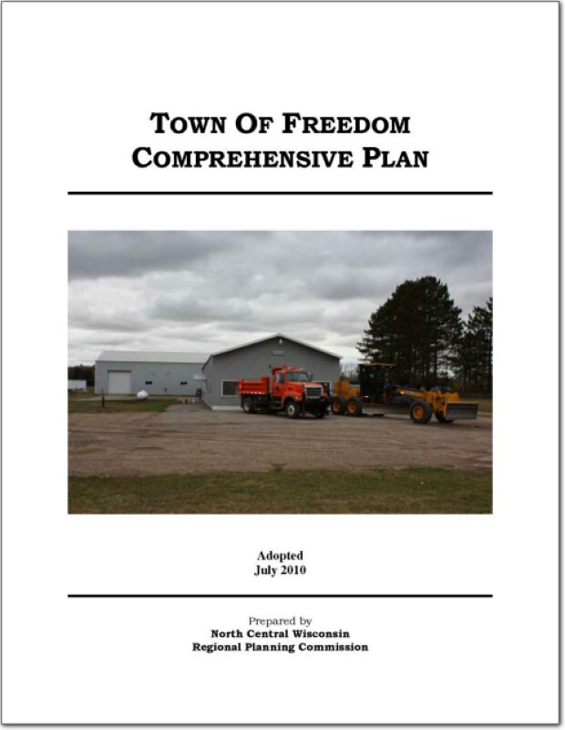
The Town of Freedom Comprehensive Plan, explores potential issues that may have an effect on the development of the Town over the 20-year planning period of the plan.
As required by the state’s comprehensive planning law [§66.1001(2)(a) Wis. Stats.], this chapter contains trends and forecasts with jurisdictional comparisons for some basic demographics including: population, households, employment, age, education, and income. Although forecasts should typically cover the 20-year planning period, in some cases, the only acceptable sources had lesser time periods for their forecasts. Official sources are used for data and forecasting, including the WDOA Demographic Service Center, and the U.S. Census Bureau.
The Town requested specific information with regard to traffic speed and ATV volumes at different spots along Pickerel Lake Road.
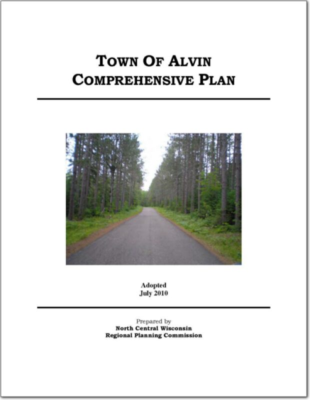
The Town of Alvin is a large township that occupies the northern portion of Forest County, Wisconsin. The Town of Alvin is bordered by the towns of Popple River, Argonne, and Hiles in Forest County; Long Lake and Tippler in Florence County; Phelps in Vilas County and Stambaugh in Iron County Michigan. It is one of fourteen towns in the county.
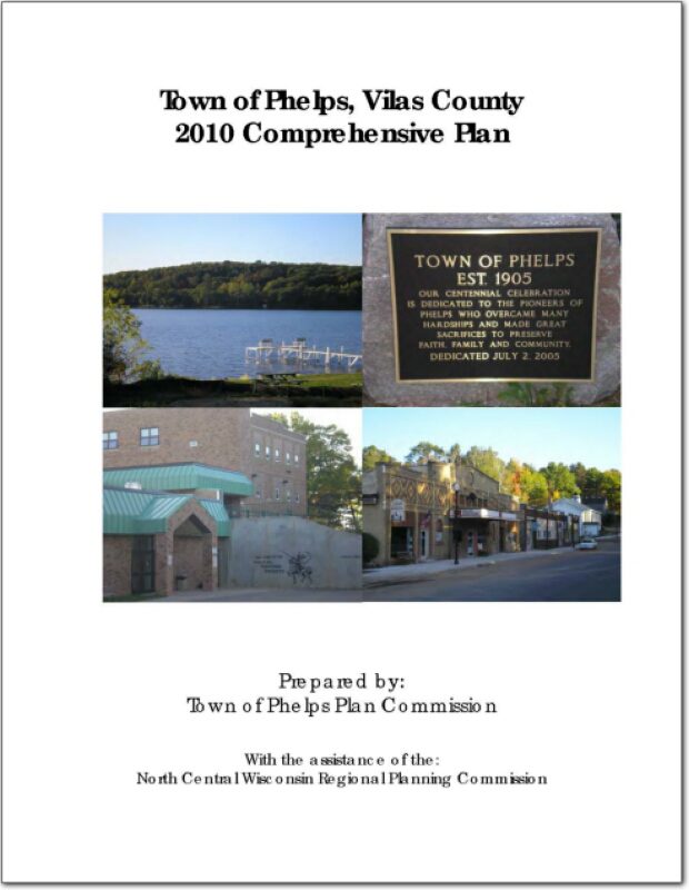
The Town of Phelps Comprehensive Plan, explores potential issues that may have an effect on the development of the Town over the 20-year planning period of the plan. As required by the state’s comprehensive planning law [§66.1001(2)(a) Wis. Stats.], this chapter contains trends and forecasts with jurisdictional comparisons for some basic demographics including: population, households, employment, age, education, and income. Although forecasts should typically cover the 20-year planning period, in some cases, the only acceptable sources had lesser time periods for their forecasts. Official sources are used for data and forecasting, including the WDOA Demographic Service Center, and the U.S. Census Bureau.
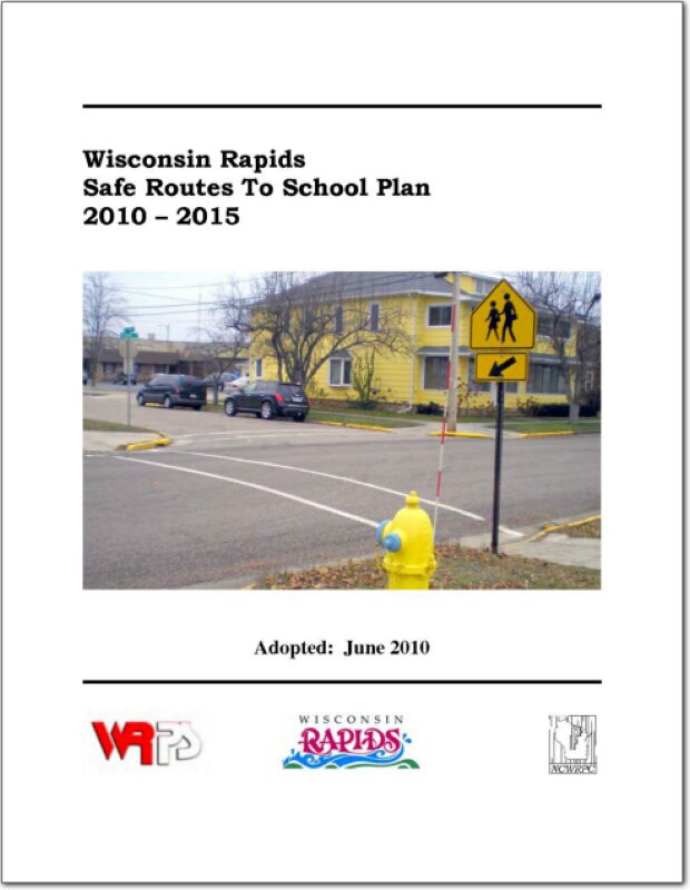
The City of Wisconsin Rapids and Wisconsin Rapids Public Schools created a Safe Routes To School Task Force to apply for a planning grant. All of the public elementary schools in the City, the middle school, the police, city administration, and local citizens were all part of the Task Force. The approved planning grant paid 100% of NCWRPC’s planning services to assist with creating a Safe Routes To School plan.
