Forest County is a county located in northernf Wisconsin. As of the 2020 census, the population was 9,179. The county seat is Crandon. Forest County was created in 1885 and is named after the heavily forested terrain within its borders. The county is known for its many lakes, forests and outdoor recreational opportunities. The Chequamegon-Nicolet National Forest covers a large portion of the county. The county is mostly rural with forestry and tourism being the main industries.
NCWSC
Member Communities:
Marathon County; the Cities of Baraboo, Marshfield, Merrill, Mosinee, Schofield, Stevens Point, Wausau and Wisconsin Rapids; the Villages of Kronenwetter, Rothschild and Weston; and the Town of Rib Mountain have formed the North Central Wisconsin Stormwater Coalition. The Coalition is working to address stormwater issues in North Central Wisconsin. Stormwater is water that accumulates on land as a result of storms and can include runoff from urban areas such as roads and roofs.
MISSION:
The North Central Wisconsin Stormwater Coalition coordinates and collaborates on education and outreach activities, and recommends policy and operational changes for cooperating local governments in order to comply with regulations and reduce stormwater pollution in a cost effective manner so that residents of Central Wisconsin benefit from lakes and streams that remain swimmable and fishable.
NEWCOM
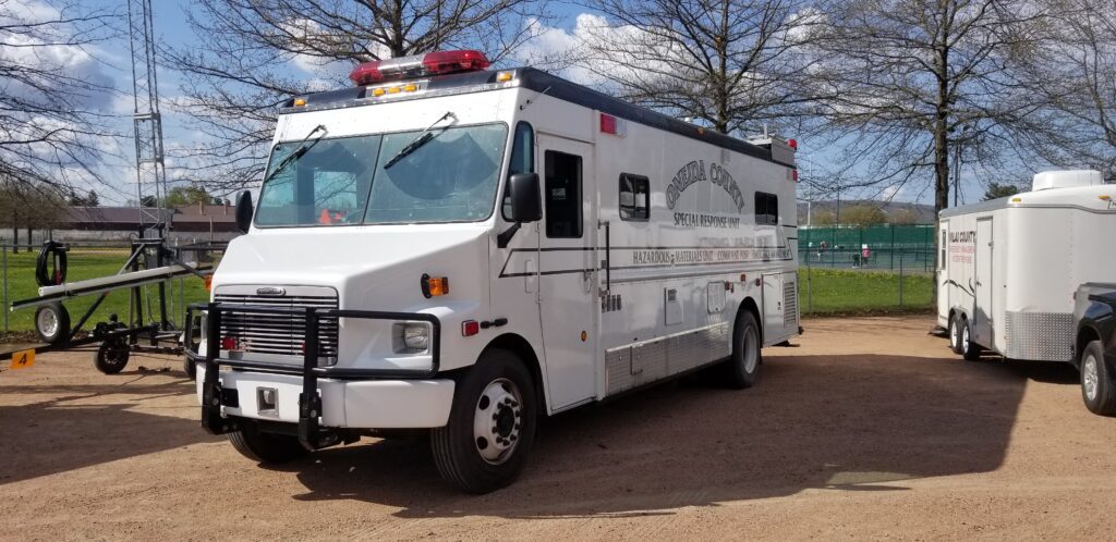
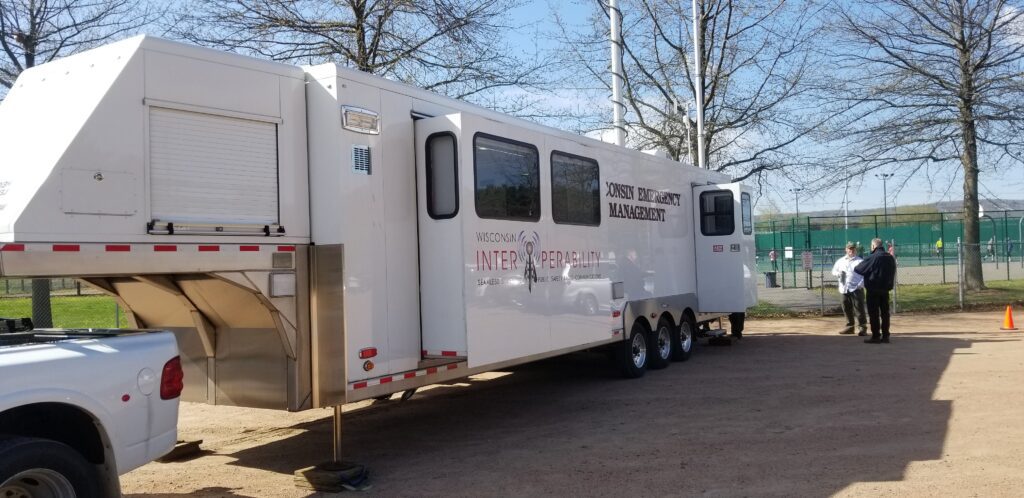
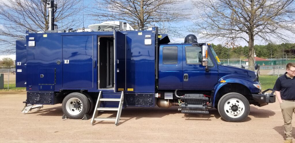
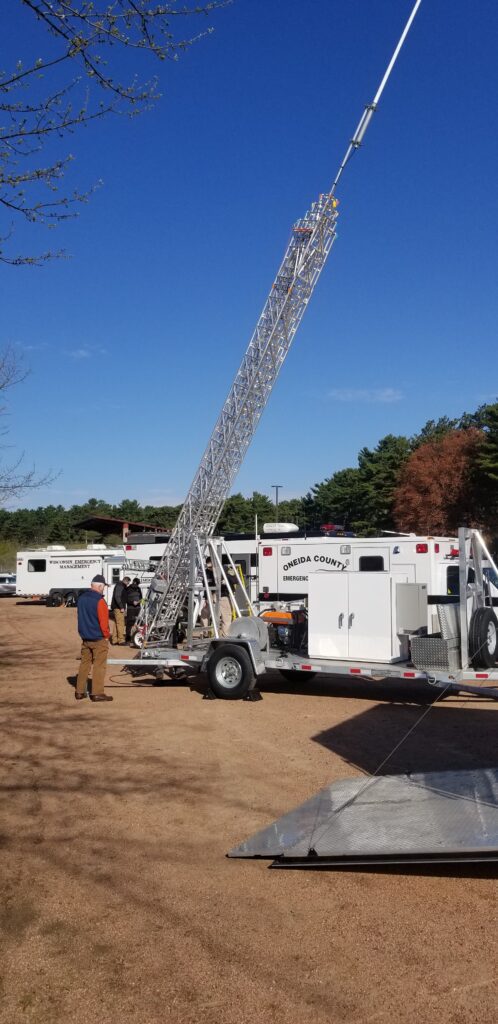
The counties of northeastern Wisconsin have a long history of working cooperatively to address the public safety needs of the area. This latest effort, called the North East Wisconsin Public Safety COMmunications or NEWCOM, will create a group that will identify the communication needs for the area, so the 500 plus law enforcement and public safety organizations can communicate effectively throughout the Region.
The group formed under Intergovernmental Agreement §66.0301, Wis. Stats in 2006
Meetings 2025
February 6th
May 1st
August 7th
November 6th
| Sherri Congleton | Vilas County | Chair |
| Ryan Berdal | Marathon County | Vice-Chair |
| Rozanne Kahan | Price County | Secretary- Treasurer |
| Andy Faust | NCWRPC | NEWCOM Contact |
Intergovernmental Cooperation
The NCWRPC is available to conduct specialized studies on request. In the past, the NCWRPC has completed studies such as merging ambulance services, community consolidation studies, economic impact analysis, and a juvenile detention study.
In addition, the NCWRPC serves as the Regional Clearinghouse and reviews all applications for federal and state assistance throughout the ten-county region for their compatibility with existing plans and programs in the area.
Framework for Regional Development:
The Framework is the NCWRPC’s master plan for the physical development of the Region. This plan creates a framework for consistency and coordination in the preparation of county & local landuse plans.
Forum for Exchange:
The NCWRPC acts as a forum through which different counties and municipalities can communicate with each other about common problems and issues that cross borders. The NCWRPC is designated as an economic development district by the U.S. Economic Development Administration and as a rural transportation planning organization by WisDOT to coordinate economic development and transportation strategies on a regional basis with cooperative efforts to solve local problems.
Intergovernmental Agreements:
The NCWRPC can assist in the development of intergovernmental agreements including cooperative boundary agreements and planning. Intergovernmental agreements can be as simple as agreeing to conduct joint plan commission meetings, share police and fire services, or as complex as tax revenue sharing, and redefining municipal boundaries. Two basic types of agreements are authorized under s.66.023 & s.66.30 WI Stats. Other specialized agreements are possible under a variety of specific statutes.
Cooperative Boundary Agreements – 66.023
The agreement may change boundaries pursuant to an order by the WisDOA. The change is based on a detailed plan. The statute allows the incorporation of a wide variety of other planning tools. These agreements provide flexibility for annexation, zoning, revenue sharing and other inter-municipal activities.
General Agreements – 66.30
A contract between municipal entities to set boundaries or other shared municipal services. Boundaries are set and the parties either commit to maintain them or to allow growth to some ultimate boundary. Agreements may also contain provisions for revenue sharing.
| Title | Location | Date | hf:categories |
|---|---|---|---|
| Take the Broadband Speed Test | Statewide | April 3, 2023 | statewide |
| Wisconsin Regional Orthoimagery Consortium (WROC) | Adams, Affiliated, Forest, Juneau, Langlade, Lincoln, Marathon, Multi-County, Oneida, Portage, Regional, Statewide, Vilas, Wood | November 29, 2021 | adams affiliated forest juneau langlade lincoln marathon multi-county oneida portage regional statewide vilas wood |
| NCWSC | Affiliated, Multi-County, Regional | January 8, 2021 | affiliated multi-county regional |
| NEWCOM | Affiliated, Forest, Langlade, Lincoln, Marathon, Multi-County, Oneida, Portage, Regional, Vilas, Wood | January 8, 2021 | affiliated forest langlade lincoln marathon multi-county oneida portage regional vilas wood |
| NRTC | Affiliated, Multi-County, Regional | December 29, 2020 | affiliated multi-county regional |
| AWRPC | Affiliated, Multi-County, Regional | December 1, 2020 | affiliated multi-county regional |
| NRTC | Multi-County | November 30, 2020 | multi-county |
| Adams County Strategic Plan | Adams | October 1, 2019 | adams |
| Adams-Juneau Flood Resiliency Study | Adams, Juneau | December 1, 2018 | adams juneau |
| Wisconsin Regional Planning Commissions – 2013 Profile | Multi-County, Regional | January 1, 2013 | multi-county regional |
| Long-Term Power Outage Preparedness in Wisconsin | Statewide | October 1, 2010 | statewide |
NRTC
The Mission of the Northwoods Rail Transit Commission is:
To sustain and enhance safe, reliable and efficient rail service critical to the businesses, communities and economies in northern Wisconsin and the Upper Peninsula of Michigan.
AWRPC
The Association of Wisconsin Regional Planning Commissions (AWRPC) is a voluntary association of the nine regional planning commissions in the State of Wisconsin. AWRPC convenes meetings of RPC leaders to exchange information and serves as a clearinghouse for State agency communications and involvement with RPCs.
NRTC
The Mission of the Northwoods Rail Transit Commission is:
To sustain and enhance safe, reliable and efficient rail service critical to the businesses, communities and economies in northern Wisconsin and the Upper Peninsula of Michigan.
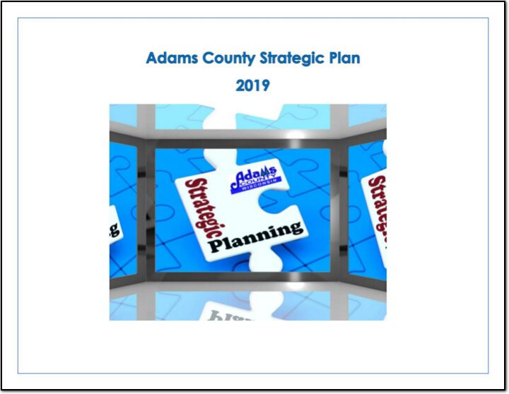
Adams County Strategic Plan
Strategic planning is an organizational management activity that is used to set priorities, focus energy and resources, strengthen operations, ensure that everyone is working toward common goals and general agreement action items. It is a disciplined effort that produces fundamental decisions and actions that shape and guide what an organization is, who it serves, what it does, and why it does it, with a focus on the future.
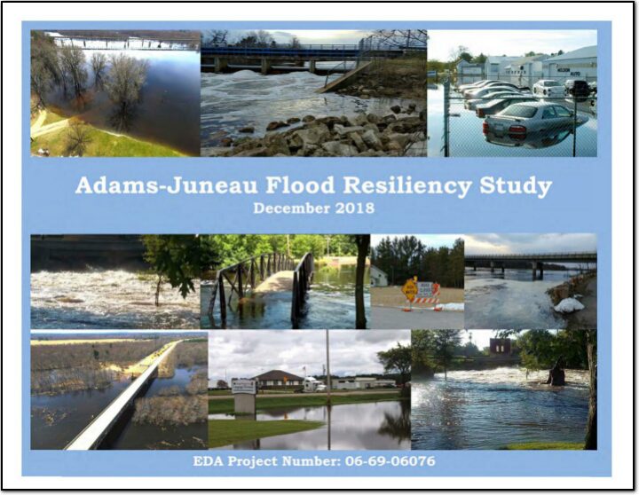
Adams-Juneau Flood Resiliency Study
This study is in response to impacts suffered resulting from this flood event. The area had rainfall totals of 3 to 7 inches, while some localized areas experienced 9 to 11 inches total. At one Adams County location, a three day of total of 8.2 inches of rainfall was reported. The Wisconsin DNR issued warnings to residents and tourists urging them to avoid contact with flood waters, as well as notification to private property owners to be aware of possible well contamination. In Adams County, several homes were damaged. Additionally, numerous local and county road segments were closed due to water over the roads and culvert washouts, causing damages estimated to exceed $108,000. Reports of flooded parking lots impeded customer access to some businesses. Additionally, the County issued a press release to residents living in low lying areas and those living along the Wisconsin River/Castle Rock and Petenwell Flowages. Conditions above and below dams were considered dangerous, and recreationists and residents were urged to take extra precautionary measures and watch for rapidly rising water. In Juneau County, flooding occurred on the Yellow and Baraboo Rivers. Damages to residential and business properties was scattered throughout those basins. Public sector damages were in excess of $160,000. Several Town and county roads were closed due to high water.
Adams County
Adams County is a county located in central Wisconsin. As of the 2020 census, the population was 20,654. The county seat is Friendship. The county was created in 1848 and is named after the second President of the United States, John Adams. Adams County is known for its rolling hills and scenic views. It is also home to the Big Roche-A-Cri State Park, which features a large rock formation and hiking trails. The county is mostly rural, with agriculture being the main industry.