Providing Economic Development, Geographic Information Systems, Intergovernmental Cooperation, Land Use Planning and Transportation Assistance since 1973
A comprehensive plan is a local government’s guide to community physical, social, and economic development. Comprehensive plans are not meant to serve as land use regulations in themselves; instead, they provide a rational basis for local land use decisions with a twenty-year horizon for future planning and community decisions.
The purpose of a Comprehensive Plan is to guide future growth and development in the Town over the next 10 to 20 years. A comprehensive plan provides the vision and direction for natural resource protection, housing and economic development, transportation and community facilities, land use, intergovernmental relations, and other factors that together form the community’s future. Comprehensive planning was enacted to encourage long-range planning for communities and provide consistency in land use decision making. The Comprehensive Plan is a guide that elected officials, residents, and business owners can use for directing growth and redevelopment in the community. The Comprehensive Plan is a long-range policy document consisting of goals, objectives, and policies prepared to meet the State’s definition of a comprehensive plan as defined under Section 66.1001.
The purpose of a Comprehensive Plan is to guide future growth and development in the Town over the next 10 to 20 years. A comprehensive plan provides the vision and direction for natural resource protection, housing and economic development, transportation and community facilities, land use, intergovernmental relations, and other factors that together form the community’s future. Comprehensive planning was enacted to encourage long-range planning for communities and provide consistency in land use decision making. The Comprehensive Plan is a guide that elected officials, residents, and business owners can use for directing growth and redevelopment in the community. The Comprehensive Plan is a long-range policy document consisting of goals, objectives, and policies prepared to meet the State’s definition of a comprehensive plan as defined under Section 66.1001.
In the fall of 2021, the Town initiated a process to update its 2009 plan. The state planning law – 66.1001 – requires that a comprehensive plan be updated every ten years. A variety of Plan Commission meetings were held over the course of 2022 to prepare the plan. A final Plan Commission meeting was held in summer of 2022 to review the final draft and recommend adoption of the plan by the Town Board.
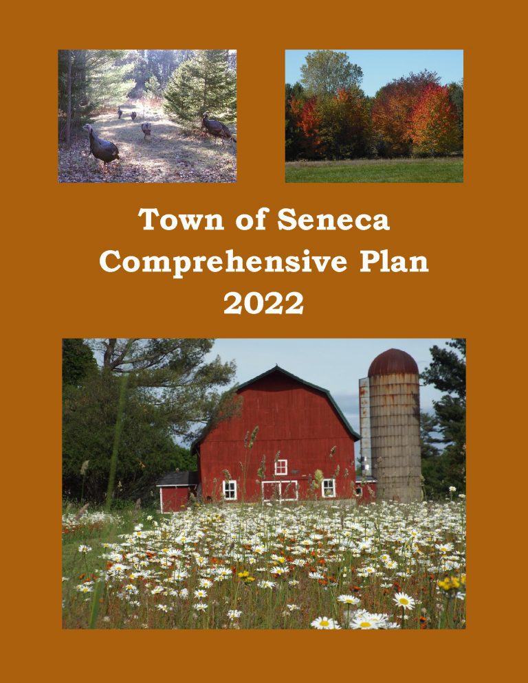
The purpose of a Comprehensive Plan is to guide future growth and development in the Town over the next 10 to 20 years. A comprehensive plan provides the vision and direction for natural resource protection, housing and economic development, transportation and community facilities, land use, intergovernmental relations, and other factors that together form the community’s future. Comprehensive planning was enacted to encourage long-range planning for communities and provide consistency in land use decision making. The Comprehensive Plan is a guide that elected officials, residents, and business owners can use for directing growth and redevelopment in the community. The Comprehensive Plan is a long-range policy document consisting of goals, objectives, and policies prepared to meet the State’s definition of a comprehensive plan as defined under Section 66.1001.
The Town of Clearfield’s Comprehensive Plan guides the future growth, development and enhancement of the Town for the next 10 to 20 years. This plan incorporates more than just future land uses, but also direction for housing and neighborhood development, economic development, transportation, community facilities, protection of natural resources and intergovernmental cooperation. These crucial elements among others will shape the future of the Town.
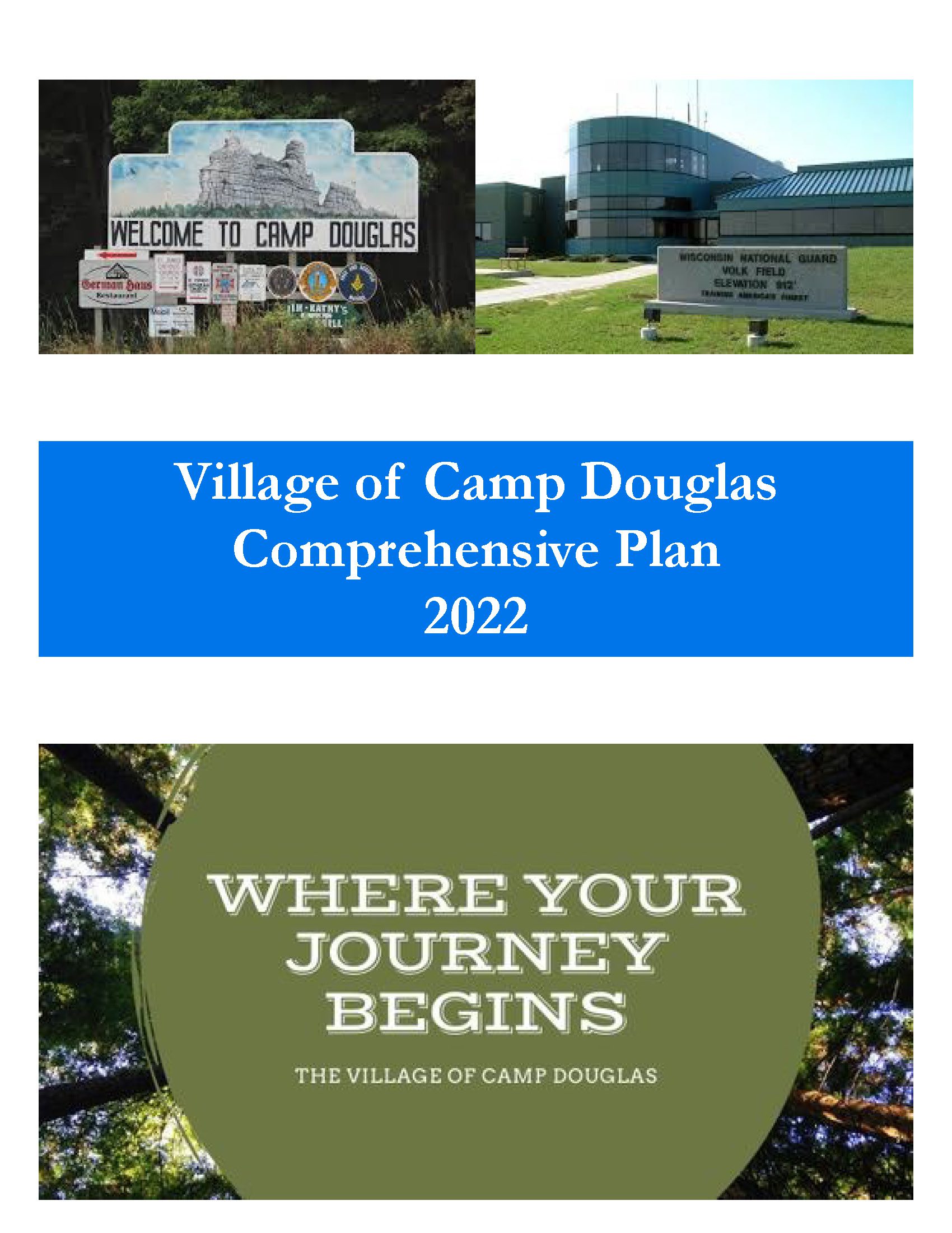
The Village of Camp Douglas Comprehensive Plan is intended to provide a guideline for development of the Village. Local officials shall use this document when making land use decisions. Numerous reasons exist for developing a comprehensive plan: To both assist in identifying and qualify for funding opportunities To identify areas appropriate for development and preservation over the next 20 years; To recommend land uses in specific areas of the Village; To establish community goals, objectives, and policies. This Comprehensive Plan was prepared to comply with the Comprehensive Plan State Statute 66.1001.
The Town of Bevent Comprehensive Plan is a compilation of historical data and community created goals, objectives, policies, and programs that will guide future planning and community decisions for a 20-year period. Comprehensive plans incorporate a twenty-year vision and provide a rational basis for local land use decisions.
The comprehensive plan law (§66.1001 WI Stats.) defines the contents of a local comprehensive plan, which has nine chapters—Issues & Opportunities; Natural, Cultural, & Agricultural Resources; Housing; Transportation; Economic Development; Land Use; Utilities & Community Facilities; Intergovernmental Cooperation; and Implementation. Population, housing, and land use projections are also required in 5-year increments for 20 years. Locally created goals, objectives, and policies are also part of each comprehensive plan chapter.
According to §66.1001 WI Stats., if a town, village, city, or county engages in official mapping, subdivision regulation, or zoning, those actions must be consistent with that community’s comprehensive plan.
In the fall of 2021, the Town initiated a process to update its plan. The state planning law – 66.1001 – requires that a comprehensive plan be updated every ten years. A variety of Planning Commission meetings were held over the course of 2021 and 2022 to prepare the plan. A final Planning Commission meeting was held in the winter of 2022 to review the final draft and recommend adoption of the plan by the Town Board. The plan was adopted by the Town Board on April 4, 2022
The purpose of a Comprehensive Plan is to guide future growth and development in the Town over the next 10 to 20 years. A comprehensive plan provides the vision and direction for natural resource protection, housing and economic development, transportation and community facilities, land use, intergovernmental relations, and other factors that together form the community’s future. Comprehensive planning was enacted to encourage long-range planning for communities and provide consistency in land use decision making. The Comprehensive Plan is a guide that elected officials, residents, and business owners can use for directing growth and redevelopment in the community. The Comprehensive Plan is a long-range policy document consisting of goals, objectives, and policies prepared to meet the State’s definition of a comprehensive plan as defined under Section 66.1001.