Every few years, NCWRPC updates basic demographic and economic development information in the form of County Profiles, which provide a snapshot of current economic trends and opportunities for economic growth. Included is a map of business park locations where acreage is available as well as contacts for various economic development agencies and programs.
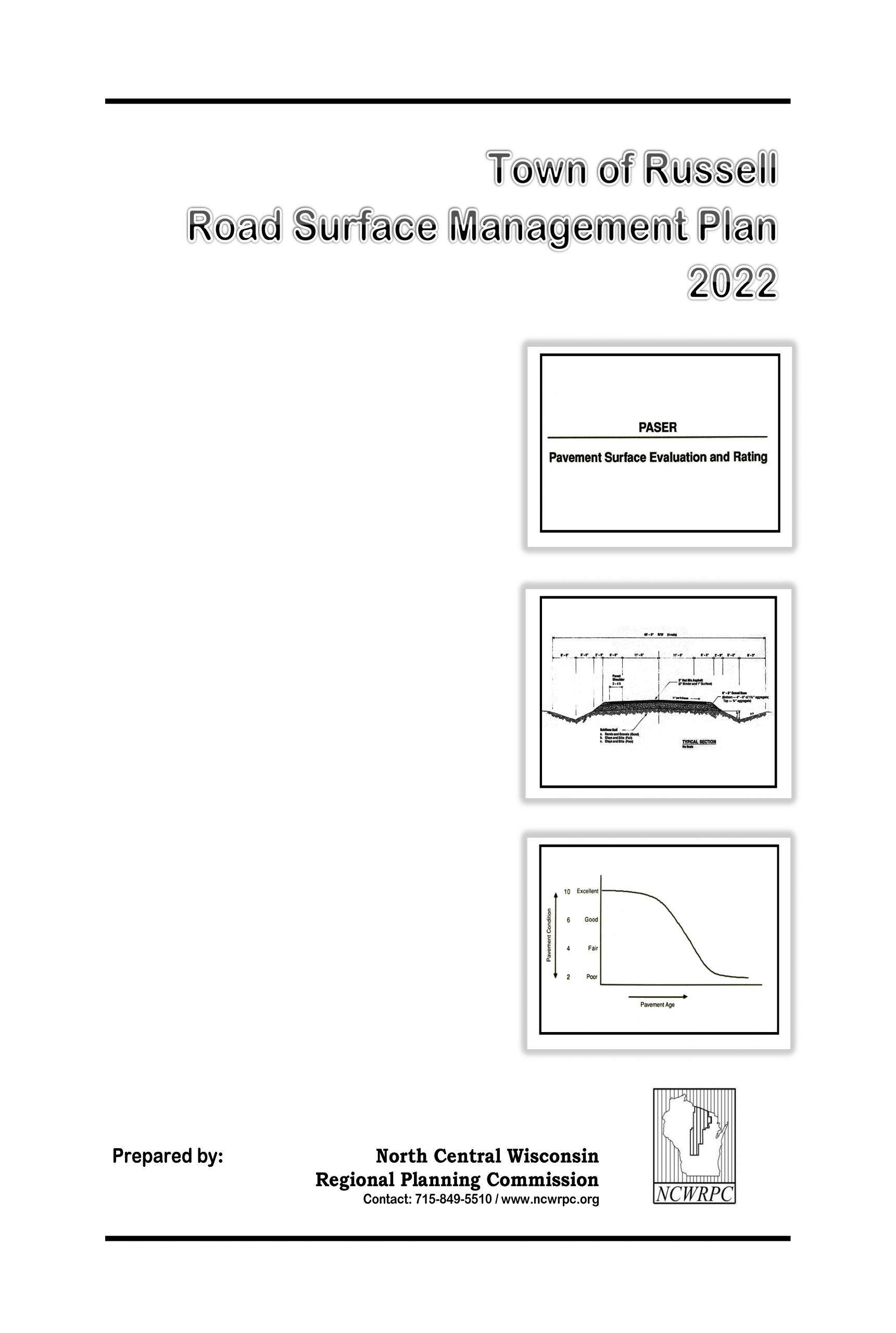
Town of Russell Road Surface Management Plan 2022-2026
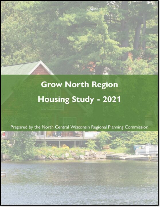
Grow North Region Housing Study – 2021
Housing is a crucial component of livability and is critical for regional and local prosperity. Communities that can offer a variety of housing types that are affordable across a wide spectrum of income levels are significantly more capable of providing the conditions necessary to attract and retain residents of all life phases. Housing impacts more than just residents, as housing also impacts transportation, employment, economic development, land use patterns, and communities themselves. The connection between housing and work is a fundamental function of any transportation system, as many workers are required to travel to their jobs. This relationship between housing, employment, and transportation guides land use decisions, and fosters economic development and a sense of community within communities and the
Region.
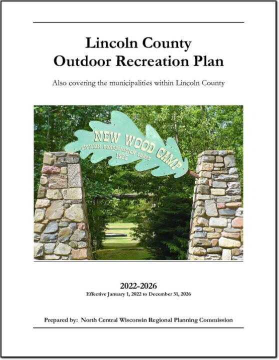
Lincoln County Outdoor Recreation Plan 2022-2026
The primary purpose of this outdoor recreation plan is to provide continued direction toward meeting the current and future recreation needs of Lincoln County. This is accomplished through an inventory and analysis of outdoor recreational facilities, asking the public what they are looking for, and the establishment of recommendations to meet identified needs.
Alan Bishop
Lincoln County
Loretta Baughan
Lincoln County
Merrill Safe Routes To School
Safe Routes to School (SRTS) programs are an opportunity to make walking and bicycling to school safer for children in grades K-8, and to increase the number of children who choose to walk and bicycle. On a broader level, SRTS programs can enhance children’s health and well-being, ease traffic congestion near the school, and improve community members’ overall quality of life.
In 2016, 10 school districts won a WisDOT SRTS planning grant as part of the North Central Wisconsin Regional SRTS Program, administered by NCWRPC.
In the fall of 2019-2020, the City of Merrill, and the Merrill School District began SRTS Planning with the assistance of the North Central Wisconsin Regional Planning Commission (NCWRPC). The NCWRPC will guide the Merrill SRTS Task Force through the planning process.
The following schools are part of SRTS planning:
- Jefferson Elementary School (K-5);
- Kate Goodrich Elementary School (K-5);
- Washington Elementary School (K-5);
- Prairie River Middle School (6-8); and
- Merrill High School (9-12);
The Merrill Safe Routes To School (SRTS) Task Force consists of people from the schools, law enforcement, local government officials, and local residents.
Resources
Pedestrian Safety
Bicycle Safety
PSAs
Merrill SRTS Plan
Merrill SRTS Plan (without maps)
Full Adopted Merrill SRTS Plan with all maps & attachments
Prairie River Middle School
Map 3A – Site Assessment
Map 4A – Transportation
Map 5A – School Routes
Map 6A – Recommendations
PRMS SRTS Action Plan
Jefferson Elementary School
Map 3B – Site Assessment
Map 4B – Transportation
Map 5B – School Routes
Map 6B – Recommendations
Jefferson Elementary SRTS Action Plan
Kate Goodrich Elementary School
Map 3C – Site Assessment
Map 4C – Transportation
Map 5C – School Routes
Map 6C – Recommendations
Kate Goodrich Elementary SRTS Action Plan
Washington Elementary School
Map 3D – Site Assessment
Map 4D – Transportation
Map 5D – School Routes
Map 6D – Recommendations
Washington Elementary SRTS Action Plan
Merrill High School
Map 3E – Site Assessment
Map 4E – Transportation
Map 5E – School Routes
Map 6E – Recommendations
Merrill High School SRTS Action Plan
Attachments:
A – Student Tally & Parent Survey forms
B – 2019 Results from Student Tallies & Parent Surveys
C – SRTS Task Force Meetings and Adoption Documentation
D – Bicycle Parking Guidelines
E – Three Factors Increase Walking and Biking–CDC
Make questions or comments about the planning here.
(Email link to submit comments on this plan.)
Lincoln County
Lincoln County is a county located in northern Wisconsin. As of the 2020 census, the population was 28,415. The county seat is Merrill. Lincoln County was created in 1881 and is named after Abraham Lincoln, the 16th President of the United States. The county is known for its many lakes, forests, and outdoor recreational opportunities, including the Lincoln County Forest, the Wisconsin River and the Ice Age Trail. The county is mostly rural with paper mills and manufacturing being the main industries. The county has several small towns and communities, including Tomahawk, Merrill, and Gleason. The county is also known for its hunting, fishing, and snowmobiling.
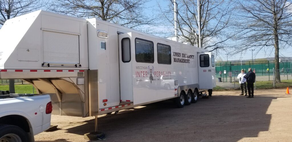
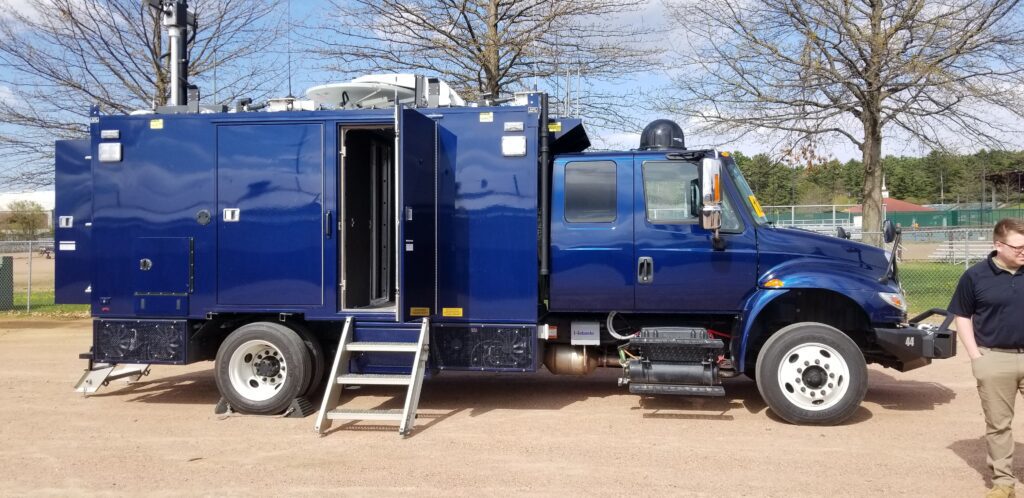
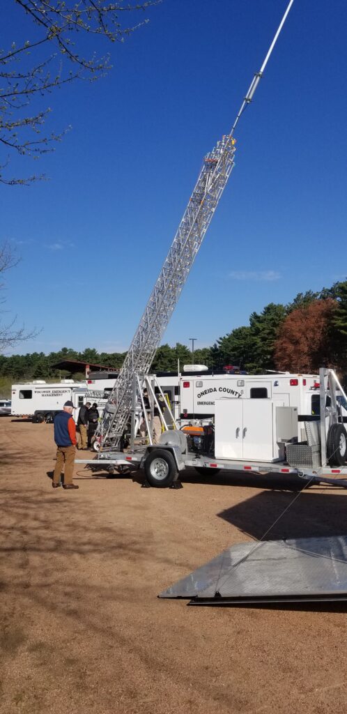
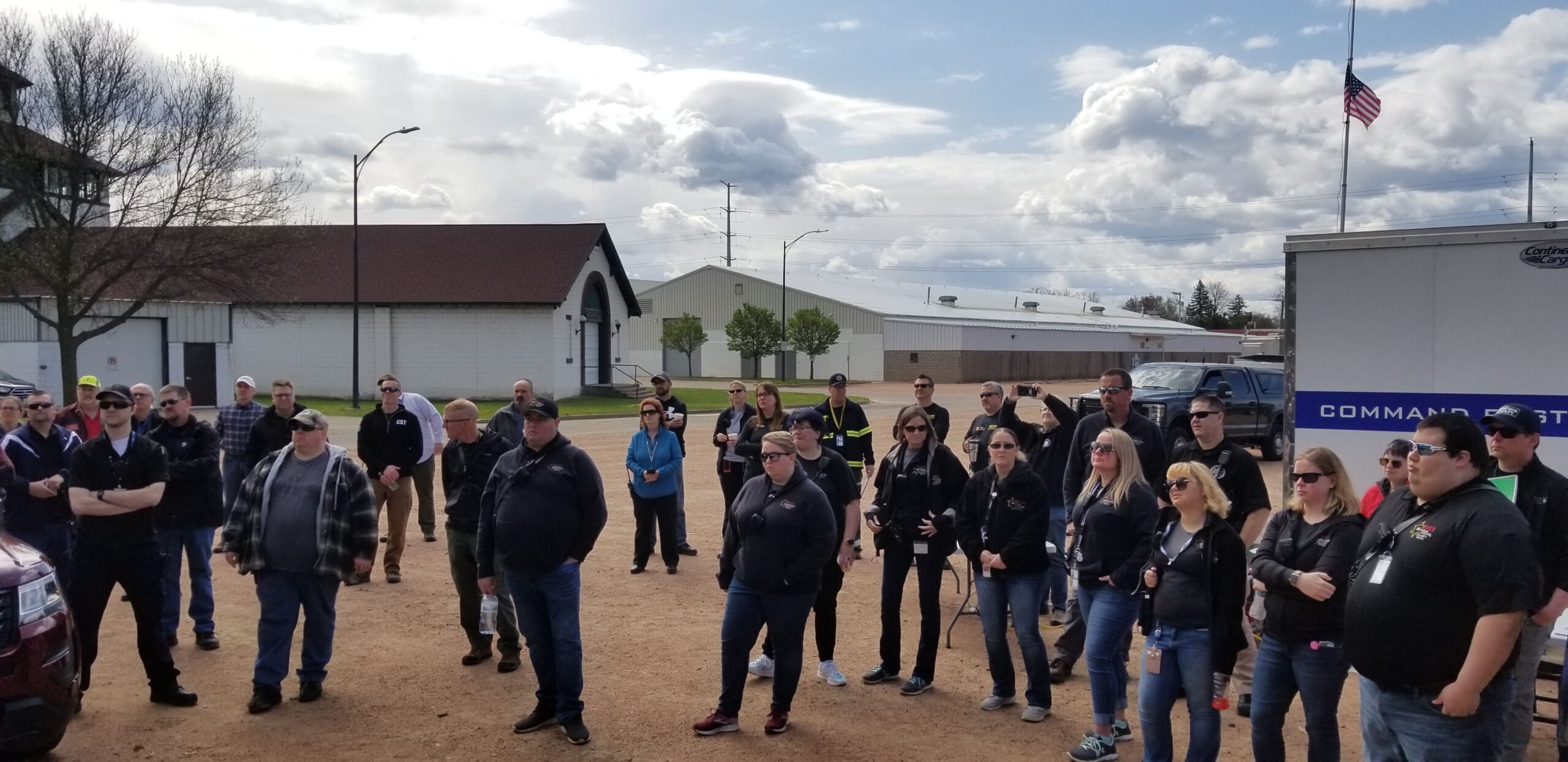
NEWCOM
The counties of northeastern Wisconsin have a long history of working cooperatively to address the public safety needs of the area. This latest effort, called the North East Wisconsin Public Safety COMmunications or NEWCOM, will create a group that will identify the communication needs for the area, so the 500 plus law enforcement and public safety organizations can communicate effectively throughout the Region.
The group formed under Intergovernmental Agreement §66.0301, Wis. Stats in 2006
Meetings 2025
February 6th
May 1st
August 7th
November 6th
| Sherri Congleton | Vilas County | Chair |
| Ryan Berdal | Marathon County | Vice-Chair |
| Rozanne Kahan | Price County | Secretary- Treasurer |
| Andy Faust | NCWRPC | NEWCOM Contact |
Hans Breitenmoser
Lincoln County