The purpose of a Comprehensive Plan is to guide future growth and development in the Town over the next 10 to 20 years. A comprehensive plan provides the vision and direction for natural resource protection, housing and economic development, transportation and community facilities, land use, intergovernmental relations, and other factors that together form the community’s future. Comprehensive planning was enacted to encourage long-range planning for communities and provide consistency in land use decision making. The Comprehensive Plan is a guide that elected officials, residents, and business owners can use for directing growth and redevelopment in the community. The Comprehensive Plan is a long-range policy document consisting of goals, objectives, and policies prepared to meet the State’s definition of a comprehensive plan as defined under Section 66.1001.
Oneida County Housing Study 2025
The Oneida County Housing Study examines which prices, configurations, and styles of housing are needed the most along with a list of strategies the County and its municipalities can use to maintain existing housing stock while expanding the availability of new construction countywide. Oneida County Economic Development Corporation partnered with NCWRPC to conduct this study. Click the links below to see the project’s progress and to take the survey!
Oneida County Comprehensive Plan 2025
The Oneida County Comprehensive Plan will help guide County decision makers on a wide array of issues over the next twenty years. Below are the most recent version of each chapter for review, including proposed changes from the most recent meeting they were reviewed at:
Click here to view a draft of the Comprehensive Plan
Click to view Summary of Changes between 2013 Plan and 2025 Draft
Rhinelander Safe Routes To School – 2024
Safe Routes to School (SRTS) programs are an opportunity to make walking and bicycling to school safer for children in grades K-8, and to increase the number of children who choose to walk and bicycle. On a broader level, SRTS programs can enhance children’s health and well-being, ease traffic congestion near the school, and improve community members’ overall quality of life.
Planning Process
In 2022, the North Central Wisconsin Regional Planning Commission and the School District of Rhinelander won a WisDOT SRTS planning grant to create a SRTS Plan for several schools in the District. In the fall of 2023, the City and District began SRTS Planning with the assistance of the North Central Wisconsin Regional Planning Commission (NCWRPC). The NCWRPC guided the Rhinelander SRTS Task Force through the planning process.
The following schools are part of Rhinelander SRTS Planning:
James Williams Middle School
Central Elementary
Crescent Elementary
Northwoods Community Elementary
Pelican Elementary
Rhinelander SRTS Task Force
Robert Thom, Director of Business Services, School District of Rhinelander
Kyle Raleigh, Principal, James Williams Middle School
Paul Johnson, Principal, Central Elementary
Alex Bontz, Principal, Crescent Elementary
Gayle Daniel, Principal, Northwoods Community Elementary
Candice Cook, Principal, Pelican Elementary
Lloyd J. Gauthier, Jr., Chief, Rhinelander Police Department
Patrick Reagan, Rhinelander City Administrator & Dept. of Public Works Director
Fred Heider, AICP, Planner, North Central Wisconsin Regional Planning Commission
School Data
James Williams Middle School
Parent Survey Results
Map 3A – Site Assessment
Map 4A – Transportation
Map 5A – School Routes
Map 6A – Recommendations (Not available yet.)
-Elementary School Parent Survey AGGREGATE Results (All elementary school parent surveys were tabulated together in this report.)
Central Elementary
-Parent Survey Results
Map 3B – Site Assessment (Not available yet.)
Map 4B – Transportation
Map 5B – School Routes
Map 6B – Recommendations (Not available yet.)
Crescent Elementary
-Parent Survey Results
Map 3C – Site Assessment (Not available yet.)
Map 4C – Transportation
Map 5C – School Routes
Map 6C – Recommendations (Not available yet.)
Northwoods Community Elementary
-Parent Survey Results
Map 3D – Site Assessment (Not available yet.)
Map 4D – Transportation
Map 5D – School Routes
Map 6D – Recommendations (Not available yet.)
Pelican Elementary
-Parent Survey Results
Map 3E – Site Assessment (Not available yet.)
Map 4E – Transportation
Map 5E – School Routes
Map 6E – Recommendations (Not available yet.)
Make questions or comments about the planning here.
(Email link to submit comments on this plan.)
EMSI Reports – Economy Overview
We have been creating economy overviews for all ten of our counties along with Centergy and Grow North regions. We have reports from 2018 to 2024 – More information is about EMSI reports HERE. We also have historic reports back to 2013 if you are intrerested.
Town of Crescent Comprehensive Plan 2024
The purpose of a Comprehensive Plan is to guide future growth and development in the Town over the next 10 to 20 years. A comprehensive plan provides the vision and direction for natural resource protection, housing and economic development, transportation and community facilities, land use, intergovernmental relations, and other factors that together form the community’s future. Comprehensive planning was enacted to encourage long-range planning for communities and provide consistency in land use decision making. The Comprehensive Plan is a guide that elected officials, residents, and business owners can use for directing growth and redevelopment in the community. The Comprehensive Plan is a long-range policy document consisting of goals, objectives, and policies prepared to meet the State’s definition of a comprehensive plan as defined under Section 66.1001.
Oneida County Economic Profile 2024
Every few years, NCWRPC updates basic demographic and economic development information in the form of County Profiles, which provide a snapshot of current economic trends and opportunities for economic growth. Included is a map of business park locations where acreage is available as well as contacts for various economic development agencies and programs.
Oneida County Outdoor Recreation Plan 2024-2028
Oneida County Forestry, Land, and Recreation Department (FLRD) updates its Outdoor Recreation Plan every 5 years to identify outdoor recreation needs that affect the future of outdoor recreation in the County.
This Outdoor Recreation Plan (ORP) focuses upon FLRD managed outdoor recreation facilities, and also list projects within the towns. Rhinelander’s ORP will be referenced in this plan. All listed nature based and active recreation based projects become eligible for competitive federal and state outdoor recreation grant money when this plan is adopted by County or local municipality by resolution.
Non-profit groups, foundations, and the general public may also use this document to coordinate their own private efforts for developing outdoor recreation facilities.
If a local government is going to use the County Outdoor Recreation Plan as their own, then the local government needs to pass a resolution stating that the: “Oneida County Outdoor Recreation Plan, 2024-2028” is adopted as the local government’s plan too.
Make questions or comments about the plan here
(Email link to submit comments on this plan)
City of Rhinelander Outdoor Recreation Plan 2023-2027
The primary purpose of this outdoor recreation plan is to provide continued direction toward meeting the current and future recreation needs of the City of Rhinelander.
This Outdoor Recreation Plan (ORP) was prepared pursuant to Wisconsin Statute §23.30 Outdoor Recreation Program. This section serves “to promote, encourage, coordinate, and implement a comprehensive long-range plan to acquire, maintain, and develop for public use, those areas of the state best adapted to the development of a comprehensive system of state and local outdoor recreation facilities and services…”
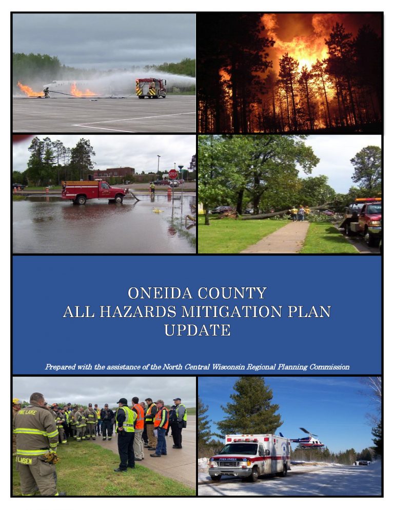
Oneida County All Hazards Mitigation Plan Update 2023
Oneida County All Hazards Mitigation Plan (AHMP) Update describes and documents the process used to develop the plan update. This includes how it was prepared and who (committee, organizations, departments, staff, consultants, etc.) was involved in the update process. It also describes the local government involvement, the time period in which the update was prepared, and who to contact to answer questions and make recommendations for future amendments to the plan. This plan was approved by the Oneida County Board on February 21, 2023