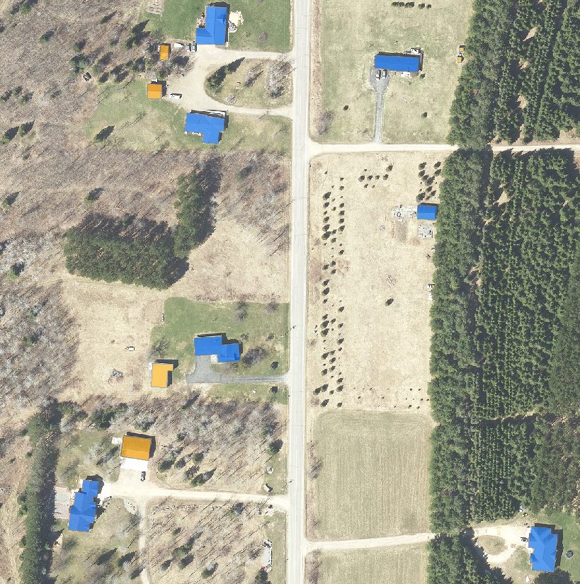
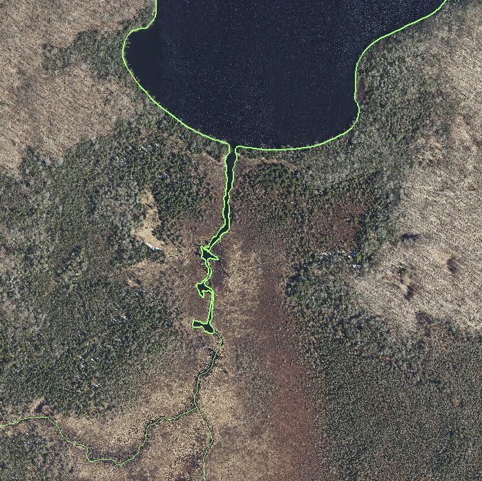
The NCWRPC has available a variety of graphic and mapping products, from aerial photos to wetland maps. We assist communities with Land Records Modernization Plans, grant applications and RFP’s for GIS services. Custom data sets and maps are also available for communities.
In addition, the NCWRPC maintains a wide array of data that is available upon request. Some of the data includes: U.S. Census (1980 – 2010), Economic Census, Employment and Labor Information, and more.
Mapping and GIS:
NCWRPC has available a variety of graphic and mapping products, from aerial photos to land use maps to wetland maps. In addition, we can create custom map products:
Parcel Mapping
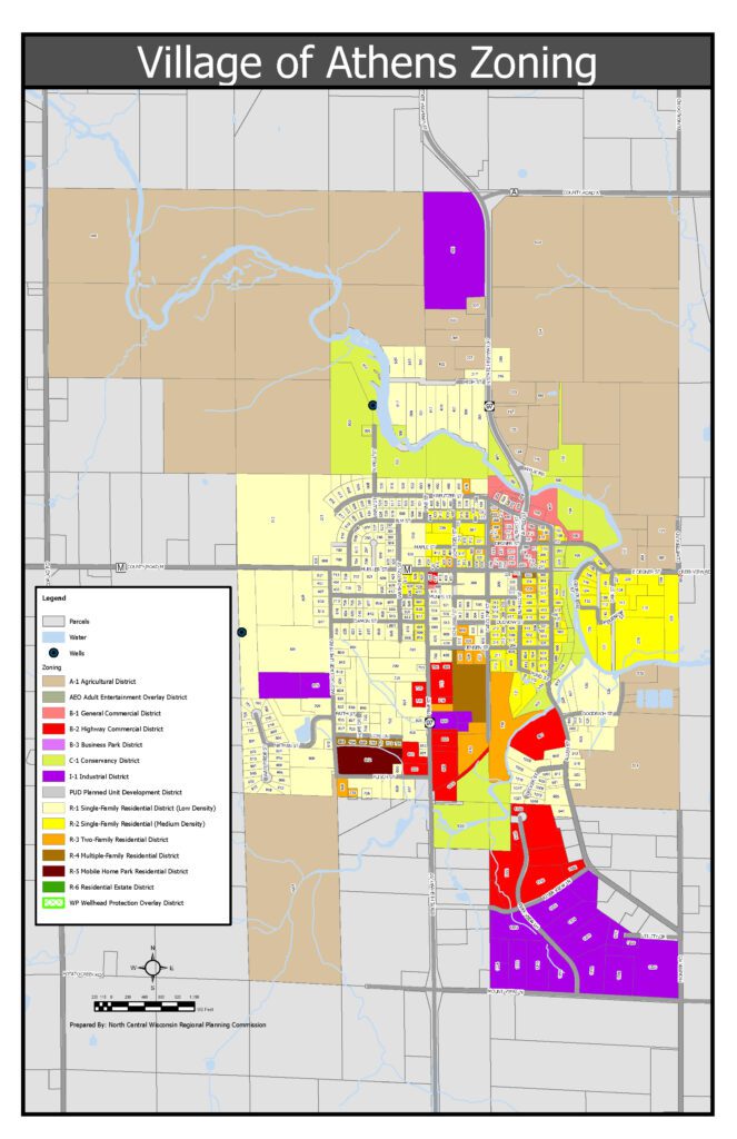
Zoning Maps
Natural Features Maps
Address Maps
Land Use Mapping
ArcMap Projects
A Resource Center for The Region:
Census Data 1980 – 2020
Wisconsin Data Center Affiliate Organization
Census Tract Maps
Planning Library
Aerial Photos of the Region
Wetland Maps
Land Use Data
Historical Data and Maps
Technical Services for the Region
GIS Software:
ArcInfo
ArcMap
ArcGIS Pro
Data Center:
NCWRPC maintains a wide array of data that is available upon request. Some of the data includes: U.S. Census (1980-2020), Economic Census, Employment and Labor Information, and more.
Specialized Services:
NCWRPC is available to conduct specialized services on request:
Computer Equipment Purchases Review
Software Support
Web Page Design
Database Management
Survey Analysis & Design
Who are these Services provided for?
NCWRPC serves the ten counties and the local governments within our region. These services are provided to NCWRPC members. NCWRPC has also contracted with other public and private sector agencies to provide assistance as requested.
| Title | Location | Date | hf:categories |
|---|
| Village of Athens Zoning Map | Marathon | October 4, 2024 | marathon |
| Great Pinery Heritage Waterway | Regional | December 1, 2022 | regional |
| Oneida County Online Mapping Records | Oneida | January 1, 2022 | oneida |
| Forest County Building Mapping | Forest | December 14, 2021 | forest |
| Forest County Hydro Mapping | Forest | December 14, 2021 | forest |
| Wisconsin Regional Orthoimagery Consortium (WROC) | Adams, Affiliated, Forest, Juneau, Langlade, Lincoln, Marathon, Multi-County, Oneida, Portage, Regional, Statewide, Vilas, Wood | November 29, 2021 | adams affiliated forest juneau langlade lincoln marathon multi-county oneida portage regional statewide vilas wood |
| Forest County Parcel Mapping | Forest | January 8, 2021 | forest |


