Providing Economic Development, Geographic Information Systems, Intergovernmental Cooperation, Land Use Planning and Transportation Assistance since 1973
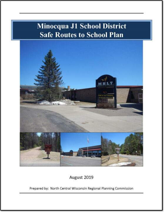
The purpose of the Safe Routes to School (SRTS) program is to provide safe pedestrian and bicycle facilities that encourage healthier lifestyles. Programs can be established to educate students, parents, and the community on the benefits of walking and bicycling to school and provide tips to do so safely.
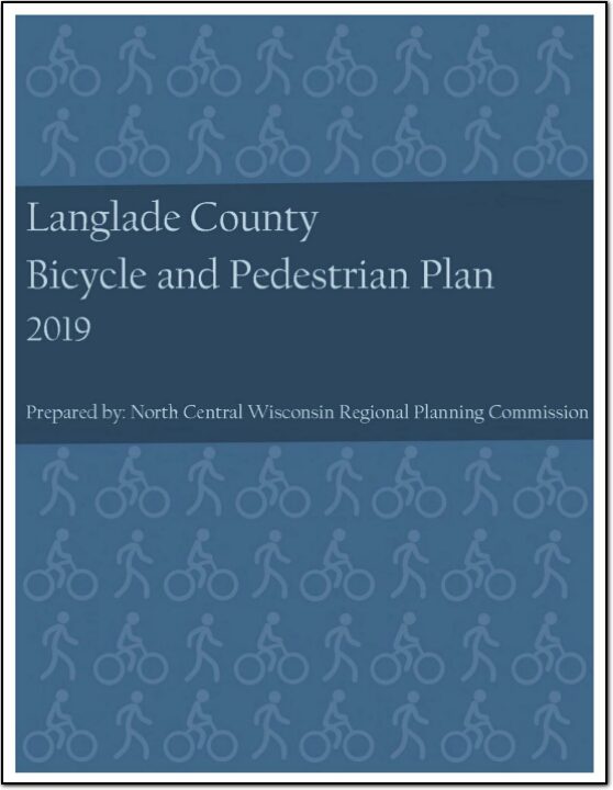
The focus of this plan is to enhance the viability of bicycling and walking as a form of transportation throughout communities in Langlade County. This plan focuses on guidelines for planning bicycle facilities, with general design and funding information included. This plan also examines existing conditions for biking and walking countywide and suggests routes and segments on which to prioritize bicycling and walking improvements.
This plan focuses on guidelines for planning bicycle facilities, with general design and funding information included. This plan also examines existing conditions for biking and walking countywide and suggests routes and segments on which to prioritize bicycling and walking improvements.
Juneau County has contracted with the North Central Wisconsin Regional Planning Commission (NCWRPC) to assist with the preparation of a human services transportation needs assessment for the County. The primary purpose of this study is to assess current needs and present transit alternatives and recommendations on how to best achieve personal transportation goals and objectives identified by community members and county representatives.
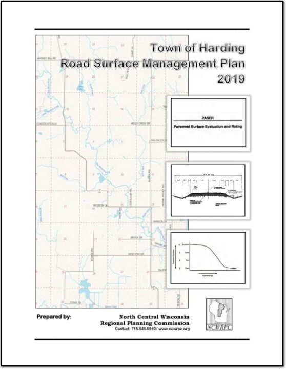
A road surface management plan for a local road network provides a town with the ability to plan for future road surface improvements. With a road surface management plan in place, the limited resources allocated to local roads can be better spent. The overall goal of the Road Surface Management Plan is to help the town make better decisions on the improvements to the local road system. This document contains information vital to the review and rating of the Town of Harding’s highway system. Thus, the Road Surface Management Plan will assist in preserving and rehabilitating the existing town road system in a timely and cost-effective manner.
Federal transit law requires that any projects selected for funding under the Section 5310 Enhanced Mobility of Seniors and Individuals with Disabilities (formerly titled Elderly and Disabled Capital Assistance Program) must be derived from a “locally developed, coordinated public transit-human services transportation plan”. This requirement was implemented as part of the SAFETEA-LU legislation and the requirement continues under the new transportation legislation, FAST Act (Fixing America’s Surface Transportation). The purpose of the coordinated planning process is to have stakeholder involvement in the assessment of elderly and disabled transportation, and to provide strategies and goals to improve those transportation alternatives. These coordinated plans were last completed in 2013 and are due to be updated for 2019.
Federal transit law requires that any projects selected for funding under the Section 5310 Enhanced Mobility of Seniors and Individuals with Disabilities (formerly titled Elderly and Disabled Capital Assistance Program) must be derived from a “locally developed, coordinated public transit-human services transportation plan”. This requirement was implemented as part of the SAFETEA-LU legislation and the requirement continues under the new transportation legislation, FAST Act (Fixing America’s Surface Transportation). The purpose of the coordinated planning process is to have stakeholder involvement in the assessment of elderly and disabled transportation, and to provide strategies and goals to improve those transportation alternatives. These coordinated plans were last completed in 2013 and are due to be updated for 2019.
Federal transit law requires that any projects selected for funding under the Section 5310 Enhanced Mobility of Seniors and Individuals with Disabilities (formerly titled Elderly and Disabled Capital Assistance Program) must be derived from a “locally developed, coordinated public transit-human services transportation plan”. This requirement was implemented as part of the SAFETEA-LU legislation and the requirement continues under the new transportation legislation, FAST Act (Fixing America’s Surface Transportation). The purpose of the coordinated planning process is to have stakeholder involvement in the assessment of elderly and disabled transportation, and to provide strategies and goals to improve those transportation alternatives. These coordinated plans were last completed in 2013 and are due to be updated for 2019.
Federal transit law requires that any projects selected for funding under the Section 5310 Enhanced Mobility of Seniors and Individuals with Disabilities (formerly titled Elderly and Disabled Capital Assistance Program) must be derived from a “locally developed, coordinated public transit-human services transportation plan”. This requirement was implemented as part of the SAFETEA-LU legislation and the requirement continues under the new transportation legislation, FAST Act (Fixing America’s Surface Transportation). The purpose of the coordinated planning process is to have stakeholder involvement in the assessment of elderly and disabled transportation, and to provide strategies and goals to improve those transportation alternatives. These coordinated plans were last completed in 2013 and are due to be updated for 2019.
Federal transit law requires that any projects selected for funding under the Section 5310 Enhanced Mobility of Seniors and Individuals with Disabilities (formerly titled Elderly and Disabled Capital Assistance Program) must be derived from a “locally developed, coordinated public transit-human services transportation plan”. This requirement was implemented as part of the SAFETEA-LU legislation and the requirement continues under the new transportation legislation, FAST Act (Fixing America’s Surface Transportation). The purpose of the coordinated planning process is to have stakeholder involvement in the assessment of elderly and disabled transportation, and to provide strategies and goals to improve those transportation alternatives. These coordinated plans were last completed in 2013 and are due to be updated for 2019.