The Village of Brokaw requested traffic counting services from the North Central Wisconsin Regional Planning Commission for County Highway WW.
North Central Wisconsin Regional Planning Commission
Providing Economic Development, Geographic Information Systems, Intergovernmental Cooperation, Land Use Planning and Transportation Assistance since 1973
The Village of Brokaw requested traffic counting services from the North Central Wisconsin Regional Planning Commission for County Highway WW.
The City of Tomahawk requested traffic counting services from the North Central Wisconsin Regional Planning Commission for four locations within the City.
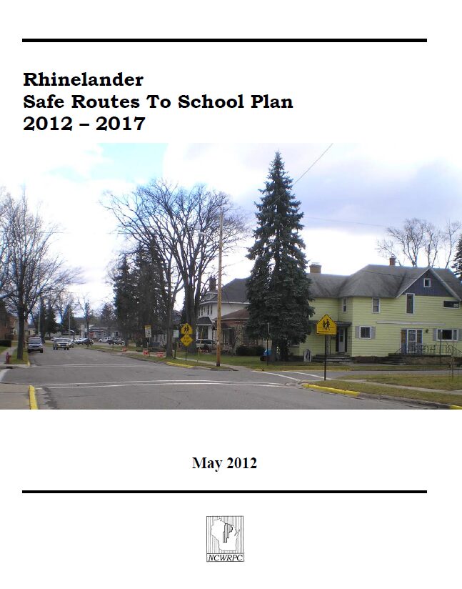
The City of Rhinelander and the School District of Rhinelander created a Safe Routes To School Task Force to apply for a planning grant. All of the public elementary schools in the City, the middle school, the police, city administration, and local citizens were all part of the Task Force. The approved planning grant paid 100% of NCWRPC’s planning services to assist with creating a Safe Routes To School plan.
Safe Routes to School (SRTS) began as a European phenomenon about thirty years ago and caught on in New York City in 1997. In the 1970s, Denmark had Europe’s highest child pedestrian accident rate. Implementing the first Safe Routes to School program, planners in Denmark identified specific road dangers around the country’s schools and took steps to remedy the hazards. Since 1970, the child pedestrian crash rate has dropped by 80% in Denmark.
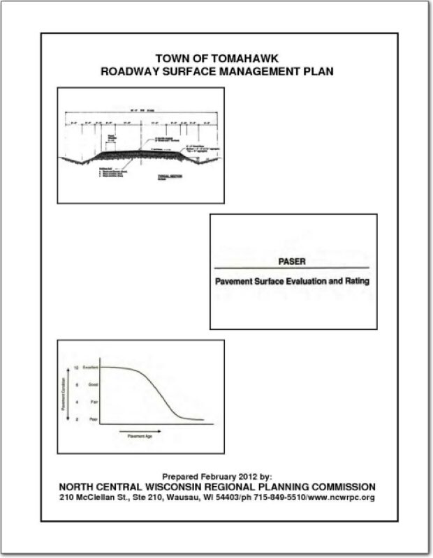
A roadway management plan for a local street system provides a community with the ability to plan for future roadway improvements. With a roadway management plan in place, the limited resources allocated to local roads can be better spent. The overall goal of the Roadway Management Plan is to assist municipalities make better decisions on the improvements to the local road system. This document contains information vital to the review and rating of the Town of Tomahawk’s roadway system. Thus, the Roadway Management Plan will assist in preserving and rehabilitating the existing Town street system in a timely and cost-effective manner.
.
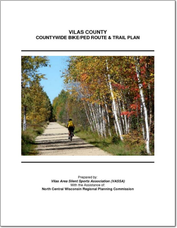
This plan is intended to guide the development of an interconnected bikeway and pedestrian system for Vilas County, Wisconsin. The Vilas Area Silent Sports Association (VASSA), in conjunction with the local area trail groups around the County, prepared this plan to establish a fresh blueprint for its efforts and the efforts of other agencies and organizations with interest in trails and routes within the County. The trails and routes recommended within the plan will connect people to destinations such as employment centers, schools, residential districts, recreation areas and commercial retail areas (downtowns and surrounding shopping areas). This plan incorporates interconnection with neighboring communities and various destinations outside of the County.
The Town requested general information with regard to traffic volumes on these roads. The attached reports summarize the data from these sites. For each location, there is a vehicle volume report, with average hourly vehicle counts by lane direction and totals for the counting period, a combined speed report with totals combined for both directions by speed group and time, and a combined classification report with totals combined for both directions by type of vehicle and time.
The NCWRPC has been actively involved in transportation planning and received “designation” as a rural transportation planning district from the Wisconsin Department of Transportation.
The Village requested general information with regard to traffic volumes on these roads. The attached reports summarize the data from these sites. For each location, there are two vehicle volume reports (#1 with average hourly vehicle counts by lane direction and totals for the counting period and #2 with daily volumes and peaks), a combined classification report with totals combined for both directions by type of vehicle and time, and a combined speed report with totals combined for both directions by speed group and time.
The Town requested general information with regard to traffic volumes on specific roads.